Road Stream Crossing Site CRW_048
Cedar River Watershed, West Branch Cedar River
Athey Rd
Hamilton Twp,
Clare County
Information collected by:
Site Location
GPS Coordinates: 44.045433
, -84.6669
T19N
R3W
Sec 16
Owned by Private
Fish Passability 0
Structure is NOT Perched
Total Erosion: 0.3697 tons/year
Severity: Severe
Year Inventoried: 2018
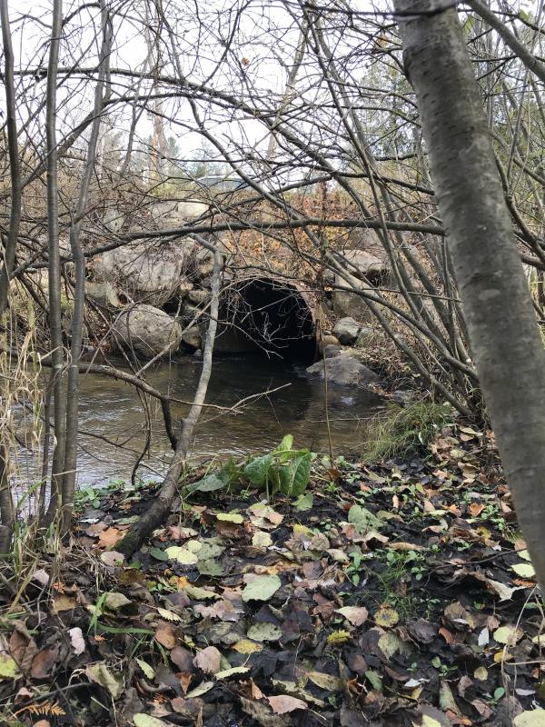
Inlet
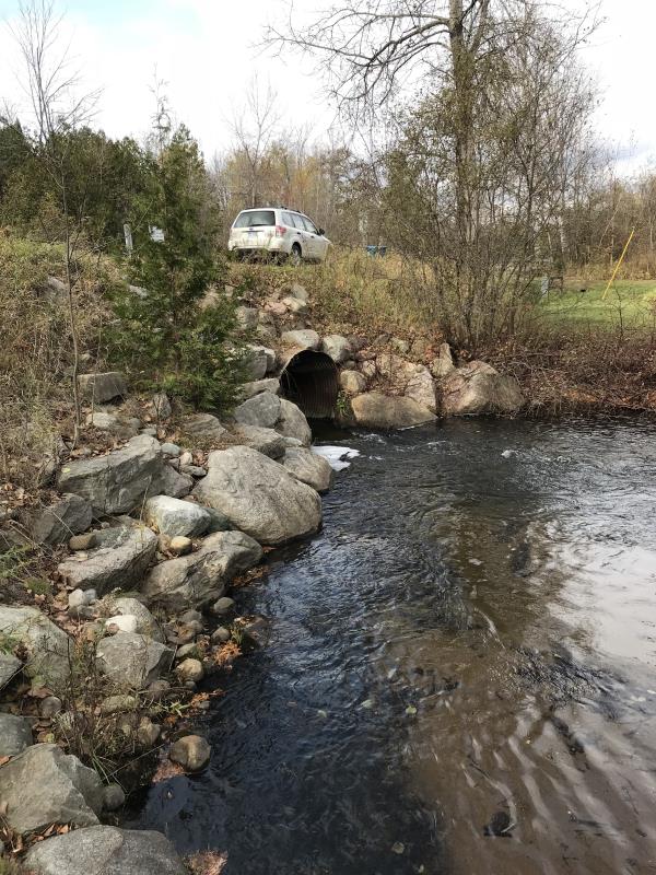
Outlet
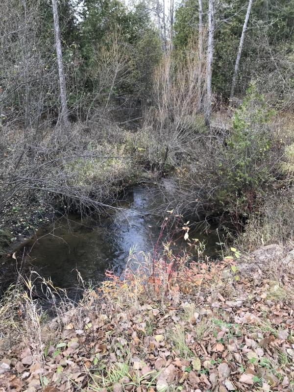
Upstream Conditions
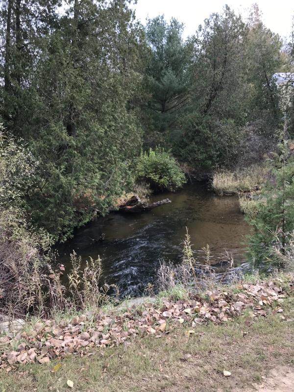
Downstream Conditions
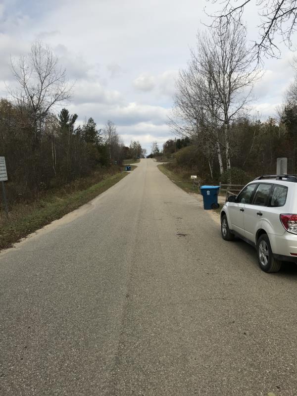
Road Approach - Left
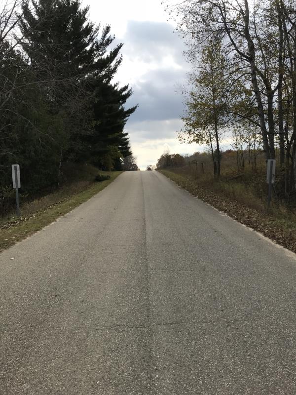
Road Approach - Right
Crossing Information
Type of Crossing: culvert(s)
Number of Structures: 1
Structure Shape: Round
Inlet Type: Projecting
Outlet Type: At Stream Grade
Structure Material: Metal
Structure Substrate: None
General Conditions: Good
Structure Interior: corrugated
Dimensions of Structure: Length 48 ft.
, Width 6 ft.
, Height 6 ft.
Percentage Plugged:
Inlet: 0%
Outlet: 0%
In Pipe: 0%
Percentage Crushed:
Inlet: 0%
Outlet: 0%
In Pipe: 0%
Structure is NOT Perched
Structure Inlet
Water Depth: 1.3 ft.
Embedded Depth of Structure: 0 ft.
Water Velocity*: 3.4 ft./sec.
Structure Outlet
Water Depth: 0.8 ft.
Embedded Depth of Structure: 0 ft.
Water Velocity*: 4 ft./sec.
*Water Velocities were measured 0.5 ft. below Surface
(with Meter)
Additional Comments
Lat: 44-02.726'; Long: 84-40.014'
Stream Information
Stream Flow: Less than Bankfull
Scour Pool: Length 80 ft.
, Width 60 ft.
, Depth 4.5 ft.
Upstream Pond: Length 30 ft.
, Width 20 ft.
, Depth 4 ft.
Riffle Information
Water Depth: 0.75 ft.
Bankfull Width: 36 ft.
Wetted Width: 23 ft.
Water Velocity: 2.8 ft./sec.
(Measured with Meter)
Dominant Substrate: Gravel
Road Information
Paved
County Road
Road Condition: Good
Road Width at Culvert: 21 ft.
Location of Low Point: Other
Runoff Path: Ditch
Embankments
Upstream
Fill Depth: 5 ft.
Slope: 1:1
Downstream
Fill Depth: 5 ft.
Slope: 1:1
Approaches
Left Approach
Length: 600 ft.
Slope: 1% to 5%
Vegetation: Heavy
LS Factor: 0.52
Erosion: 0.2166 tons/year
Right Approach
Length: 450 ft.
Slope: 1% to 5%
Vegetation: Heavy
LS Factor: 0.49
Erosion: 0.1531 tons/year
Erosion Information
Total Erosion at Crossing: 0.3697 tons/year
Extent of Erosion: Minor
Notes: Runoff from road directed to ditches. Does not flow directly to stream
Summary Information
Fish Passability 0
Fish Passage is an area of concern for this site.
Heavy flow through culvert
A future visit to this site is recommended. Fish passage issues
�