Road Stream Crossing Site CRW_049
Cedar River Watershed, West Branch Cedar River
Bailey Lake Rd
Hamilton Twp,
Clare County
Information collected by:
Site Location
GPS Coordinates: 44.032817
, -84.646517
T19N
R2W
Sec 15
Owned by Private
Fish Passability 1
Structure is NOT Perched
Total Erosion: 0.1858 tons/year
Severity: Minor
Year Inventoried: 2018
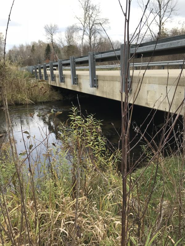
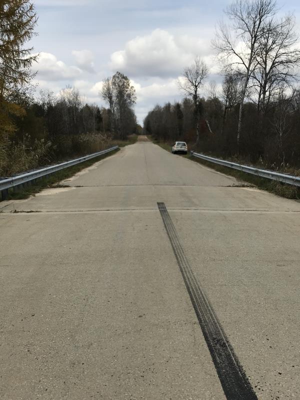
Inlet
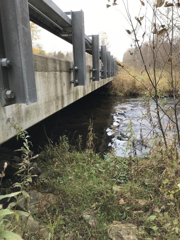
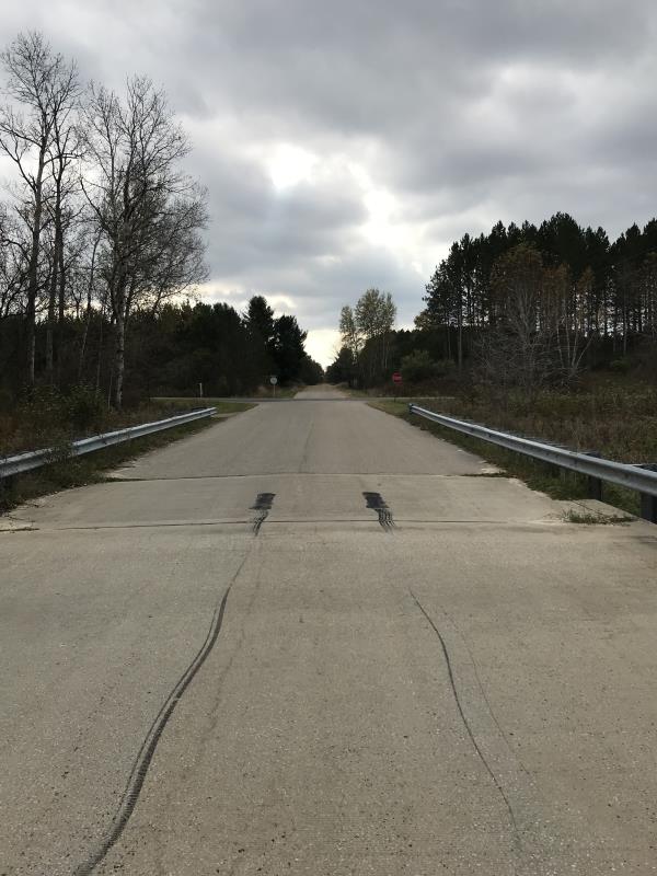
Outlet
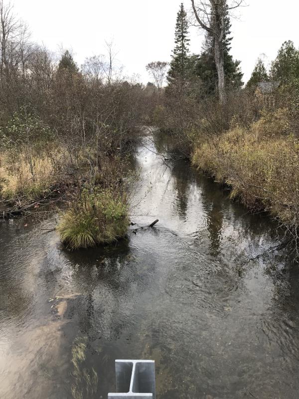
Upstream Conditions
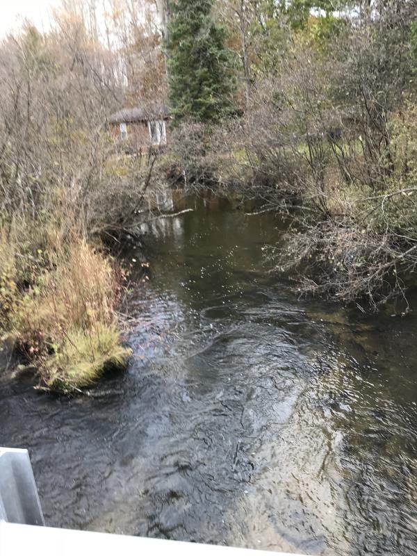
Downstream Conditions
Road Approach - Left
Road Approach - Right
Crossing Information
Type of Crossing: Bridge
Structure Shape: Open Bottom Square/Rectangle
Inlet Type: Other
Outlet Type: At Stream Grade
Structure Material: Concrete
Structure Substrate: Gravel
General Conditions: New
Structure Interior: smooth
Dimensions of Structure: Length 31 ft.
, Width 55 ft.
, Height 4 ft.
Percentage Plugged:
Inlet: 0%
Outlet: 0%
In Pipe: 0%
Percentage Crushed:
Inlet: 0%
Outlet: 0%
In Pipe: 0%
Structure is NOT Perched
Structure Inlet
Water Depth: 0.8 ft.
Embedded Depth of Structure: 0 ft.
Water Velocity*: 1.2 ft./sec.
Structure Outlet
Water Depth: 0.8 ft.
Embedded Depth of Structure: 0 ft.
Water Velocity*: 1.2 ft./sec.
*Water Velocities were measured 0.5 ft. below Surface
(with Meter)
Additional Comments
Lat: 44-01.969'; Long; 84-38.791'
Stream Information
Stream Flow: None
Scour Pool: Length 0 ft.
, Width 0 ft.
, Depth 0 ft.
Upstream Pond: Length 0 ft.
, Width 0 ft.
, Depth 0 ft.
Riffle Information
Water Depth: 0.8 ft.
Bankfull Width: 55 ft.
Wetted Width: 31 ft.
Water Velocity: 1.2 ft./sec.
(Measured with Meter)
Dominant Substrate: Gravel
Road Information
Paved
County Road
Road Condition: Good
Road Width at Culvert: 31 ft.
Location of Low Point: At Stream
Runoff Path: Ditch
Embankments
Upstream
Fill Depth: 2 ft.
Slope: 1:2
Downstream
Fill Depth: 2 ft.
Slope: 1:2
Approaches
Left Approach
Length: 550 ft.
Slope: Less Than 1%
Vegetation: Heavy
LS Factor: 0.05
Erosion: 0.0282 tons/year
Right Approach
Length: 330 ft.
Slope: 1% to 5%
Vegetation: Heavy
LS Factor: 0.466
Erosion: 0.1576 tons/year
Erosion Information
Total Erosion at Crossing: 0.1858 tons/year
Extent of Erosion: Minor
Notes: New bridge last 5 years. Approaches paved and runoff directed to ditches
Summary Information
Fish Passability 1
�