Road Stream Crossing Site CRW_053
Cedar River Watershed, Outlet from Forest Lake?
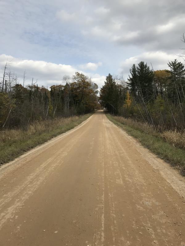
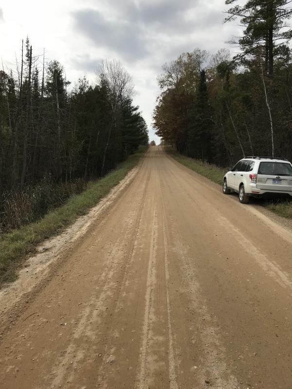
Long Lake Rd
Franklin Twp,
Clare County
Information collected by:
Site Location
GPS Coordinates: 44.104967
, -84.689883
T20N
R3W
Sec 21
Owned by Private
Fish Passability 0.9
Structure is NOT Perched
Total Erosion: 0.0014 tons/year
Severity: Moderate
Year Inventoried: 2018
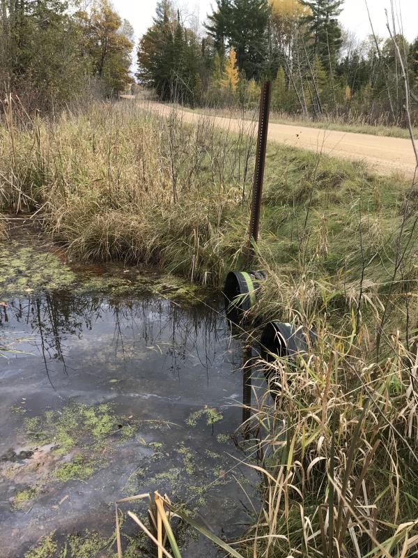
Inlet
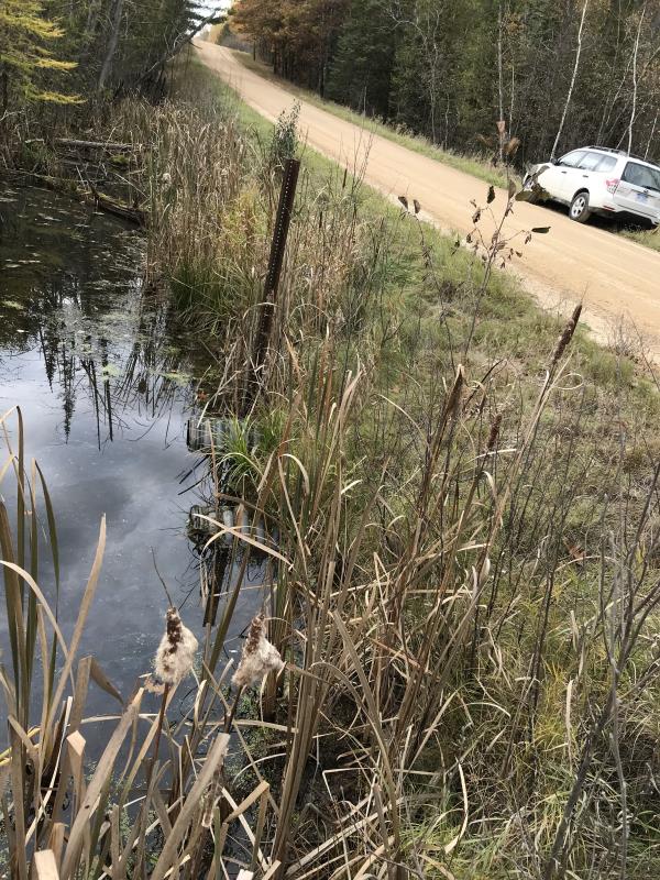
Outlet
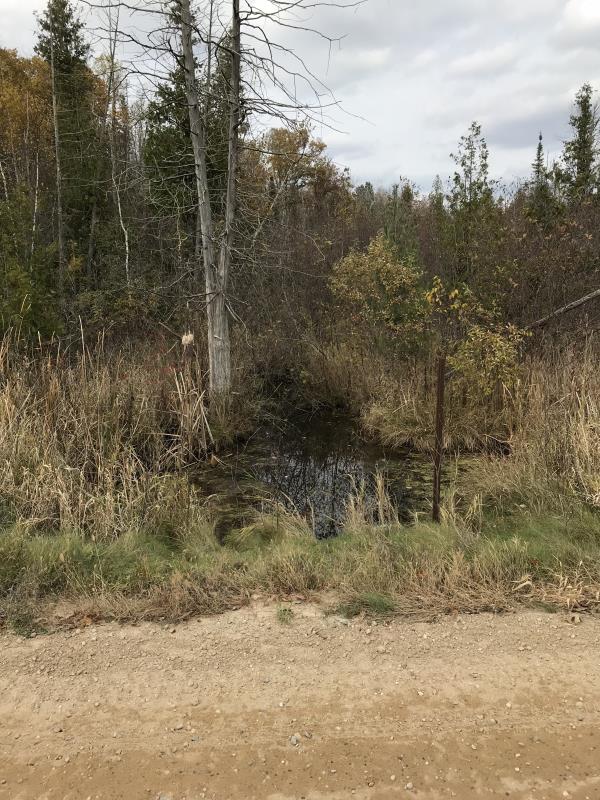
Upstream Conditions
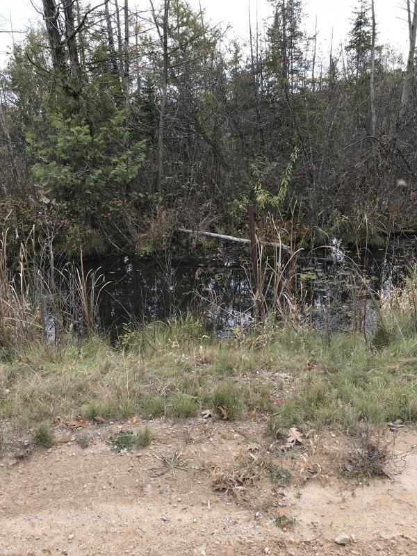
Downstream Conditions
Road Approach - Left
Road Approach - Right
Crossing Information
Type of Crossing: culvert(s)
Number of Structures: 2
Structure Shape: Round
Inlet Type: Projecting
Outlet Type: At Stream Grade
Structure Material: Plastic
Structure Substrate: Sand
General Conditions: Good
Multiple Culverts/Spans | ||||
Culvert/Span | Width | Length | Height | Material |
1 |
2 ft. |
31 ft. |
2 ft. |
Plastic |
2 |
2 ft. |
31 ft. |
2 ft. |
Plastic |
Structure Interior: corrugated
Dimensions of Structure: Length 31 ft.
, Width 2 ft.
, Height 2 ft.
Percentage Plugged:
Inlet: 0%
Outlet: 0%
In Pipe: 0%
Percentage Crushed:
Inlet: 0%
Outlet: 0%
In Pipe: 0%
Structure is NOT Perched
Structure Inlet
Water Depth: 1 ft.
Embedded Depth of Structure: 0.1 ft.
Water Velocity*: 0 ft./sec.
Structure Outlet
Water Depth: 1.5 ft.
Embedded Depth of Structure: 2.5 ft.
Water Velocity*: 0 ft./sec.
*Water Velocities were measured at the Surface
(with Meter)
Additional Comments
Lat: 44-06.298'; Long:84-41.393'
Stream Information
Stream Flow: None
Scour Pool: Length 0 ft.
, Width 0 ft.
, Depth 0 ft.
Upstream Pond: Length 0 ft.
, Width 0 ft.
, Depth 0 ft.
Riffle Information
Water Depth: 0 ft.
Bankfull Width: 0 ft.
Wetted Width: 0 ft.
Water Velocity: 0 ft./sec.
(Measured with Meter)
Dominant Substrate: Sand
Road Information
Gravel
County Road
Road Condition: Good
Road Width at Culvert: 21 ft.
Location of Low Point: At Stream
Runoff Path: Roadway
Approaches
Left Approach
Length: 2.5 ft.
Slope: Less Than 1%
Vegetation: Heavy
LS Factor: 0.05
Erosion: 0.0007 tons/year
Right Approach
Length: 2.5 ft.
Slope: Less Than 1%
Vegetation: Heavy
LS Factor: 0.05
Erosion: 0.0007 tons/year
Erosion Information
Total Erosion at Crossing: 0.0014 tons/year
Extent of Erosion: Minor
Notes: No issues
Summary Information
Fish Passability 0.9
These non-native species were observerd at this site: Purple Loosestrife
�