Road Stream Crossing Site CRW_056
Cedar River Watershed, Poppler Creek (Tributary to West Branch Cedar River)
Athey Ave
Franklin Twp,
Clare County
Information collected by:
Site Location
GPS Coordinates: 44.082433
, -84.6676
T20N
R2W
Sec 33
Owned by State
Fish Passability 0
Structure is NOT Perched
Total Erosion: 0.3664 tons/year
Severity: Severe
Year Inventoried: 2018
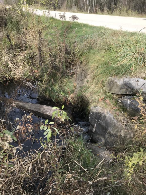
Inlet
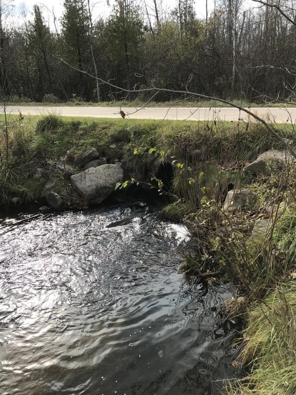
Outlet
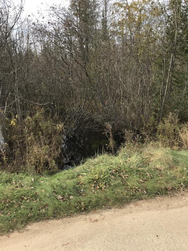
Upstream Conditions
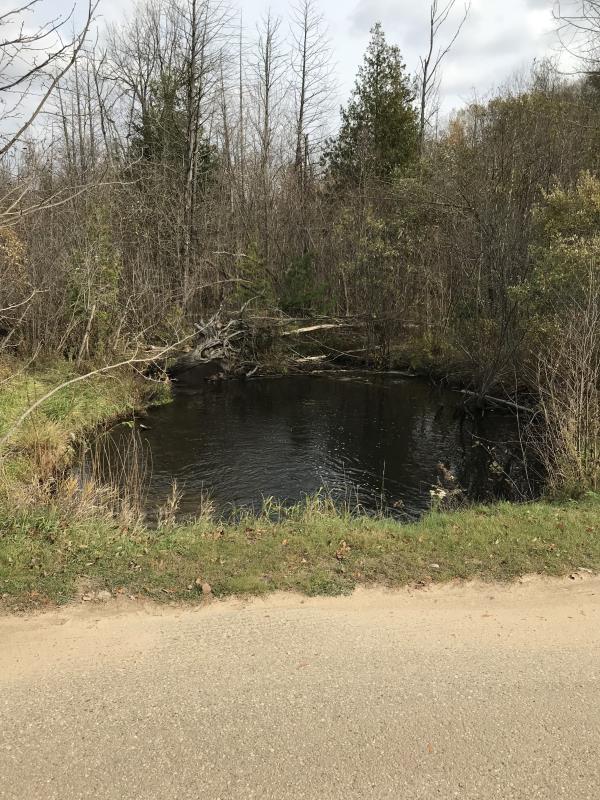
Downstream Conditions
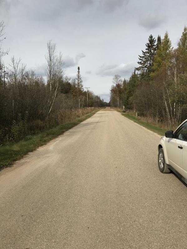
Road Approach - Left
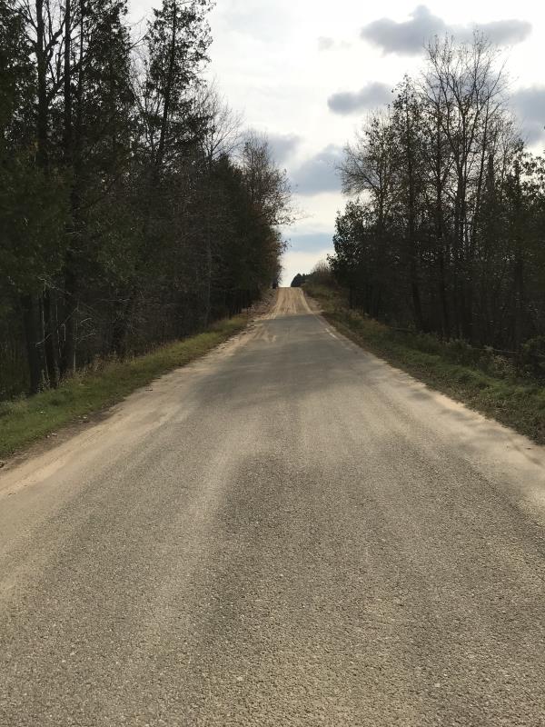
Road Approach - Right
Crossing Information
Type of Crossing: culvert(s)
Number of Structures: 1
Structure Shape: Round
Inlet Type: Projecting
Outlet Type: At Stream Grade
Structure Material: Metal
Structure Substrate: None
General Conditions: Good
Structure Interior: corrugated
Dimensions of Structure: Length 34 ft.
, Width 3 ft.
, Height 3 ft.
Percentage Plugged:
Inlet: 0%
Outlet: 0%
In Pipe: 0%
Percentage Crushed:
Inlet: 0%
Outlet: 0%
In Pipe: 0%
Structure is NOT Perched
Structure Inlet
Water Depth: 0.5 ft.
Embedded Depth of Structure: 0 ft.
Water Velocity*: 2.7 ft./sec.
Structure Outlet
Water Depth: 0.5 ft.
Embedded Depth of Structure: 0 ft.
Water Velocity*: 3.9 ft./sec.
*Water Velocities were measured 0.5 ft. below Surface
(with Meter)
Additional Comments
Lat: 44-04.946'; Long: 84-40.056' Looks like state land to west
Stream Information
Stream Flow: Less than 1/2 Bankfull
Scour Pool: Length 40 ft.
, Width 23 ft.
, Depth 4 ft.
Upstream Pond: Length 0 ft.
, Width 0 ft.
, Depth 0 ft.
Riffle Information
Water Depth: 0.5 ft.
Bankfull Width: 12 ft.
Wetted Width: 11 ft.
Water Velocity: 1 ft./sec.
(Measured with Meter)
Dominant Substrate: Sand
Road Information
Paved
County Road
Road Condition: Good
Road Width at Culvert: 21 ft.
Location of Low Point: At Stream
Runoff Path: Ditch
Embankments
Upstream
Fill Depth: 1.5 ft.
Slope: Vertical
Downstream
Fill Depth: 1.5 ft.
Slope: Vertical
Approaches
Left Approach
Length: 300 ft.
Slope: Less Than 1%
Vegetation: Heavy
LS Factor: 0.05
Erosion: 0.0104 tons/year
Right Approach
Length: 350 ft.
Slope: 6% to 10%
Vegetation: Heavy
LS Factor: 1.465
Erosion: 0.356 tons/year
Erosion Information
Total Erosion at Crossing: 0.3664 tons/year
Extent of Erosion: Minor
Notes: Gravel road with approaches to creek paved
Summary Information
Fish Passability 0
Fish Passage is an area of concern for this site.
Strewam flow is high
A future visit to this site is recommended. Fish Passage
These non-native species were observerd at this site: Crown Vetch
�