Road Stream Crossing Site CRW_059
Cedar River Watershed, Cranberry Creek Tributary to West Branch Cedar River
Rogers Rd
Hamilton Twp,
Clare County
Information collected by:
Site Location
GPS Coordinates: 44.046983
, -84.70705
T19N
R3W
Sec 7
Owned by Private
Fish Passability 0.9
Structure is NOT Perched
Total Erosion: 0.0436 tons/year
Severity: Minor
Year Inventoried: 2018
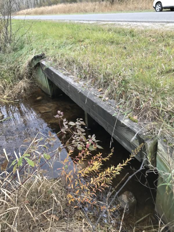
Inlet
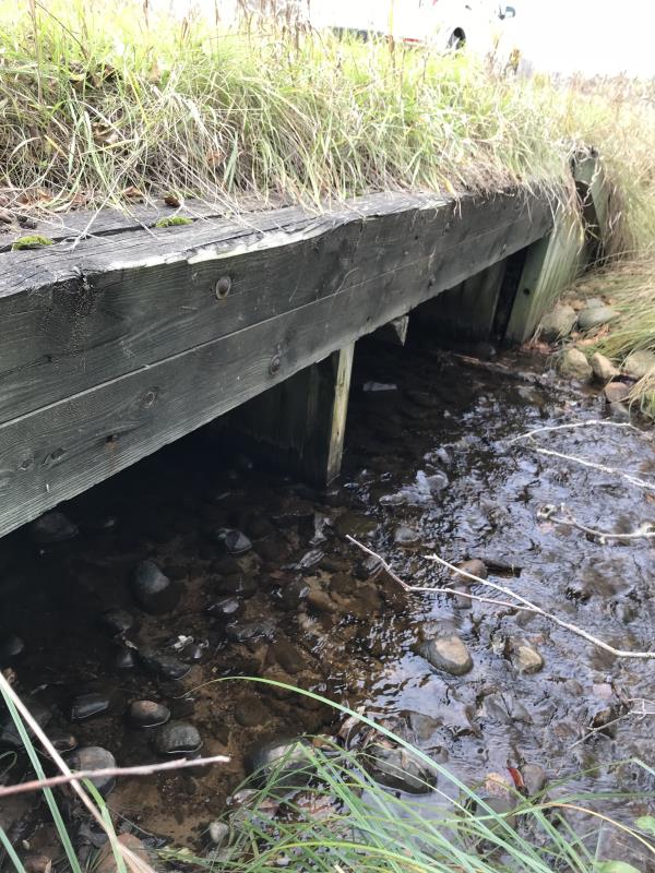
Outlet
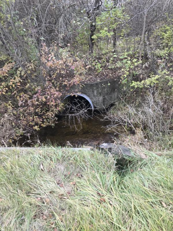
Upstream Conditions
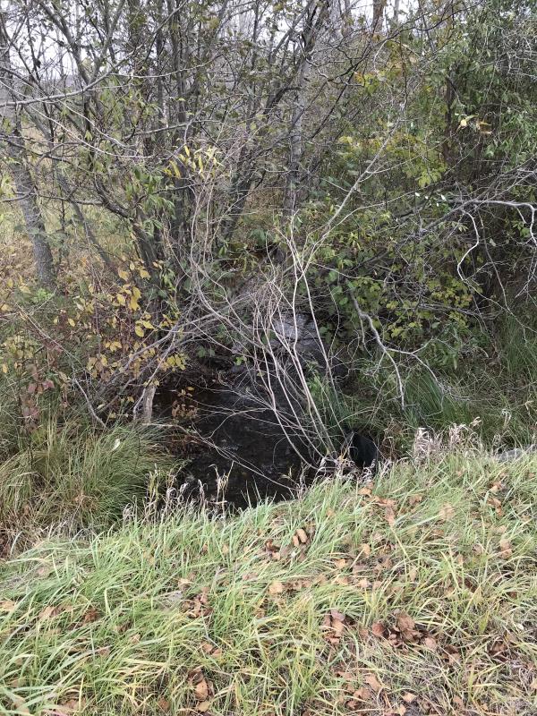
Downstream Conditions
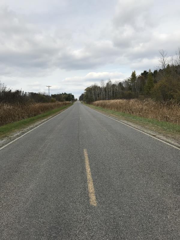
Road Approach - Left
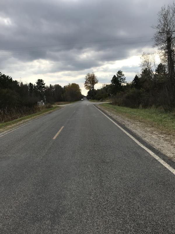
Road Approach - Right
Crossing Information
Type of Crossing: Bridge
Structure Shape: Open Bottom Square/Rectangle
Inlet Type: Headwall
Outlet Type: At Stream Grade
Structure Material: Wood
Structure Substrate: Mixture
General Conditions: Good
Structure Interior: smooth
Dimensions of Structure: Length 51 ft.
, Width 12 ft.
, Height 2.5 ft.
Percentage Plugged:
Inlet: 0%
Outlet: 0%
In Pipe: 0%
Percentage Crushed:
Inlet: 0%
Outlet: 0%
In Pipe: 0%
Structure is NOT Perched
Structure Inlet
Water Depth: 0.3 ft.
Embedded Depth of Structure: 0 ft.
Water Velocity*: 0.1 ft./sec.
Structure Outlet
Water Depth: 0.3 ft.
Embedded Depth of Structure: 0 ft.
Water Velocity*: 0.1 ft./sec.
*Water Velocities were measured at the Surface
(with Meter)
Additional Comments
Lat: 44-02.819'; Long: 84-42.423'
Stream Information
Stream Flow: None
Scour Pool: Length 0 ft.
, Width 0 ft.
, Depth 0 ft.
Upstream Pond: Length 0 ft.
, Width 0 ft.
, Depth 0 ft.
Riffle Information
Water Depth: 0 ft.
Bankfull Width: 0 ft.
Wetted Width: 0 ft.
Water Velocity: 0 ft./sec.
(Measured with Meter)
Dominant Substrate: Cobble
Road Information
Paved
County Road
Road Condition: Good
Road Width at Culvert: 22 ft.
Location of Low Point: At Stream
Runoff Path: Ditch
Embankments
Upstream
Fill Depth: 2 ft.
Slope: Vertical
Downstream
Fill Depth: 2 ft.
Slope: Vertical
Approaches
Left Approach
Length: 600 ft.
Slope: Less Than 1%
Vegetation: Heavy
LS Factor: 0.05
Erosion: 0.0218 tons/year
Right Approach
Length: 600 ft.
Slope: Less Than 1%
Vegetation: Heavy
LS Factor: 0.05
Erosion: 0.0218 tons/year
Erosion Information
Total Erosion at Crossing: 0.0436 tons/year
Notes: Minor site appears to be overflow from pond upstream 50 yards. Only issue would be if dam fails
Summary Information
Fish Passability 0.9
�