Road Stream Crossing Site CRW_059A
Cedar River Watershed, Cranberry Creek Tributary to West Branch Cedar River
Cranberry Lake Rd
Hamilton Twp,
Clare County
Information collected by:
Site Location
GPS Coordinates: 44.0463
, -84.7063
T19N
R3W
Sec 17
Owned by Private
Fish Passability 0.5
Structure is NOT Perched
Total Erosion: 0.2076 tons/year
Severity: Moderate
Year Inventoried: 2018
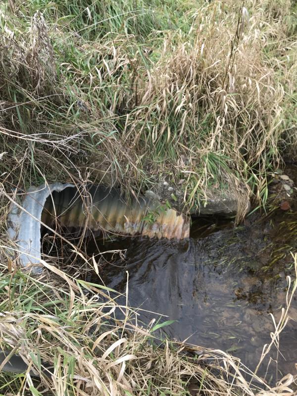
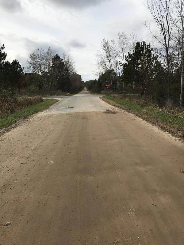
Inlet
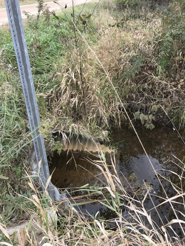
Outlet
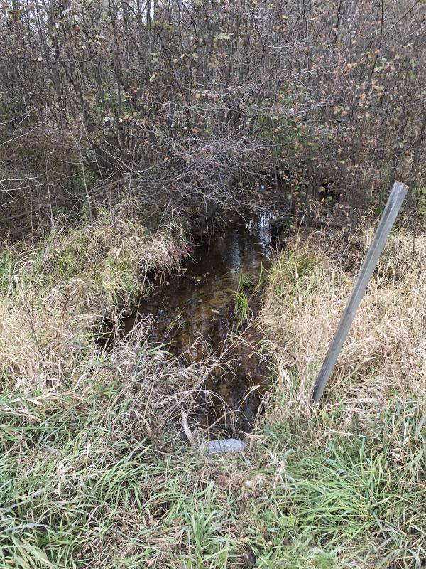
Upstream Conditions
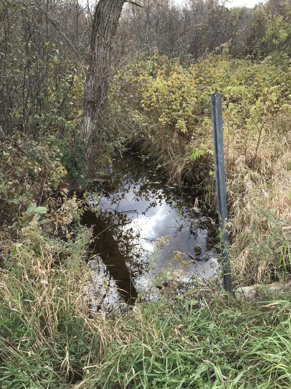
Downstream Conditions
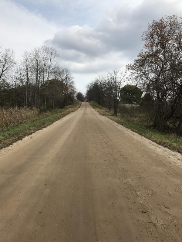
Road Approach - Left
Road Approach - Right
Crossing Information
Type of Crossing: culvert(s)
Number of Structures: 1
Structure Shape: Ellipse
Inlet Type: Mitered
Outlet Type: At Stream Grade
Structure Material: Metal
Structure Substrate: None
General Conditions: Good
Structure Interior: corrugated
Dimensions of Structure: Length 42 ft.
, Width 3.5 ft.
, Height 2.5 ft.
Percentage Plugged:
Inlet: 0%
Outlet: 0%
In Pipe: 0%
Percentage Crushed:
Inlet: 0%
Outlet: 0%
In Pipe: 0%
Structure is NOT Perched
Structure Inlet
Water Depth: 0.3 ft.
Embedded Depth of Structure: 0 ft.
Water Velocity*: 1.8 ft./sec.
Structure Outlet
Water Depth: 0.6 ft.
Embedded Depth of Structure: 0 ft.
Water Velocity*: 0.4 ft./sec.
*Water Velocities were measured at the Surface
(with Meter)
Additional Comments
Lat: 44-02.778'; Long: 84-42.378'
Stream Information
Stream Flow: Less than 1/2 Bankfull
Scour Pool: Length 0 ft.
, Width 0 ft.
, Depth 0 ft.
Upstream Pond: Length 0 ft.
, Width 0 ft.
, Depth 0 ft.
Riffle Information
Water Depth: 0 ft.
Bankfull Width: 0 ft.
Wetted Width: 0 ft.
Water Velocity: 0 ft./sec.
(Measured with Meter)
Dominant Substrate: Sand
Road Information
Gravel
County Road
Road Condition: Fair
Road Width at Culvert: 22 ft.
Location of Low Point: At Stream
Runoff Path: Roadway
Embankments
Upstream
Fill Depth: 30.5 ft.
Slope: 1:1.5
Downstream
Fill Depth: 30.6 ft.
Slope: 1:1.5
Approaches
Left Approach
Length: 445 ft.
Slope: Less Than 1%
Vegetation: Heavy
LS Factor: 0.05
Erosion: 0.1348 tons/year
Right Approach
Length: 240 ft.
Slope: Less Than 1%
Vegetation: Heavy
LS Factor: 0.05
Erosion: 0.0727 tons/year
Erosion Information
Total Erosion at Crossing: 0.2076 tons/year
Extent of Erosion: Minor
Notes: Erosion not an issue
Summary Information
Fish Passability 0.5
�