Road Stream Crossing Site CRW_060
Cedar River Watershed, Cranberry Creek Tributary to West Branch Cedar River
Athey Rd
Hamilton Twp,
Clare County
Information collected by:
Site Location
GPS Coordinates: 44.038733
, -84.666733
T19N
R2W
Sec 16
Owned by Private
Fish Passability 0.9
Structure is NOT Perched
Total Erosion: 0.2603 tons/year
Severity: Moderate
Year Inventoried: 2018
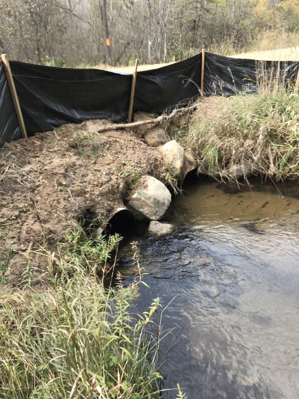
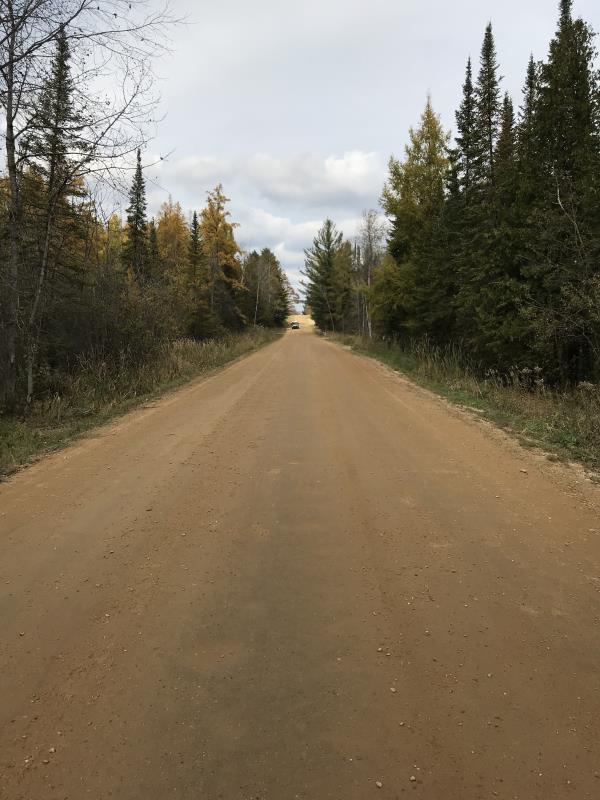
Inlet
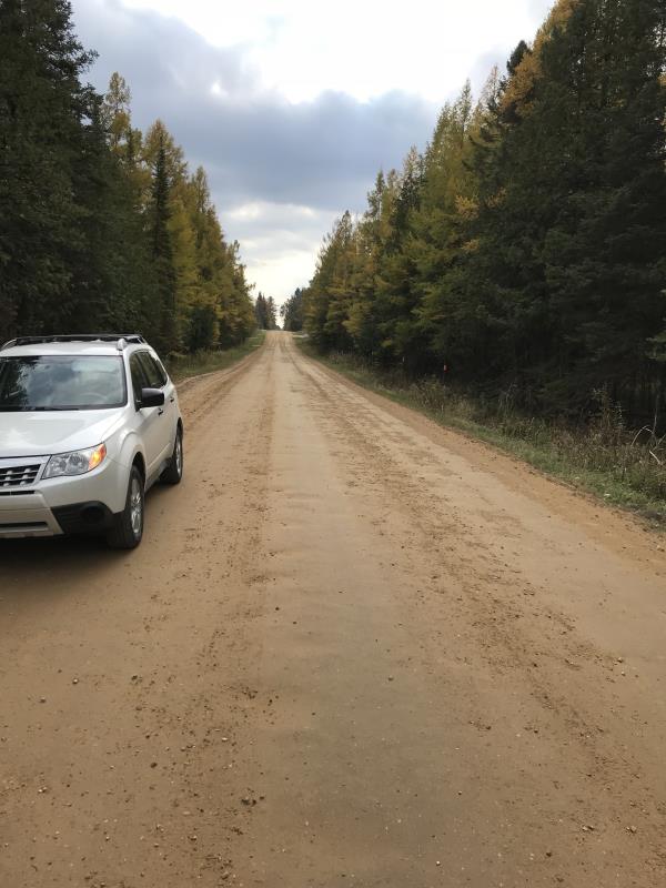
Outlet
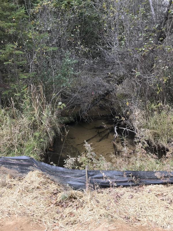
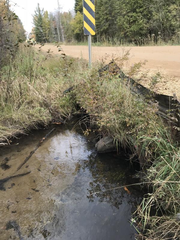
Upstream Conditions
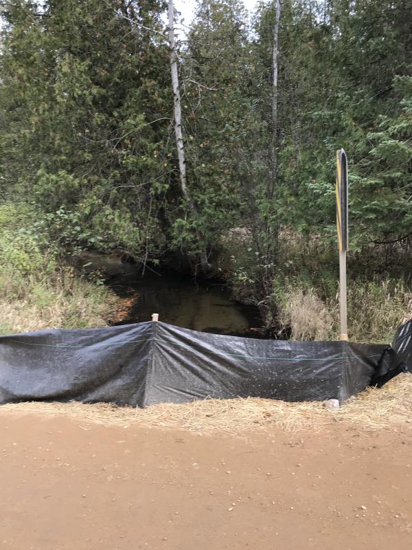
Downstream Conditions
Road Approach - Left
Road Approach - Right
Crossing Information
Type of Crossing: culvert(s)
Number of Structures: 3
Structure Shape: Round
Inlet Type: Projecting
Outlet Type: At Stream Grade
Structure Material: Metal
Structure Substrate: Sand
General Conditions: Good
Multiple Culverts/Spans | ||||
Culvert/Span | Width | Length | Height | Material |
1 |
2 ft. |
29 ft. |
2 ft. |
Metal |
2 |
2 ft. |
29 ft. |
2 ft. |
Metal |
3 |
2 ft. |
29 ft. |
2 ft. |
Metal |
Structure Interior: corrugated
Dimensions of Structure: Length 29 ft.
, Width 2 ft.
, Height 2 ft.
Percentage Plugged:
Inlet: 0%
Outlet: 0%
In Pipe: 0%
Percentage Crushed:
Inlet: 0%
Outlet: 0%
In Pipe: 0%
Structure is NOT Perched
Structure Inlet
Water Depth: 1 ft.
Embedded Depth of Structure: 0.3 ft.
Water Velocity*: 0.8 ft./sec.
Structure Outlet
Water Depth: 0.8 ft.
Embedded Depth of Structure: 0.3 ft.
Water Velocity*: 0.8 ft./sec.
*Water Velocities were measured at the Surface
(with Meter)
Additional Comments
Lat: 44-02.324'; Long: 84-40.004' Dsn Blummer Landowner
Stream Information
Stream Flow: Less than 1/2 Bankfull
Scour Pool: Length 0 ft.
, Width 0 ft.
, Depth 0 ft.
Upstream Pond: Length 0 ft.
, Width 0 ft.
, Depth 0 ft.
Riffle Information
Water Depth: 0.5 ft.
Bankfull Width: 16 ft.
Wetted Width: 13 ft.
Water Velocity: 0.7 ft./sec.
(Measured with Meter)
Dominant Substrate: Gravel
Road Information
Gravel
County Road
Road Condition: Good
Road Width at Culvert: 21 ft.
Location of Low Point: At Stream
Runoff Path: Ditch
Embankments
Upstream
Fill Depth: 2 ft.
Slope: Vertical
Downstream
Fill Depth: 2 ft.
Slope: Vertical
Approaches
Left Approach
Length: 300 ft.
Slope: Less Than 1%
Vegetation: Heavy
LS Factor: 0.05
Erosion: 0.0868 tons/year
Right Approach
Length: 600 ft.
Slope: Less Than 1%
Vegetation: Heavy
LS Factor: 0.05
Erosion: 0.1736 tons/year
Erosion Information
Total Erosion at Crossing: 0.2603 tons/year
Extent of Erosion: Minor
Notes: Upstream side seems to have more sand than downstream, indicating road erosion is not an issue
Summary Information
Fish Passability 0.9
A future visit to this site is recommended. Yes, stabelize the inlet and outlet with rock riprap.
�