Road Stream Crossing Site CRW_060B
Cedar River Watershed, Decker Lake Drain
Townline Rd
Hamilton Twp,
Clare County
Information collected by:
Site Location
GPS Coordinates: 44.032
, -84.64825
T19N
R3W
Sec 15
Owned by Private
Fish Passability 0.5
Structure is NOT Perched
Total Erosion: 0.0496 tons/year
Severity: Moderate
Year Inventoried: 2018
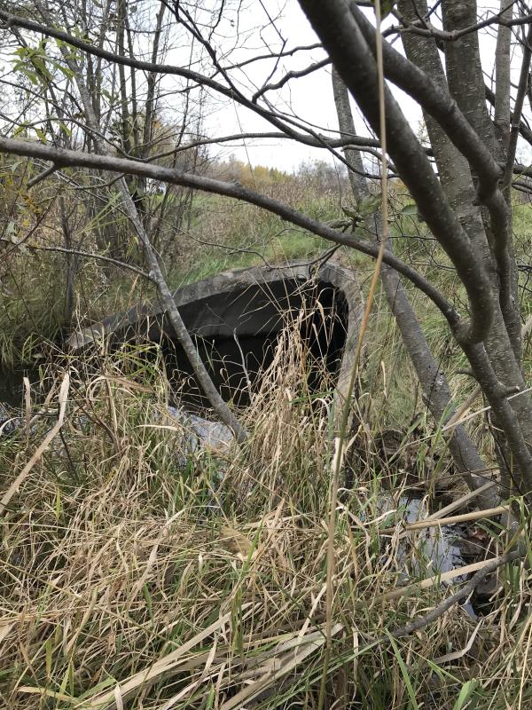
Inlet
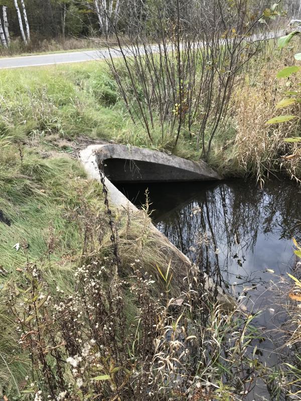
Outlet
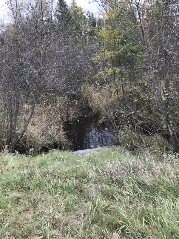
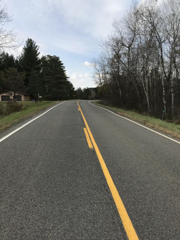
Upstream Conditions
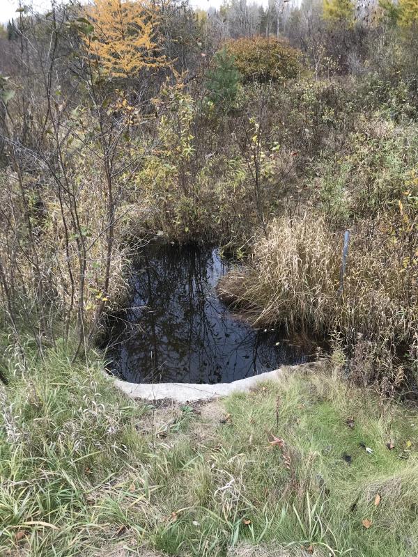
Downstream Conditions
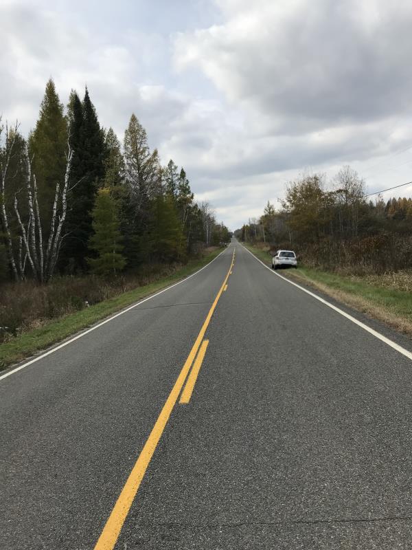
Road Approach - Left
Road Approach - Right
Crossing Information
Type of Crossing: culvert(s)
Number of Structures: 1
Structure Shape: Round
Inlet Type: Wingwall 10-30 Degree
Outlet Type: At Stream Grade
Structure Material: Concrete
Structure Substrate: Sand
General Conditions: Good
Structure Interior: smooth
Dimensions of Structure: Length 57 ft.
, Width 2 ft.
, Height 2 ft.
Percentage Plugged:
Inlet: 76% to 100%
Outlet: 76% to 100%
In Pipe: 1% to 25%
Percentage Crushed:
Inlet: 0%
Outlet: 0%
In Pipe: 0%
Structure is NOT Perched
Structure Inlet
Water Depth: 0.1 ft.
Embedded Depth of Structure: 0.5 ft.
Water Velocity*: 0 ft./sec.
Structure Outlet
Water Depth: 0.3 ft.
Embedded Depth of Structure: 0.8 ft.
Water Velocity*: 0.5 ft./sec.
*Water Velocities were measured at the Surface
(with Meter)
Additional Comments
Lat: 44-01.920'; Long: 84-38.887
Stream Information
Stream Flow: Less than 1/2 Bankfull
Scour Pool: Length 0 ft.
, Width 0 ft.
, Depth 0 ft.
Upstream Pond: Length 0 ft.
, Width 0 ft.
, Depth 0 ft.
Riffle Information
Water Depth: 0 ft.
Bankfull Width: 0 ft.
Wetted Width: 0 ft.
Water Velocity: 0 ft./sec.
(Measured with Meter)
Dominant Substrate: Sand
Road Information
Paved
County Road
Road Condition: Good
Road Width at Culvert: 25 ft.
Location of Low Point: Other
Runoff Path: Ditch
Embankments
Upstream
Fill Depth: 3.8 ft.
Slope: More than 1:2
Downstream
Fill Depth: 3.8 ft.
Slope: More than 1:2
Approaches
Left Approach
Length: 600 ft.
Slope: Less Than 1%
Vegetation: Heavy
LS Factor: 0.05
Erosion: 0.0248 tons/year
Right Approach
Length: 600 ft.
Slope: Less Than 1%
Vegetation: Heavy
LS Factor: 0.05
Erosion: 0.0248 tons/year
Erosion Information
Total Erosion at Crossing: 0.0496 tons/year
Extent of Erosion: Minor
Notes: Erosion not an issue
Summary Information
Fish Passability 0.5
These non-native species were observerd at this site: Purple Loose strife
�