Road Stream Crossing Site CRW_061
Cedar River Watershed, Smith Creek (Tributary to Middle Branch Cedar River)
Hamilton Twp,
Clare County
Information collected by:
Site Location
GPS Coordinates: 44.022483
, -84.6264
T18N
R3W
Sec 23
Owned by Private
Fish Passability 0.5
Structure is NOT Perched
Total Erosion: 0.076 tons/year
Severity: Moderate
Year Inventoried: 2018
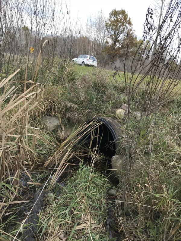
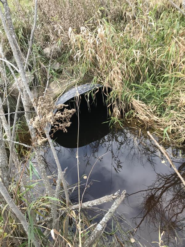
Inlet
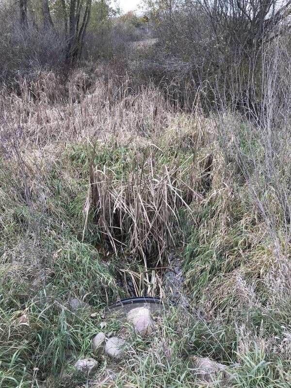
Outlet
Upstream Conditions
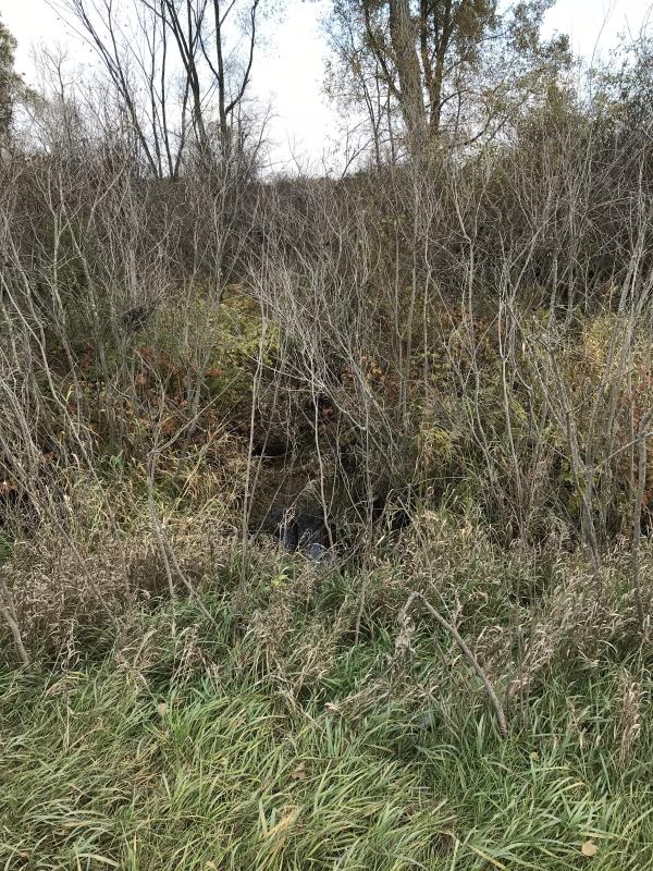
Downstream Conditions
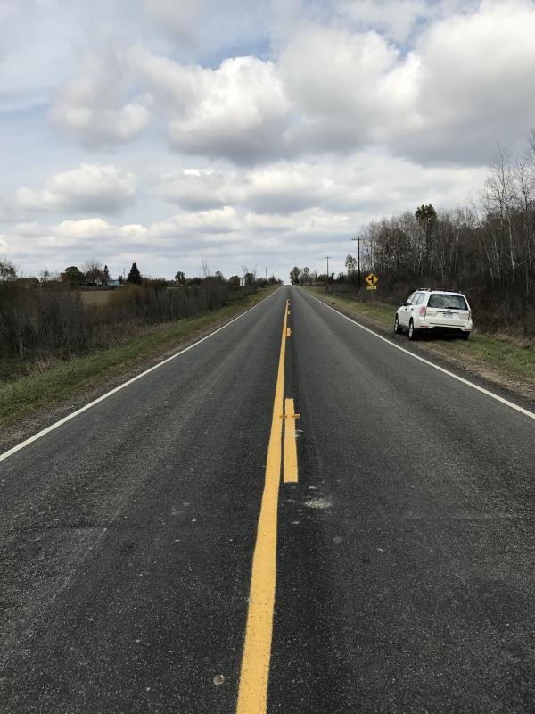
Road Approach - Left
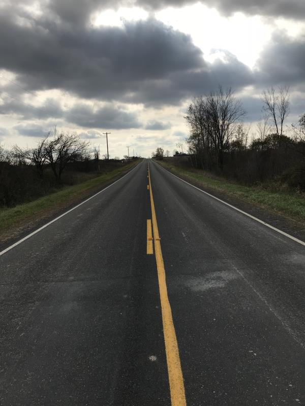
Road Approach - Right
Crossing Information
Type of Crossing: culvert(s)
Number of Structures: 1
Structure Shape: Round
Inlet Type: Projecting
Outlet Type: At Stream Grade
Structure Material: Metal
Structure Substrate: None
General Conditions: Good
Structure Interior: corrugated
Dimensions of Structure: Length 60 ft.
, Width 4 ft.
, Height 4 ft.
Percentage Plugged:
Inlet: 76% to 100%
Outlet: 76% to 100%
In Pipe: 0%
Percentage Crushed:
Inlet: 0%
Outlet: 0%
In Pipe: 0%
Structure is NOT Perched
Water Depth: 0 ft.
Embedded Depth of Structure: 0 ft.
Water Velocity*: 0 ft./sec.
Water Depth: 0 ft.
Embedded Depth of Structure: 0 ft.
Water Velocity*: 0 ft./sec.
*Water Velocities were measured at the Surface
(with Meter)
Additional Comments
Lat: 44-01.349'; Long: 84-37.584'
Stream Information
Stream Flow: None
Scour Pool: Length 0 ft.
, Width 0 ft.
, Depth 0 ft.
Upstream Pond: Length 0 ft.
, Width 0 ft.
, Depth 0 ft.
Riffle Information
Water Depth: 0 ft.
Bankfull Width: 0 ft.
Wetted Width: 0 ft.
Water Velocity: 0 ft./sec.
(Measured with Meter)
Dominant Substrate: Sand
Road Information
Paved
County Road
Road Condition: Good
Road Width at Culvert: 23 ft.
Location of Low Point: At Stream
Runoff Path: Ditch
Embankments
Upstream
Fill Depth: 3 ft.
Slope: 1:1.5
Downstream
Fill Depth: 3 ft.
Slope: 1:1.5
Approaches
Left Approach
Length: 1000 ft.
Slope: Less Than 1%
Vegetation: Heavy
LS Factor: 0.05
Erosion: 0.038 tons/year
Right Approach
Length: 1000 ft.
Slope: Less Than 1%
Vegetation: Heavy
LS Factor: 0.05
Erosion: 0.038 tons/year
Erosion Information
Total Erosion at Crossing: 0.076 tons/year
Extent of Erosion: Minor
Notes: Seasonal Water Flow & after hard rain. No an issue for river
Summary Information
Fish Passability 0.5
�