Road Stream Crossing Site CRW_062
Cedar River Watershed, Smith Creek (Tributary to Middle Branch Cedar River)
Clarwin Rd
Hamilton Twp,
Clare County
Information collected by:
Site Location
GPS Coordinates: 44.0369
, -84.606483
T19N
R2W
Sec 24
Owned by Private
Fish Passability 0.5
Structure is NOT Perched
Total Erosion: 0.3085 tons/year
Severity: Moderate
Year Inventoried: 2018
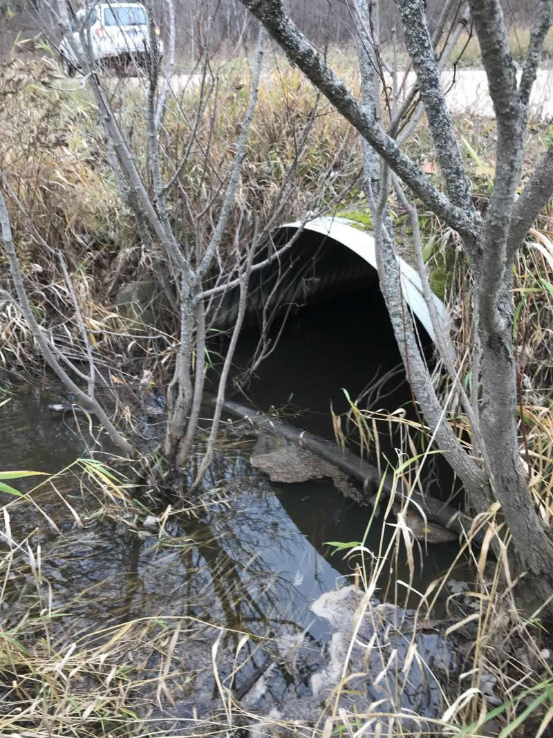
Inlet
Outlet
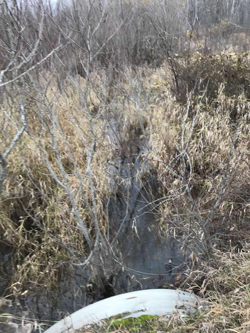
Upstream Conditions
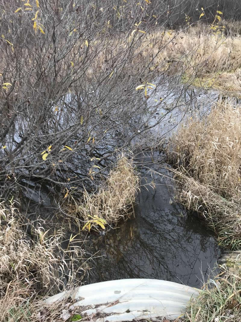
Downstream Conditions
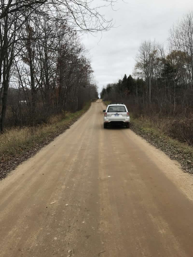
Road Approach - Left
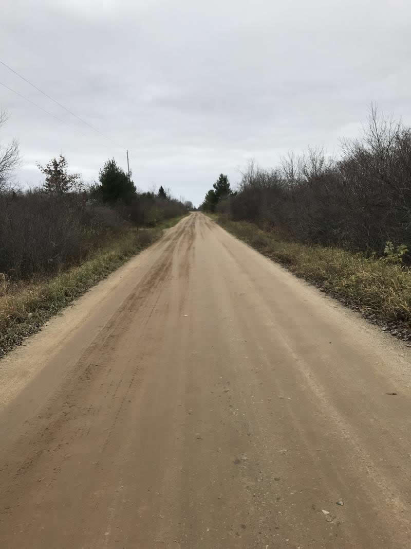
Road Approach - Right
Crossing Information
Type of Crossing: culvert(s)
Number of Structures: 1
Structure Shape: Ellipse
Inlet Type: Projecting
Outlet Type: At Stream Grade
Structure Material: Metal
Structure Substrate: None
General Conditions: Poor
Structure Interior: corrugated
Structure is Rusted through
Dimensions of Structure: Length 22 ft.
, Width 7 ft.
, Height 5 ft.
Percentage Plugged:
Inlet: 51% to 75%
Outlet: 1% to 25%
In Pipe: 0%
Percentage Crushed:
Inlet: 0%
Outlet: 0%
In Pipe: 0%
Structure is NOT Perched
Water Depth: 0 ft.
Embedded Depth of Structure: 0 ft.
Water Velocity*: 0 ft./sec.
Water Depth: 0 ft.
Embedded Depth of Structure: 0 ft.
Water Velocity*: 0 ft./sec.
*Water Velocities were measured at the Surface
(with Meter)
Additional Comments
Lat: 44-02.214'; Long: 84-36.389'
Stream Information
Stream Flow: None
Scour Pool: Length 0 ft.
, Width 0 ft.
, Depth 0 ft.
Upstream Pond: Length 0 ft.
, Width 0 ft.
, Depth 0 ft.
Riffle Information
Water Depth: 0 ft.
Bankfull Width: 0 ft.
Wetted Width: 0 ft.
Water Velocity: 0 ft./sec.
(Measured with Meter)
Dominant Substrate: Sand
Road Information
Gravel
County Road
Road Condition: Good
Road Width at Culvert: 16 ft.
Location of Low Point: At Stream
Runoff Path: Ditch
Embankments
Upstream
Fill Depth: 0.5 ft.
Slope: 1:1
Downstream
Fill Depth: 0.5 ft.
Slope: 1:1
Approaches
Left Approach
Length: 950 ft.
Slope: Less Than 1%
Vegetation: Heavy
LS Factor: 0.05
Erosion: 0.2094 tons/year
Right Approach
Length: 450 ft.
Slope: Less Than 1%
Vegetation: Heavy
LS Factor: 0.05
Erosion: 0.0992 tons/year
Erosion Information
Total Erosion at Crossing: 0.3085 tons/year
Extent of Erosion: Minor
Notes: Minor crossing Erosion not an issue
Summary Information
Fish Passability 0.5
A future visit to this site is recommended. Culvert is rusted
�