Road Stream Crossing Site CRW_064
Cedar River Watershed, Smith Creek (Tributary to Middle Branch Cedar River)
Watson Rd
Sage Twp,
Gladwin County
Information collected by:
Site Location
GPS Coordinates: 44.0098
, -84.590033
T19N
R2W
Sec 30
Owned by Private
Fish Passability 0.5
Structure is NOT Perched
Total Erosion: 0.1617 tons/year
Severity: Moderate
Year Inventoried: 2018
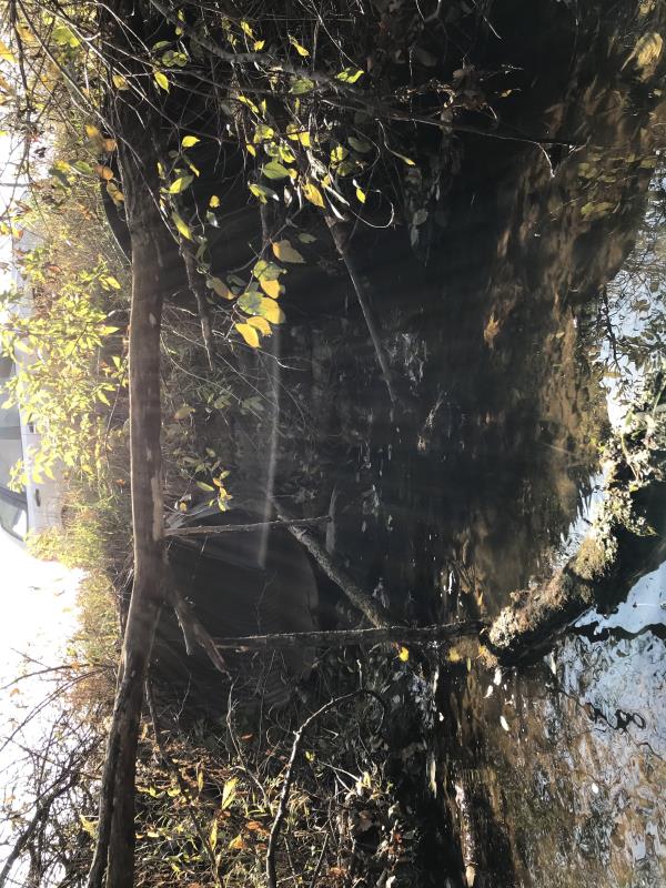
Inlet
Outlet
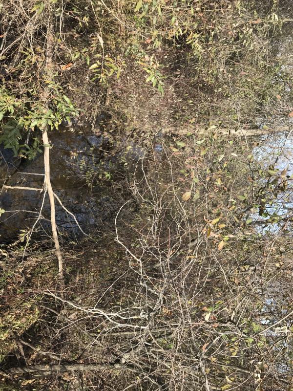
Upstream Conditions
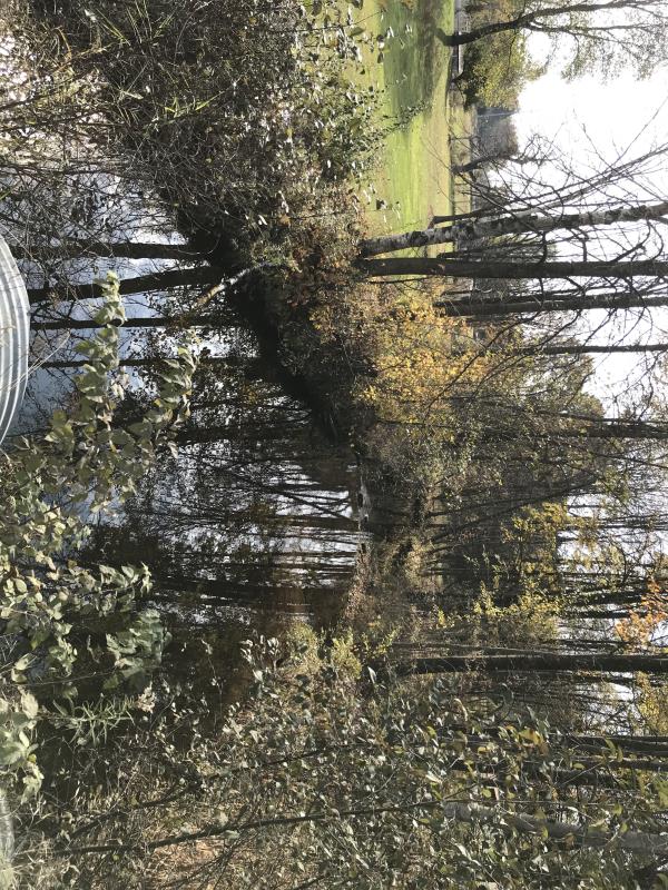
Downstream Conditions
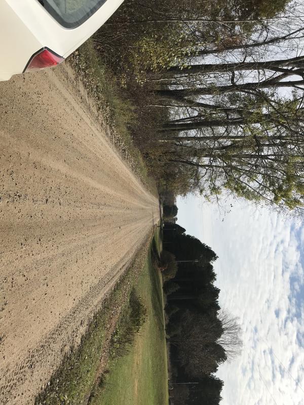
Road Approach - Left
Road Approach - Right
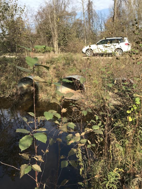
Crossing Information
Type of Crossing: culvert(s)
Number of Structures: 3
Structure Shape: Ellipse
Inlet Type: Projecting
Outlet Type: At Stream Grade
Structure Material: Metal
Structure Substrate: None
General Conditions: Good
Multiple Culverts/Spans | ||||
Culvert/Span | Width | Length | Height | Material |
1 |
5.5 ft. |
40 ft. |
4 ft. |
Metal |
2 |
5.5 ft. |
40 ft. |
4 ft. |
Metal |
3 |
5.5 ft. |
40 ft. |
4 ft. |
Metal |
Structure Interior: corrugated
Dimensions of Structure: Length 40 ft.
, Width 5.5 ft.
, Height 4 ft.
Percentage Plugged:
Inlet: 0%
Outlet: 0%
In Pipe: 0%
Percentage Crushed:
Inlet: 0%
Outlet: 0%
In Pipe: 0%
Structure is NOT Perched
Structure Inlet
Water Depth: 0.8 ft.
Embedded Depth of Structure: 0 ft.
Water Velocity*: 0 ft./sec.
Structure Outlet
Water Depth: 0.8 ft.
Embedded Depth of Structure: 0 ft.
Water Velocity*: 0 ft./sec.
*Water Velocities were measured at the Surface
(with Meter)
Additional Comments
Lat: 44-00.588'; Long: 84-35.402' Landowner Manfield
Stream Information
Stream Flow: None
Scour Pool: Length 40 ft.
, Width 20 ft.
, Depth 2 ft.
Upstream Pond: Length 0 ft.
, Width 0 ft.
, Depth 0 ft.
Riffle Information
Water Depth: 0 ft.
Bankfull Width: 0 ft.
Wetted Width: 0 ft.
Water Velocity: 0 ft./sec.
(Measured with Meter)
Dominant Substrate: Sand
Road Information
Gravel
County Road
Road Condition: Good
Road Width at Culvert: 18 ft.
Location of Low Point: At Stream
Runoff Path: Ditch
Embankments
Upstream
Fill Depth: 2.5 ft.
Slope: 1:1
Downstream
Fill Depth: 2 ft.
Slope: 1:1
Approaches
Left Approach
Length: 220 ft.
Slope: Less Than 1%
Vegetation: Partial
LS Factor: 0.05
Erosion: 0.0545 tons/year
Right Approach
Length: 400 ft.
Slope: Less Than 1%
Vegetation: Heavy
LS Factor: 0.05
Erosion: 0.0992 tons/year
Erosion Information
Total Erosion at Crossing: 0.1617 tons/year
Extent of Erosion: Minor
Erosion is occurring and corrective actions can be installed to address the problem.
Notes: Gully's between tubes indicate erosion. Site is minor as stream has no flow except after rain
Location of Erosion | Erosion Dimensions | Eroded Material | Material Eroded | Total Erosion | ||
facing downstream | Length | Width | Depth | Reaching Stream? | (tons/year) | |
Left Downstream Embankment |
4 ft. |
2 ft. |
1 ft. |
yes |
Gravel |
0.004 |
Right Downstream Embankment |
4 ft. |
2 ft. |
1 ft. |
yes |
Gravel |
0.004 |
Summary Information
Fish Passability 0.5
�