Road Stream Crossing Site CRW_082
Cedar River Watershed, Howland Creek
M-61
Hamilton Twp,
Clare County
Information collected by:
Site Location
GPS Coordinates: 43.988833
, -84.620767
T19N
R3W
Sec 25
Owned by Private
Fish Passability 0.5
Structure is NOT Perched
Total Erosion: 1.6582 tons/year
Severity: Moderate
Year Inventoried: 2018
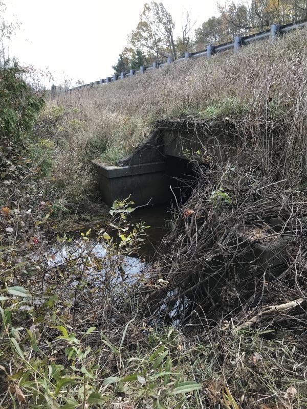
Inlet
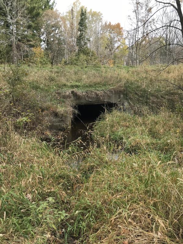
Outlet
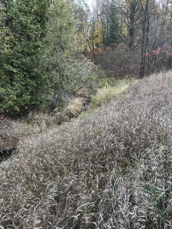
Upstream Conditions
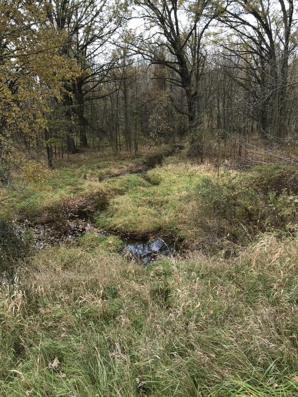
Downstream Conditions
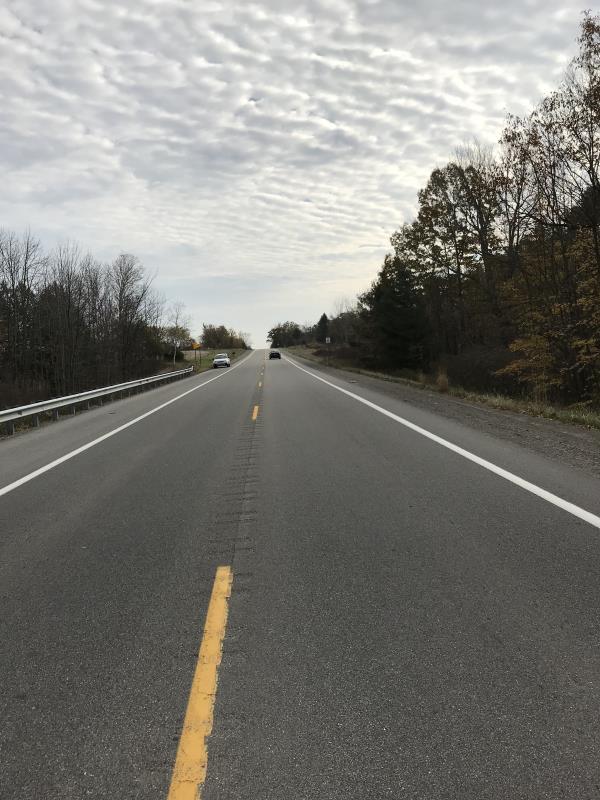
Road Approach - Left
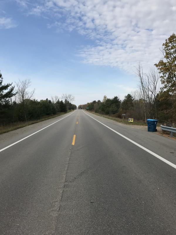
Road Approach - Right
Crossing Information
Type of Crossing: Bridge
Structure Shape: Square/Rectangle
Inlet Type: Headwall
Outlet Type: Outlet Apron
Structure Material: Concrete
Structure Substrate: None
General Conditions: Fair
Structure Interior: smooth
Dimensions of Structure: Length 84.5 ft.
, Width 10 ft.
, Height 4 ft.
Percentage Plugged:
Inlet: 0%
Outlet: 0%
In Pipe: 0%
Percentage Crushed:
Inlet: 0%
Outlet: 0%
In Pipe: 0%
Structure is NOT Perched
Water Depth: 0 ft.
Embedded Depth of Structure: 0 ft.
Water Velocity*: 0 ft./sec.
Water Depth: 0 ft.
Embedded Depth of Structure: 0 ft.
Water Velocity*: 0 ft./sec.
*Water Velocities were measured at the Surface
(with Meter)
Additional Comments
Lat: 43-59.33; Long: 84-37.246
Stream Information
Stream Flow: None
Scour Pool: Length 12 ft.
, Width 12 ft.
, Depth 1 ft.
Upstream Pond: Length 0 ft.
, Width 0 ft.
, Depth 0 ft.
Riffle Information
Water Depth: 0 ft.
Bankfull Width: 0 ft.
Wetted Width: 0 ft.
Water Velocity: 0 ft./sec.
(Measured with Meter)
Dominant Substrate: Silt
Road Information
Paved
State Road
Road Condition: Fair
Road Width at Culvert: 44 ft.
Location of Low Point: At Stream
Runoff Path: Ditch
Embankments
Upstream
Fill Depth: 5 ft.
Slope: 1:2
Downstream
Fill Depth: 5.3 ft.
Slope: 1:2
Approaches
Left Approach
Length: 1000 ft.
Slope: 1% to 5%
Vegetation: Heavy
LS Factor: 0.57
Erosion: 0.8291 tons/year
Right Approach
Length: 1000 ft.
Slope: 1% to 5%
Vegetation: Heavy
LS Factor: 0.57
Erosion: 0.8291 tons/year
Erosion Information
Total Erosion at Crossing: 1.6582 tons/year
Extent of Erosion: Stabilized
Notes: No erosion noted
Summary Information
Fish Passability 0.5
�