Road Stream Crossing Site CRW_089
Cedar River Watershed, County Drain
Shaw Rd
Sage Twp,
Gladwin County
Information collected by:
Site Location
GPS Coordinates: 44.042617
, -84.545267
T19N
R2W
Sec 15
Owned by Private
Fish Passability 0.9
Structure is NOT Perched
Total Erosion: 0.595 tons/year
Severity: Moderate
Year Inventoried: 2018
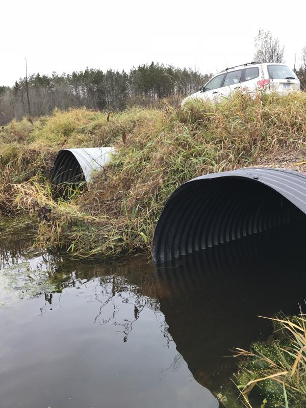
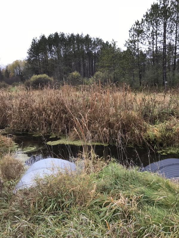
Inlet
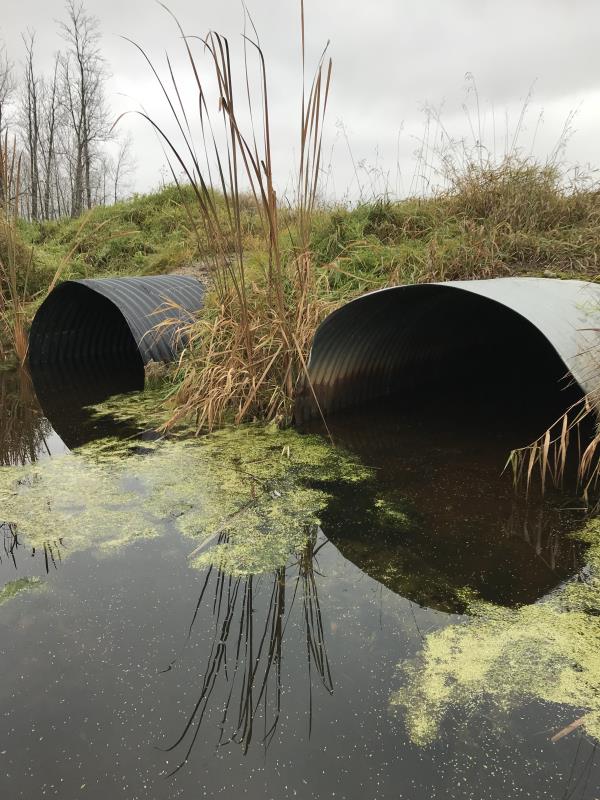
Outlet
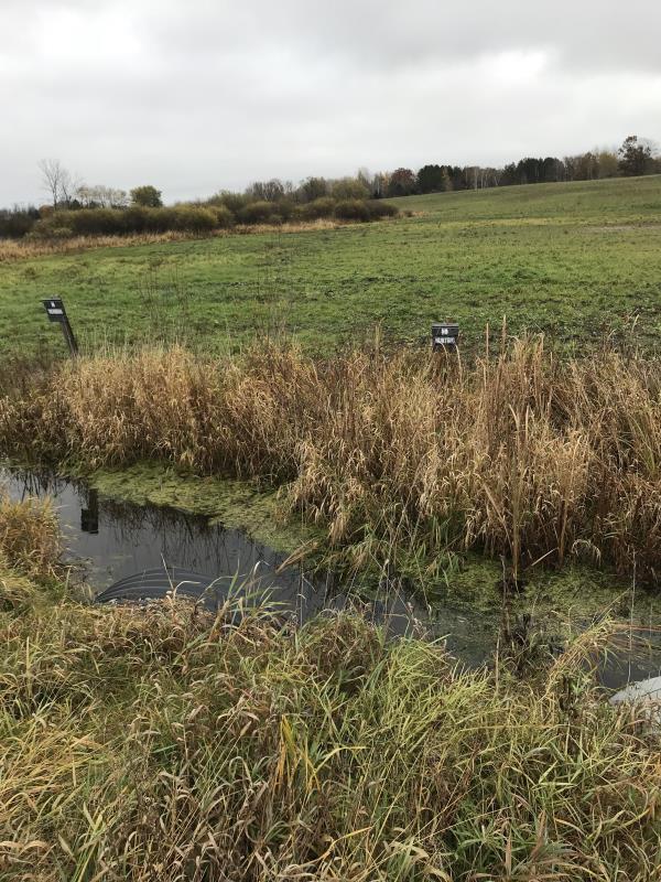
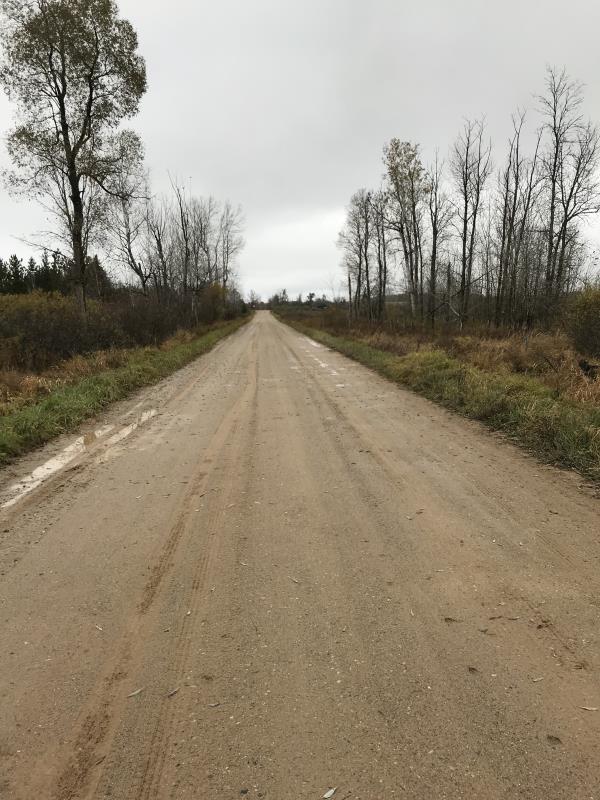
Upstream Conditions
Downstream Conditions
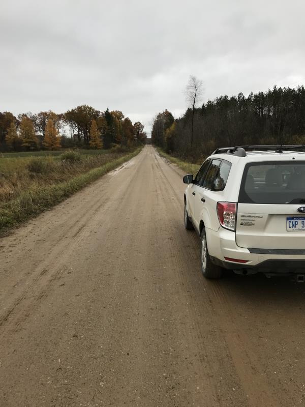
Road Approach - Left
Road Approach - Right
Crossing Information
Type of Crossing: culvert(s)
Number of Structures: 3
Structure Shape: Pipe Arch
Inlet Type: Projecting
Outlet Type: At Stream Grade
Structure Material: Metal
Structure Substrate: Sand
General Conditions: Poor
Multiple Culverts/Spans | ||||
Culvert/Span | Width | Length | Height | Material |
1 |
5.4 ft. |
41 ft. |
4 ft. |
Metal |
2 |
4.4 ft. |
38 ft. |
2.8 ft. |
Metal |
3 |
2.5 ft. |
42 ft. |
2.5 ft. |
Metal |
Structure Interior: corrugated
Structure is Rusted through
Dimensions of Structure: Length 42 ft.
, Width 5.4 ft.
, Height 4 ft.
Percentage Plugged:
Inlet: 1% to 25%
Outlet: 1% to 25%
In Pipe: 1% to 25%
Percentage Crushed:
Inlet: 0%
Outlet: 0%
In Pipe: 0%
Structure is NOT Perched
Structure Inlet
Water Depth: 10 ft.
Embedded Depth of Structure: 0.5 ft.
Water Velocity*: 0 ft./sec.
Structure Outlet
Water Depth: 1.2 ft.
Embedded Depth of Structure: 0.5 ft.
Water Velocity*: 0 ft./sec.
*Water Velocities were measured at the Surface
(with Meter)
Additional Comments
Lat: 44-02.557'; Long: 84-32.716'
Stream Information
Stream Flow: None
Scour Pool: Length 0 ft.
, Width 0 ft.
, Depth 0 ft.
Upstream Pond: Length 0 ft.
, Width 0 ft.
, Depth 0 ft.
Riffle Information
Water Depth: 0.75 ft.
Bankfull Width: 20 ft.
Wetted Width: 19 ft.
Water Velocity: 0 ft./sec.
(Measured with Meter)
Dominant Substrate: Clay
Road Information
Gravel
County Road
Road Condition: Good
Road Width at Culvert: 27 ft.
Location of Low Point: At Stream
Runoff Path: Ditch
Embankments
Upstream
Fill Depth: 2.5 ft.
Slope: 1:2
Downstream
Fill Depth: 2.5 ft.
Slope: 1:2
Approaches
Left Approach
Length: 600 ft.
Slope: Less Than 1%
Vegetation: Heavy
LS Factor: 0.05
Erosion: 0.2231 tons/year
Right Approach
Length: 1000 ft.
Slope: Less Than 1%
Vegetation: Heavy
LS Factor: 0.05
Erosion: 0.3719 tons/year
Erosion Information
Total Erosion at Crossing: 0.595 tons/year
Extent of Erosion: Minor
Notes: Crossing not an issue to river
Summary Information
Fish Passability 0.9
�