Road Stream Crossing Site CRW_092
Cedar River Watershed, Unknown #18
Shaw Rd
Sage Twp,
Gladwin County
Information collected by:
Site Location
GPS Coordinates: 44.034517
, -84.545133
T19N
R2W
Sec 15
Owned by Private
Fish Passability 0.5
Structure is NOT Perched
Total Erosion: 0.5785 tons/year
Severity: Moderate
Year Inventoried: 2018
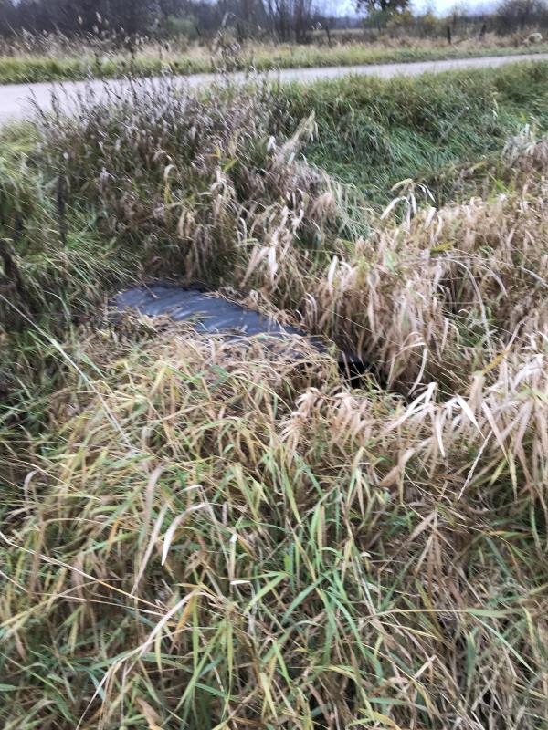
Inlet
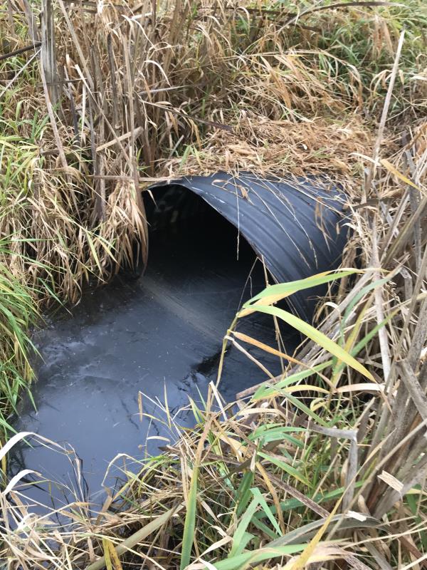
Outlet
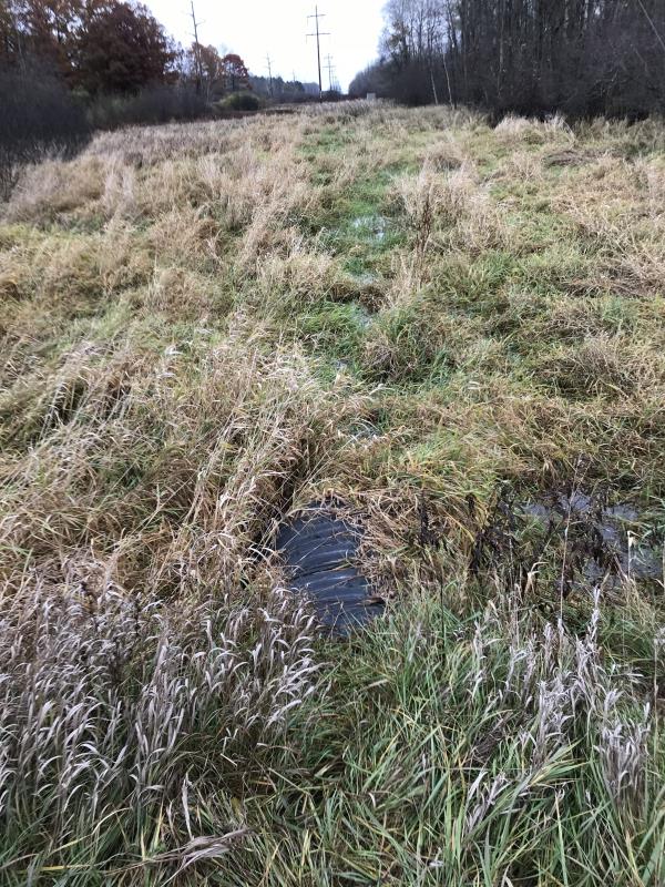
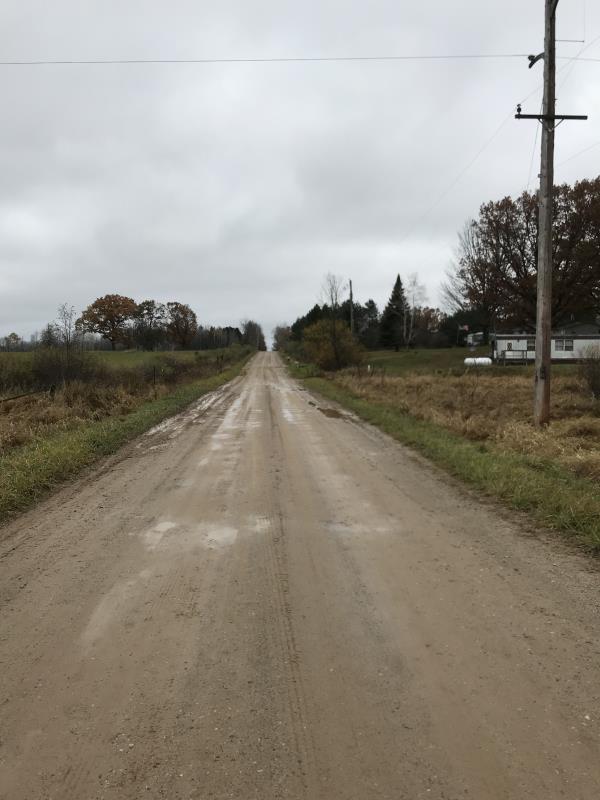
Upstream Conditions
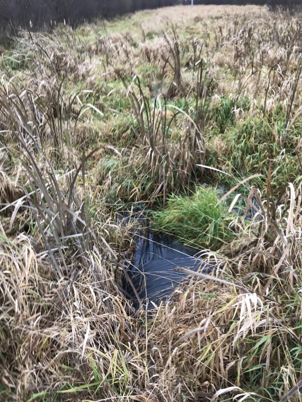
Downstream Conditions
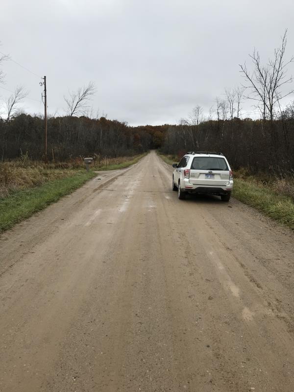
Road Approach - Left
Road Approach - Right
Crossing Information
Type of Crossing: culvert(s)
Number of Structures: 1
Structure Shape: Pipe Arch
Inlet Type: Projecting
Outlet Type: At Stream Grade
Structure Material: Metal
Structure Substrate: None
General Conditions: New
Structure Interior: corrugated
Dimensions of Structure: Length 46 ft.
, Width 4 ft.
, Height 3 ft.
Percentage Plugged:
Inlet: 0%
Outlet: 0%
In Pipe: 0%
Percentage Crushed:
Inlet: 0%
Outlet: 0%
In Pipe: 0%
Structure is NOT Perched
Water Depth: 0 ft.
Embedded Depth of Structure: 0 ft.
Water Velocity*: 0 ft./sec.
Water Depth: 0 ft.
Embedded Depth of Structure: 0 ft.
Water Velocity*: 0 ft./sec.
*Water Velocities were measured at the Surface
(with Meter)
Additional Comments
Lat: 44-02.071'; Long: 84-32.708'
Stream Information
Stream Flow: None
Scour Pool: Length 0 ft.
, Width 0 ft.
, Depth 0 ft.
Upstream Pond: Length 0 ft.
, Width 0 ft.
, Depth 0 ft.
Riffle Information
Water Depth: 0 ft.
Bankfull Width: 0 ft.
Wetted Width: 0 ft.
Water Velocity: 0 ft./sec.
(Measured with Meter)
Dominant Substrate: Clay
Road Information
Gravel
County Road
Road Condition: Good
Road Width at Culvert: 28 ft.
Location of Low Point: At Stream
Runoff Path: Ditch
Embankments
Upstream
Fill Depth: 1.7 ft.
Slope: 1:2
Downstream
Fill Depth: 1.7 ft.
Slope: 1:2
Approaches
Left Approach
Length: 900 ft.
Slope: Less Than 1%
Vegetation: Heavy
LS Factor: 0.05
Erosion: 0.3471 tons/year
Right Approach
Length: 600 ft.
Slope: Less Than 1%
Vegetation: Heavy
LS Factor: 0.05
Erosion: 0.2314 tons/year
Erosion Information
Total Erosion at Crossing: 0.5785 tons/year
Extent of Erosion: Minor
Notes: No connection to Cedar not an issue
Summary Information
Fish Passability 0.5
�