Road Stream Crossing Site CRW_104
Cedar River Watershed, Bendle Creek (drain)
Pratt Lake Rd
Sage Twp,
Gladwin County
Information collected by:
Site Location
GPS Coordinates: 44.008883
, -84.49385
T19N
R2W
Sec 24
Owned by Private
Fish Passability 0
Perch Height: 0.4 ft.
Total Erosion: 0.0752 tons/year
Severity: Severe
Year Inventoried: 2018
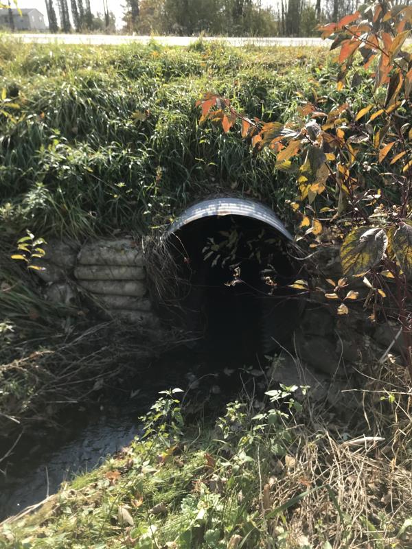
Inlet
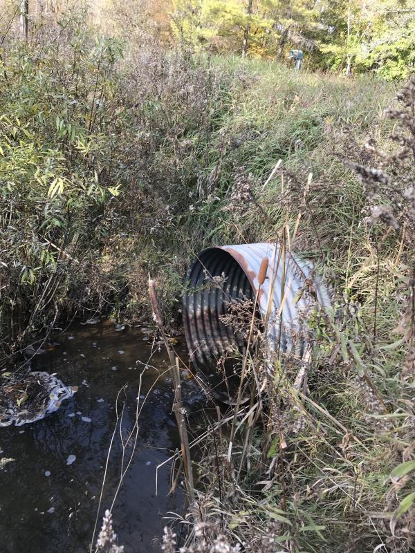
Outlet
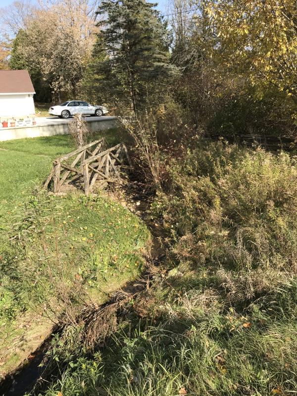
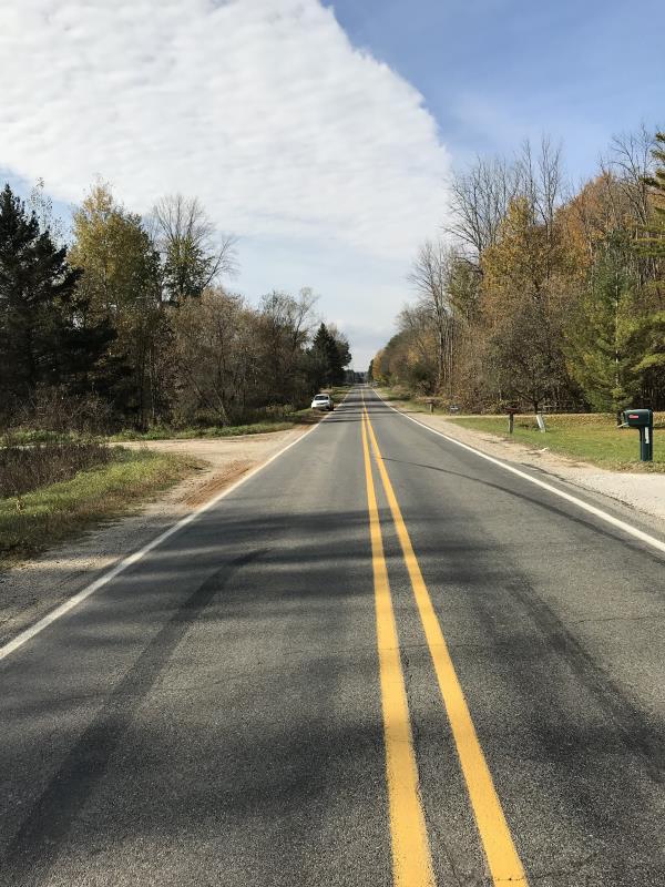
Upstream Conditions
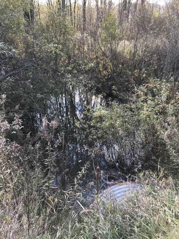
Downstream Conditions
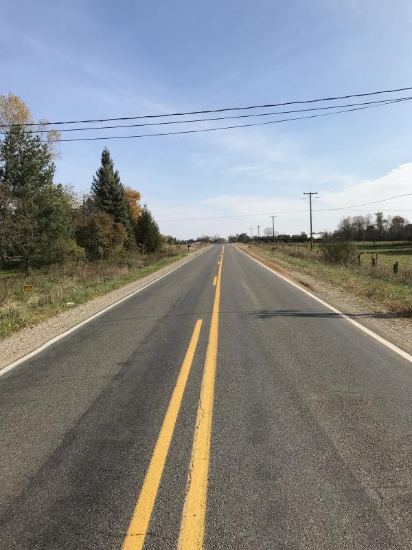
Road Approach - Left
Road Approach - Right
Crossing Information
Type of Crossing: culvert(s)
Number of Structures: 1
Structure Shape: Round
Inlet Type: Projecting
Outlet Type: Freefall into Pool
Structure Material: Metal
Structure Substrate: None
General Conditions: Fair
Structure Interior: corrugated
Dimensions of Structure: Length 50 ft.
, Width 3.5 ft.
, Height 3.5 ft.
Percentage Plugged:
Inlet: 0%
Outlet: 0%
In Pipe: 0%
Percentage Crushed:
Inlet: 0%
Outlet: 0%
In Pipe: 0%
Perch Height: 0.4 ft.
Structure Inlet
Water Depth: 0.2 ft.
Embedded Depth of Structure: 0 ft.
Water Velocity*: 0.1 ft./sec.
Structure Outlet
Water Depth: 0.2 ft.
Embedded Depth of Structure: 0 ft.
Water Velocity*: 0.1 ft./sec.
*Water Velocities were measured at the Surface
(with Meter)
Additional Comments
Lat: 44-00.533'; Long: 84-29.631
Stream Information
Stream Flow: Less than 1/2 Bankfull
Scour Pool: Length 25 ft.
, Width 15 ft.
, Depth 2 ft.
Upstream Pond: Length 0 ft.
, Width 0 ft.
, Depth 0 ft.
Riffle Information
Water Depth: 0.2 ft.
Bankfull Width: 6 ft.
Wetted Width: 1.7 ft.
Water Velocity: 0.4 ft./sec.
(Measured with Meter)
Dominant Substrate: Clay
Road Information
Paved
County Road
Road Condition: Good
Road Width at Culvert: 32 ft.
Location of Low Point: At Stream
Runoff Path: Ditch
Embankments
Upstream
Fill Depth: 2.8 ft.
Slope: 1:1.5
Downstream
Fill Depth: 3.25 ft.
Slope: 1:1.5
Approaches
Left Approach
Length: 400 ft.
Slope: Less Than 1%
Vegetation: Heavy
LS Factor: 0.05
Erosion: 0.0212 tons/year
Right Approach
Length: 700 ft.
Slope: Less Than 1%
Vegetation: Heavy
LS Factor: 0.05
Erosion: 0.037 tons/year
Erosion Information
Total Erosion at Crossing: 0.0752 tons/year
Extent of Erosion: Minor
Notes: Small are need attention, otherwise erosion is well controlled
Location of Erosion | Erosion Dimensions | Eroded Material | Material Eroded | Total Erosion | ||
facing downstream | Length | Width | Depth | Reaching Stream? | (tons/year) | |
Right Approach |
20 ft. |
1.5 ft. |
1 ft. |
yes |
Silt |
0.017 |
Summary Information
Fish Passability 0
A future visit to this site is recommended. Need to fix small runoff area to river, culvert is perched, no fish passage. However this is a minor site
�