Road Stream Crossing Site BTL002
Maple River Watershed, Cold Creek
Van Road
Petoskey,
Emmet County
Information collected by:
Site Location
GPS Coordinates: 45.593829
, -84.849026
T37N
R4W
Sec 18
Owned by Private
Total Erosion: 2.1329 tons/year
Severity: Moderate
Year Inventoried: 2018
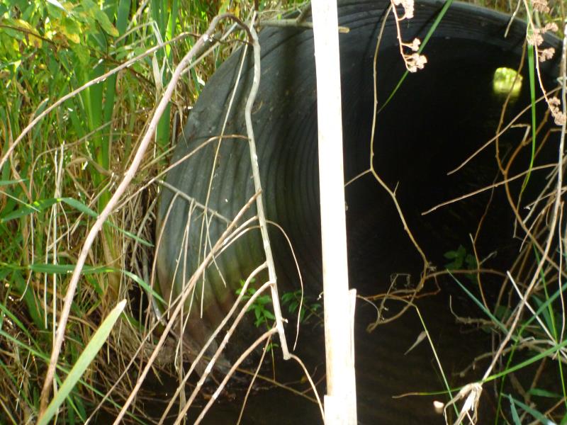
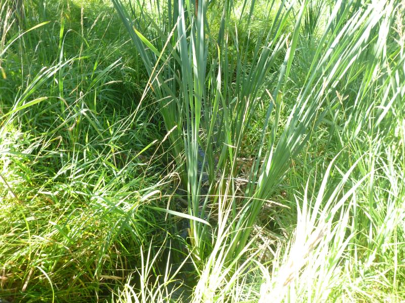
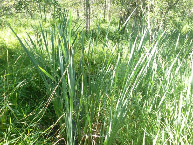
Inlet
Inlet
Inlet
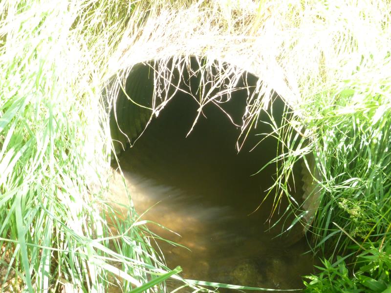
Outlet
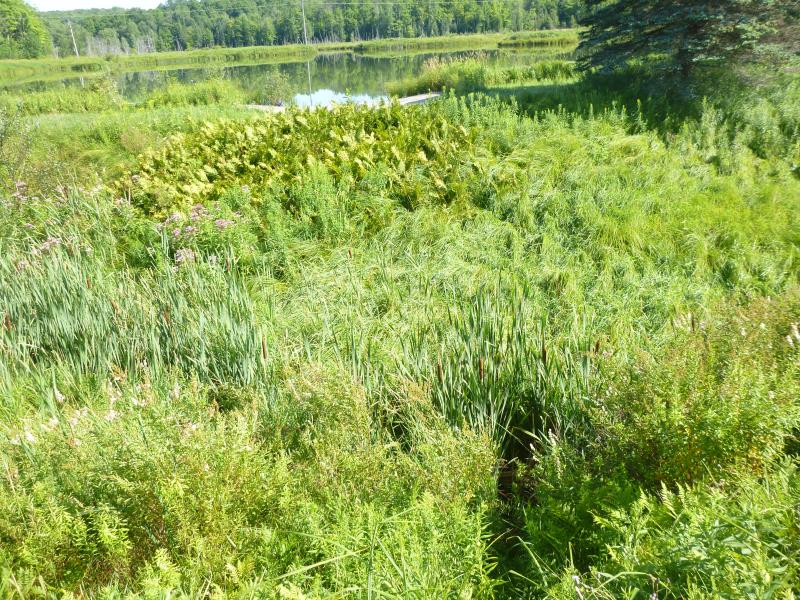
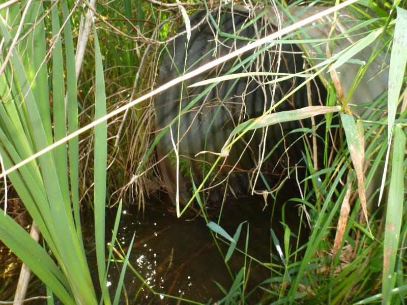
Upstream Conditions
Downstream Conditions
Downstream Conditions
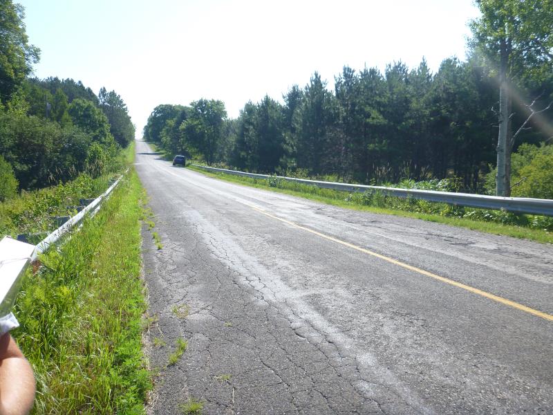
Road Approach - Left
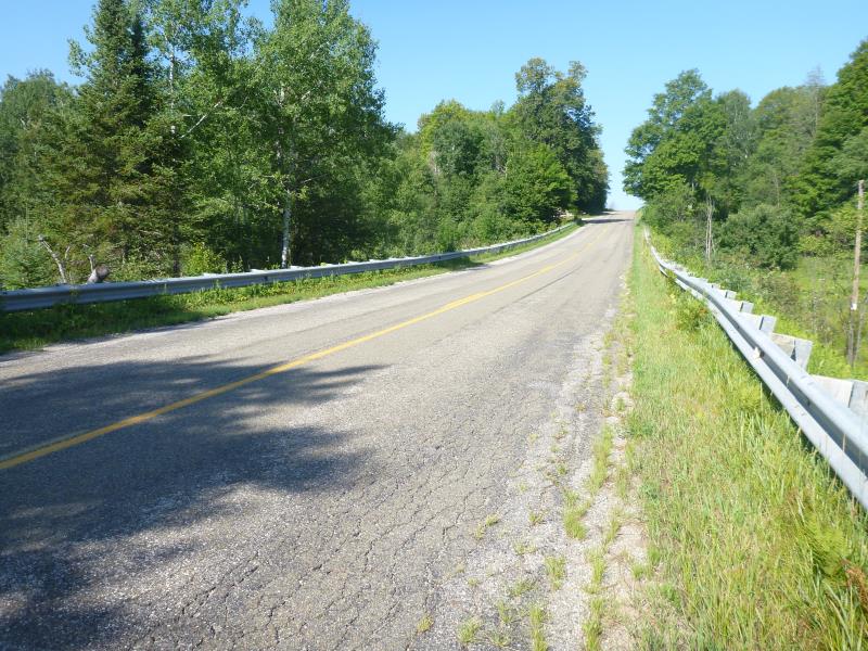
Road Approach - Right
Crossing Information
Type of Crossing: culvert(s)
Number of Structures: 1
Structure Shape: Round
Inlet Type: Projecting
Outlet Type: At Stream Grade
Structure Material: Metal
Structure Substrate: Sand
General Conditions: Good
Structure Interior: corrugated
Dimensions of Structure: Length 60 ft.
, Width 3 ft.
, Height 3 ft.
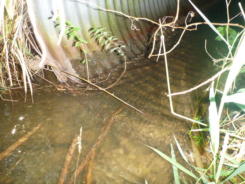
Structure Inlet
Water Depth: 0.4 ft.
Embedded Depth of Structure: 0 ft.
Water Velocity*: 0.8231 ft./sec.
Structure Outlet
Water Depth: 0.8 ft.
Embedded Depth of Structure: 0 ft.
Water Velocity*: 0.4486 ft./sec.
*Water Velocities were measured 0.3 ft. below Surface
(with Meter)
Additional Comments
Dam directly upstream, inlet sits off bottom few inches
Stream Information
Stream Flow: Less than Bankfull
Dominant Substrate: Organics
Road Information
Paved
County Road
Road Condition: Fair
Road Width at Culvert: 22.5 ft.
Location of Low Point: At Stream
Runoff Path: Ditch
Embankments
Upstream
Fill Depth: 12 ft.
Slope: 1:1
Downstream
Fill Depth: 15 ft.
Slope: 1:1
Approaches
Left Approach
Length: 1000 ft.
Slope: 6% to 10%
Vegetation: Heavy
LS Factor: 2.05
Erosion: 1.5248 tons/year
Right Approach
Length: 500 ft.
Slope: 6% to 10%
Vegetation: Heavy
LS Factor: 1.635
Erosion: 0.6081 tons/year
Erosion Information
Total Erosion at Crossing: 2.1329 tons/year
Extent of Erosion: Moderate
Summary Information
Erosion is an area of concern for this site.
These non-native species were observerd at this site: Wild parsnip, reed canary grass
�