Road Stream Crossing Site BTL003
Maple River Watershed, Cold Creek
Ely Road
McKinley Twp,
Emmet County
Information collected by:
Site Location
GPS Coordinates: 45.5795
, -84.8486
T37N
R4W
Sec 19
Owned by Private
State
State
Perch Height: 0.15 ft.
Total Erosion: 0.9045 tons/year
Severity: Minor
Year Inventoried: 2018
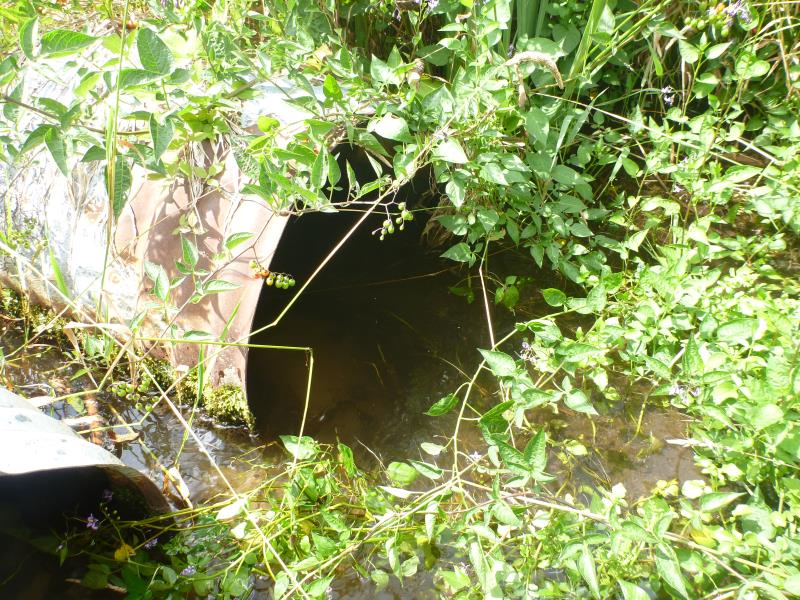
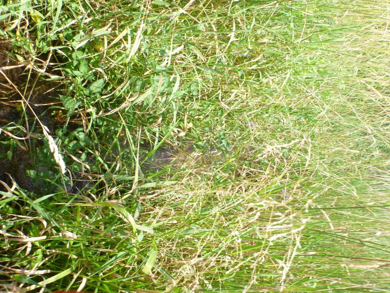
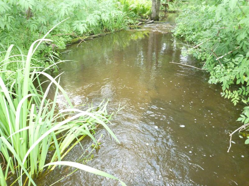
Inlet
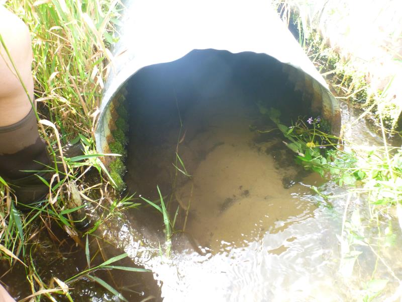
Inlet
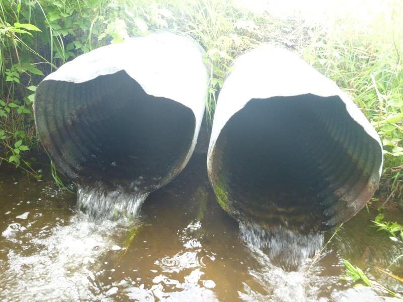
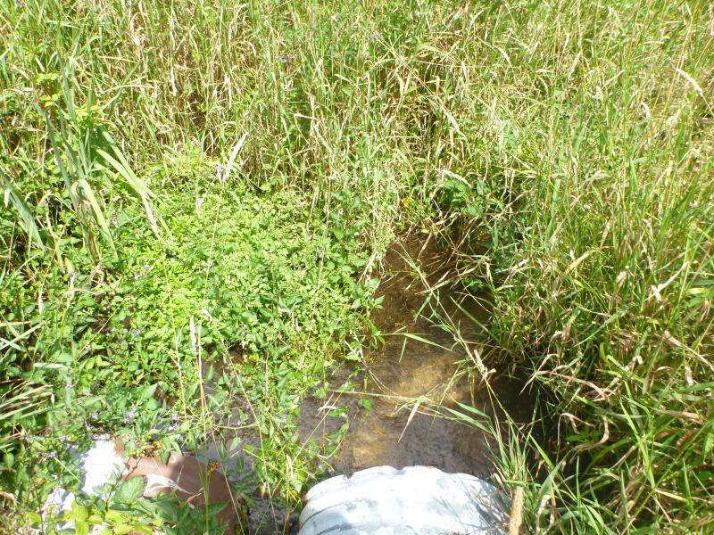
Outlet
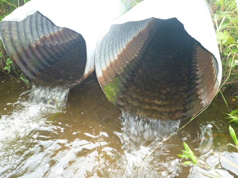
Outlet
Upstream Conditions
Upstream Conditions
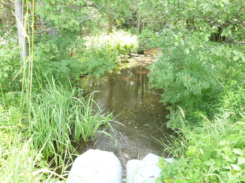
Downstream Conditions
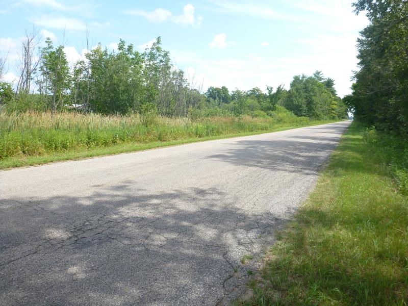
Road Approach - Left
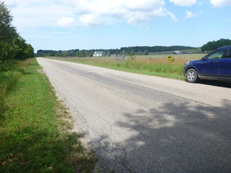
Road Approach - Right
Other
Crossing Information
Type of Crossing: culvert(s)
Number of Structures: 2
Structure Shape: Round
Inlet Type: Projecting
Outlet Type: Freefall into Pool
Structure Material: Metal
Structure Substrate: Sand
General Conditions: Fair
Multiple Culverts/Spans | ||||
Culvert/Span | Width | Length | Height | Material |
1 |
2 ft. |
45 ft. |
2 ft. |
Metal |
2 |
2 ft. |
45 ft. |
2 ft. |
Metal |
Structure Interior: corrugated
Dimensions of Structure: Length 45 ft.
, Width 2 ft.
, Height 2 ft.
Percentage Crushed:
Inlet: 1% to 25%
Perch Height: 0.15 ft.
Structure Inlet
Water Depth: 0.5 ft.
Embedded Depth of Structure: 0.2 ft.
Water Velocity*: 0.0161 ft./sec.
Structure Outlet
Water Depth: 0.2 ft.
Embedded Depth of Structure: 0 ft.
Water Velocity*: 1.8204 ft./sec.
*Water Velocities were measured 0.2 ft. below Surface
(with Meter)
Stream Information
Stream Flow: Less than Bankfull
Scour Pool: Length 22 ft.
, Width 12 ft.
, Depth 15 ft.
Road Information
Paved
County Road
Road Condition: Good
Road Width at Culvert: 24 ft.
Location of Low Point: At Stream
Runoff Path: Ditch
Embankments
Upstream
Fill Depth: 1 ft.
Slope: More than 1:2
Downstream
Fill Depth: 1 ft.
Slope: More than 1:2
Approaches
Left Approach
Length: 1000 ft.
Slope: 1% to 5%
Vegetation: Heavy
LS Factor: 0.57
Erosion: 0.4522 tons/year
Right Approach
Length: 1000 ft.
Slope: 1% to 5%
Vegetation: Heavy
LS Factor: 0.57
Erosion: 0.4522 tons/year
Erosion Information
Total Erosion at Crossing: 0.9045 tons/year
Summary Information
Fish Passage is an area of concern for this site.
The culverts are perched and so shallow inside that a fish would likely have trouble traversing it.
These non-native species were observerd at this site: Reed canary grass
�