Road Stream Crossing Site BTL004
Maple River Watershed, West Branch Maple River
Robinson Road
Pleasantview Twp,
Emmet County
Information collected by:
Site Location
GPS Coordinates: 45.5509
, -84.9058
T36N
R5W
Sec 3
Owned by Private
State
State
Structure is NOT Perched
Total Erosion: 0.9421 tons/year
Severity: Minor
Year Inventoried: 2018
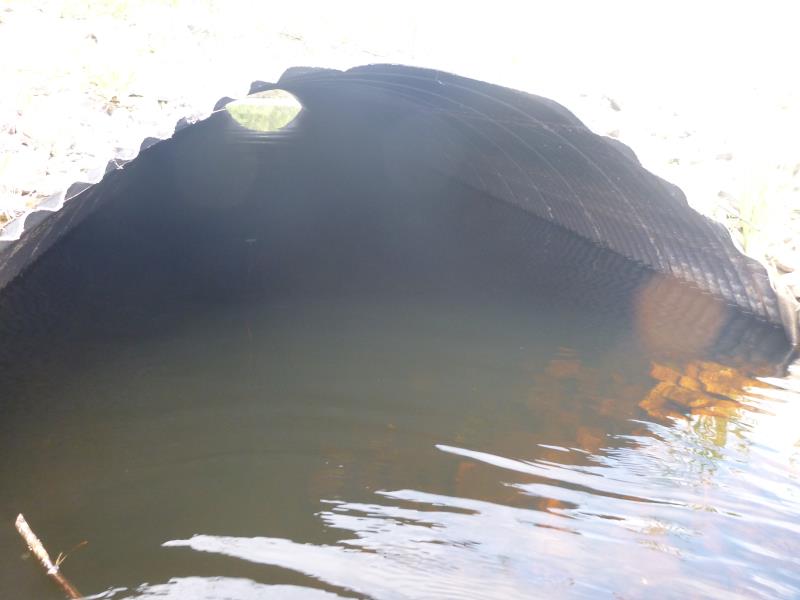
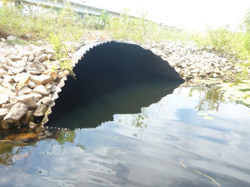
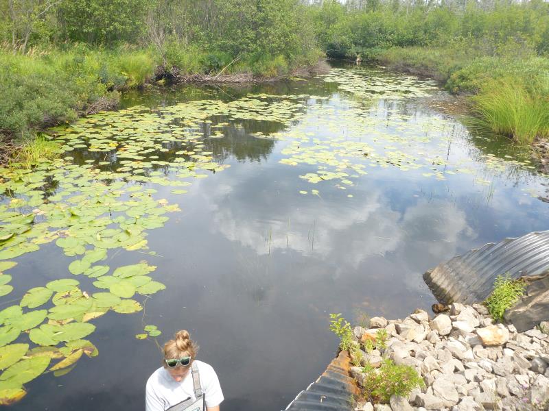
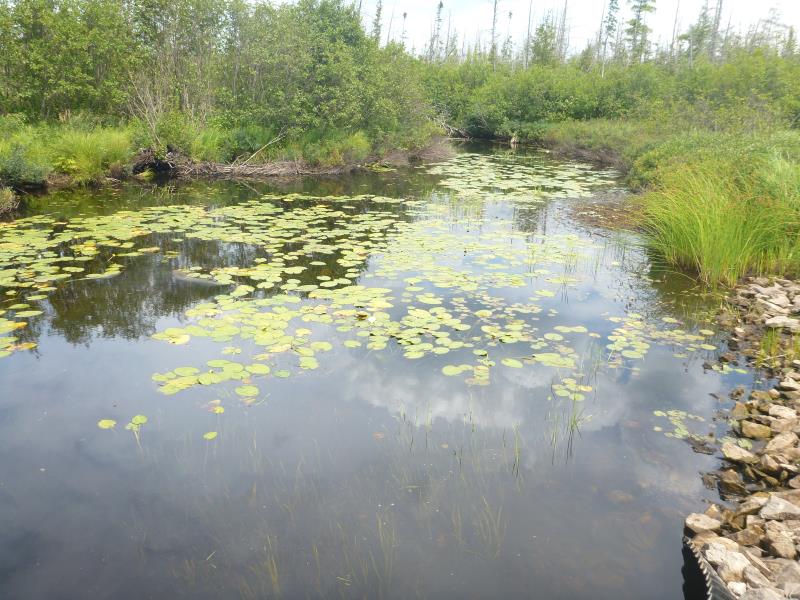
Inlet
Inlet
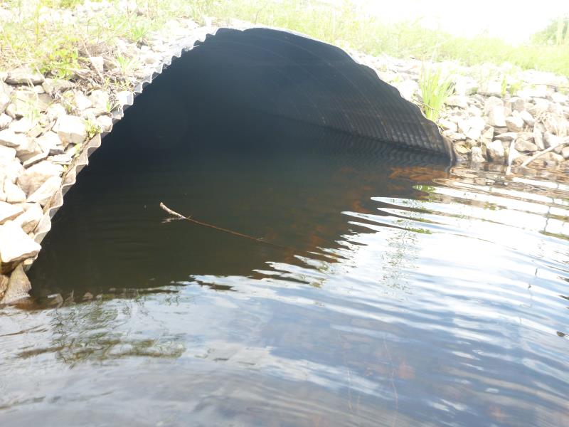
Outlet
Outlet
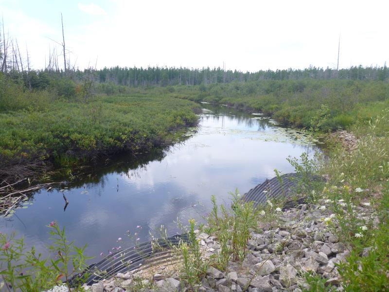
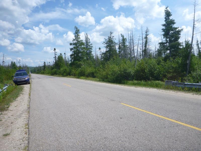
Upstream Conditions
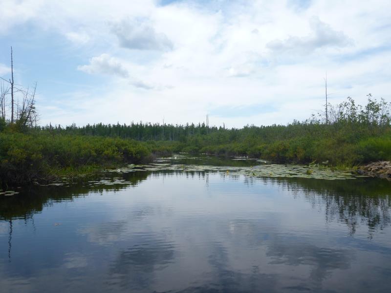
Upstream Conditions
Downstream Conditions
Downstream Conditions
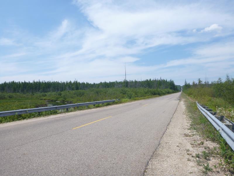
Road Approach - Left
Road Approach - Right
Other
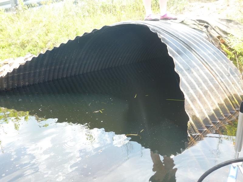
Crossing Information
Type of Crossing: culvert(s)
Number of Structures: 2
Structure Shape: Ellipse
Inlet Type: Mitered
Outlet Type: At Stream Grade
Structure Material: Metal
Structure Substrate: Rock
General Conditions: Good
Multiple Culverts/Spans | ||||
Culvert/Span | Width | Length | Height | Material |
1 |
8 ft. |
80 ft. |
6 ft. |
Metal |
2 |
8 ft. |
80 ft. |
6 ft. |
Metal |
Structure Interior: corrugated
Dimensions of Structure: Length 80 ft.
, Width 8 ft.
, Height 6 ft.
Percentage Crushed:
In Pipe: 1% to 25%
Structure is NOT Perched
Structure Inlet
Water Depth: 4.2 ft.
Embedded Depth of Structure: 1 ft.
Water Velocity*: 0.1715 ft./sec.
Structure Outlet
Water Depth: 4 ft.
Embedded Depth of Structure: 1.5 ft.
Water Velocity*: 0.0629 ft./sec.
*Water Velocities were measured 2 ft. below Surface
(with Meter)
Stream Information
Stream Flow: Less than Bankfull
Road Information
Paved
County Road
Road Condition: Fair
Road Width at Culvert: 25 ft.
Location of Low Point: At Stream
Runoff Path: Ditch
Embankments
Upstream
Fill Depth: 1 ft.
Slope: 1:2
Downstream
Fill Depth: 1 ft.
Slope: 1:2
Approaches
Left Approach
Length: 1000 ft.
Slope: 1% to 5%
Vegetation: Heavy
LS Factor: 0.57
Erosion: 0.4711 tons/year
Right Approach
Length: 1000 ft.
Slope: 1% to 5%
Vegetation: Heavy
LS Factor: 0.57
Erosion: 0.4711 tons/year
Erosion Information
Total Erosion at Crossing: 0.9421 tons/year
Summary Information
These non-native species were observerd at this site: Buckthorn, purple loosestrife, white sweet clover
�