Road Stream Crossing Site LMN005
Little Traverse Bay Watershed, Five Mile Creek
Lower Shore Drive
West Traverse Twp,
Emmet County
Information collected by:
Site Location
GPS Coordinates: 45.465512
, -85.07491
T36N
R6W
Sec 32
Owned by Private
Perch Height: 0.1 ft.
Total Erosion: 1.3244 tons/year
Severity: Moderate
Year Inventoried: 2018
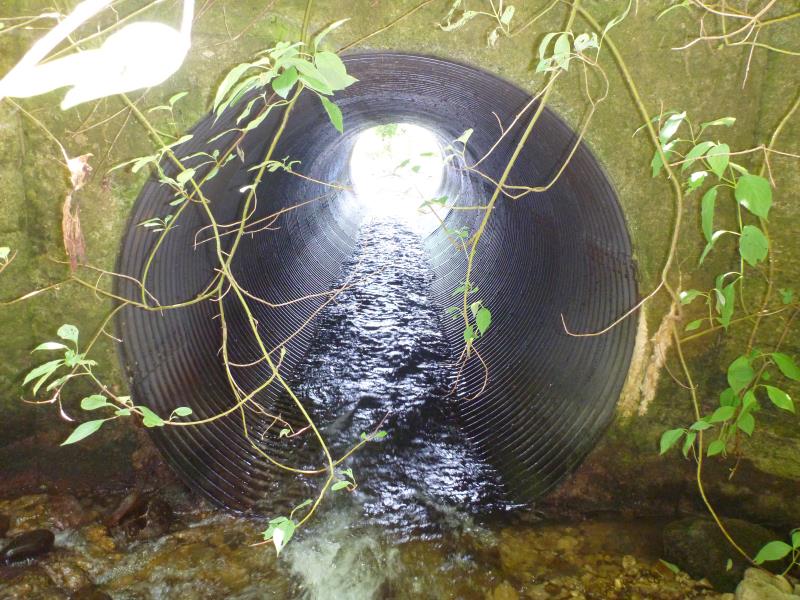
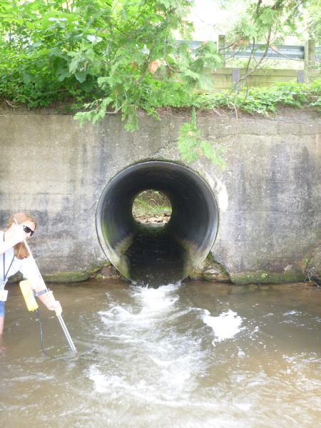
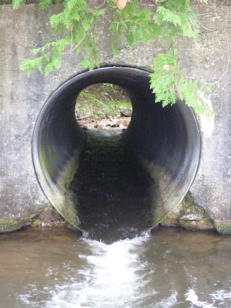
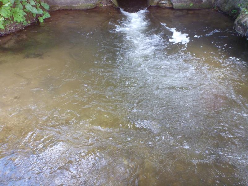
Inlet
Inlet
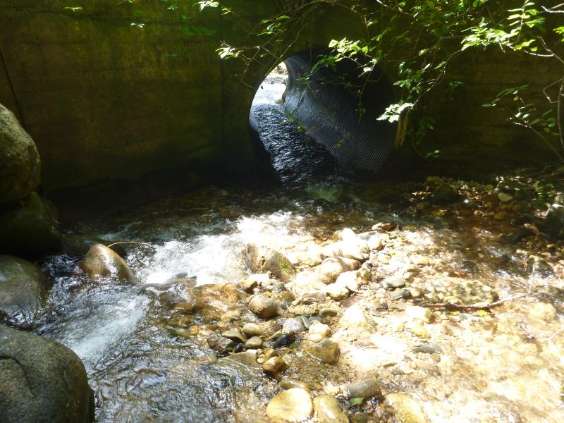
Outlet
Outlet
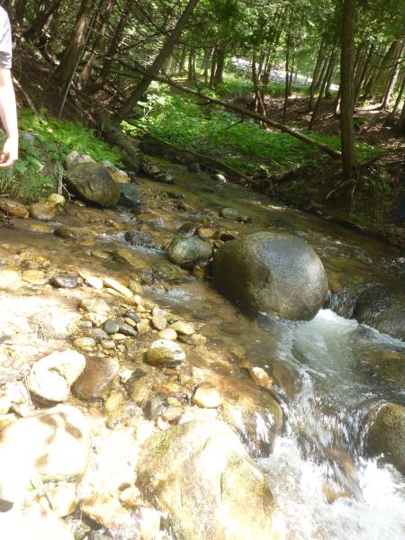
Upstream Conditions
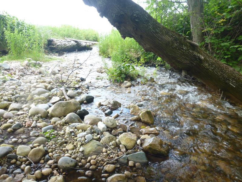
Downstream Conditions
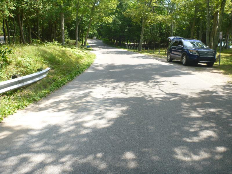
Road Approach - Left
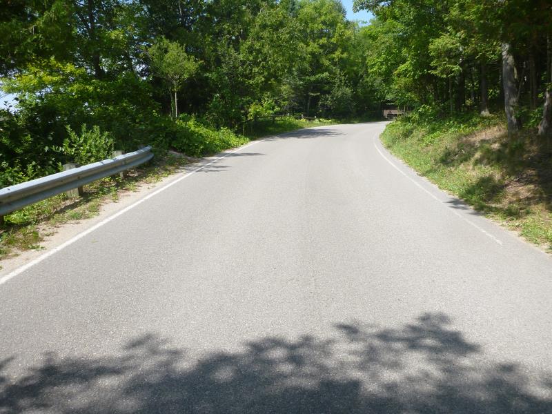
Road Approach - Right
Other
Crossing Information
Type of Crossing: culvert(s)
Number of Structures: 1
Structure Shape: Round
Inlet Type: Headwall
Outlet Type: Freefall into Pool
Structure Material: Metal
Structure Substrate: None
General Conditions: Good
Structure Interior: corrugated
Dimensions of Structure: Length 35 ft.
, Width 6 ft.
, Height 6 ft.
Perch Height: 0.1 ft.
Structure Inlet
Water Depth: 0.6 ft.
Embedded Depth of Structure: 0 ft.
Water Velocity*: 3.6678 ft./sec.
Structure Outlet
Water Depth: 0.4 ft.
Embedded Depth of Structure: 0 ft.
Water Velocity*: 5.7817 ft./sec.
*Water Velocities were measured 0.5 ft. below Surface
(with Meter)
Additional Comments
Perched slightly
Stream Information
Stream Flow: Less than Bankfull
Scour Pool: Length 18 ft.
, Width 16 ft.
, Depth 3 ft.
Dominant Substrate: Organics
Road Information
Paved
County Road
Road Condition: Good
Road Width at Culvert: 19 ft.
Location of Low Point: Other
Runoff Path: Roadway
Embankments
Upstream
Fill Depth: 5 ft.
Slope: 1:1.5
Downstream
Fill Depth: 5 ft.
Slope: 1:1.5
Approaches
Left Approach
Length: 450 ft.
Slope: 1% to 5%
Vegetation: Heavy
LS Factor: 0.49
Erosion: 0.1385 tons/year
Right Approach
Length: 200 ft.
Slope: 1% to 5%
Vegetation: Heavy
LS Factor: 0.43
Erosion: 0.054 tons/year
Erosion Information
Total Erosion at Crossing: 1.3244 tons/year
Extent of Erosion: Moderate
Notes:
Not actively being eroded but would wash sand into creek with rainfall
Location of Erosion | Erosion Dimensions | Eroded Material | Material Eroded | Total Erosion | ||
facing downstream | Length | Width | Depth | Reaching Stream? | (tons/year) | |
Left Downstream Ditch |
12 ft. |
7 ft. |
3 ft. |
yes |
Sand |
0.2772 |
Right Upstream Streambank |
19 ft. |
12 ft. |
5 ft. |
yes |
Sand |
0.7315 |
Left Upstream Ditch |
4 ft. |
9 ft. |
4 ft. |
yes |
Sand |
0.1232 |
Summary Information
Fish Passage is an area of concern for this site.
Flow is very fast in the culvert and upstream passage is likely not possible.
�