Road Stream Crossing Site LMN006
Little Traverse Bay Watershed, Five Mile Creek
M-119
West Traverse Twp,
Emmet County
Information collected by:
Site Location
GPS Coordinates: 45.4718
, -85.0654
T36N
R6W
Sec 32
Owned by Private
Structure is NOT Perched
Total Erosion: 0.7537 tons/year
Severity: Minor
Year Inventoried: 2018
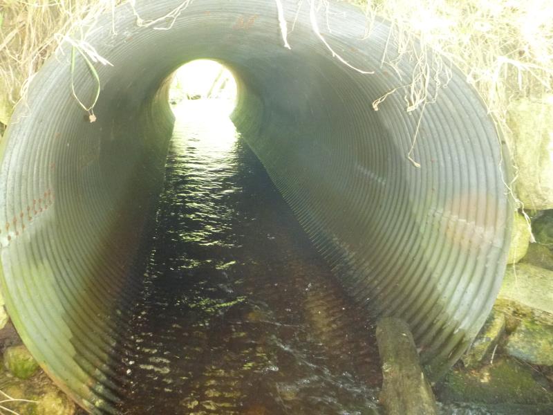
Inlet
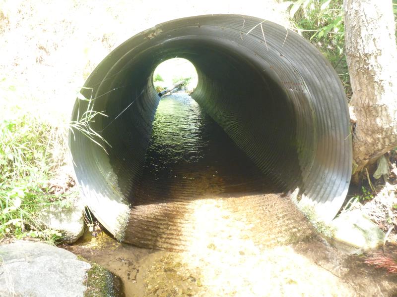
Outlet
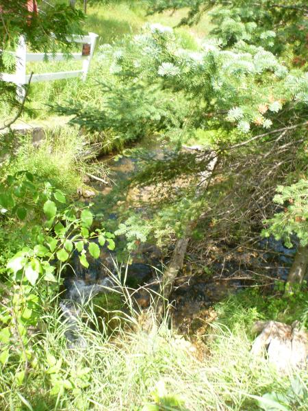
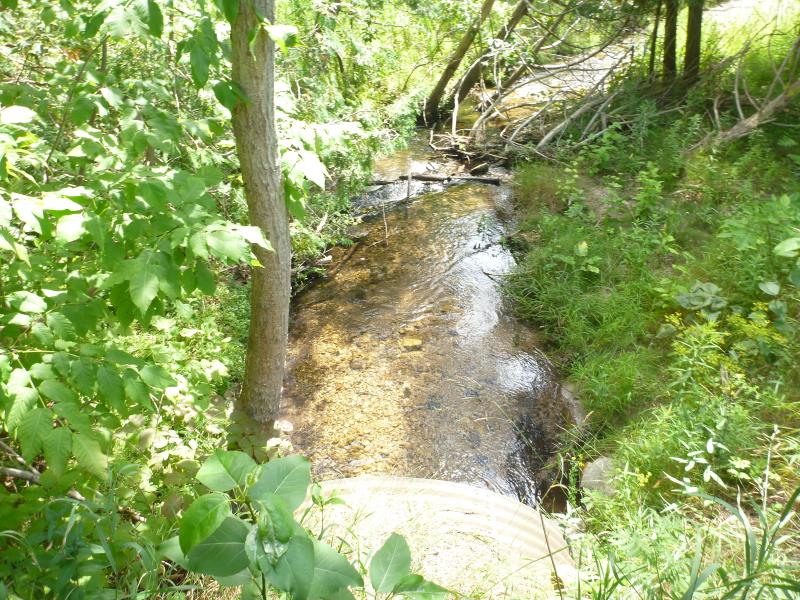
Upstream Conditions
Upstream Conditions
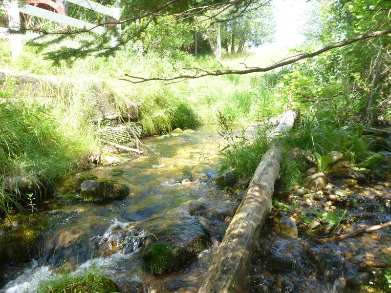
Downstream Conditions
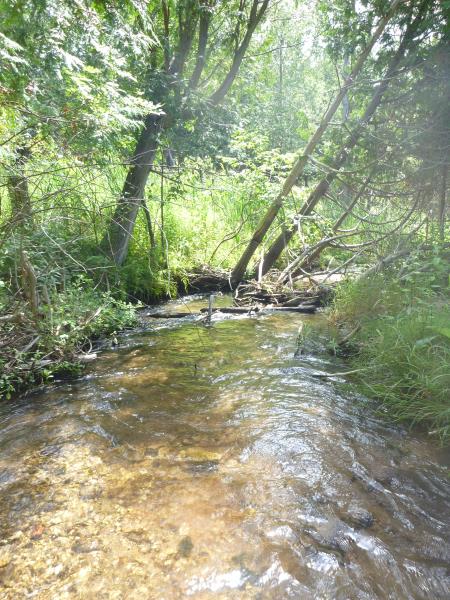
Downstream Conditions
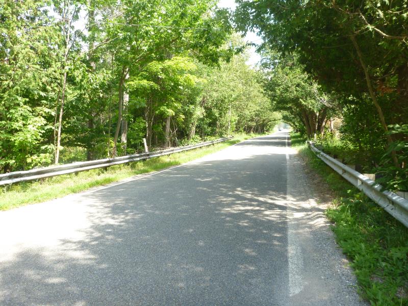
Road Approach - Left
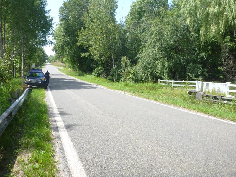
Road Approach - Right
Crossing Information
Type of Crossing: culvert(s)
Number of Structures: 1
Structure Shape: Round
Inlet Type: Projecting
Outlet Type: At Stream Grade
Structure Material: Metal
Structure Substrate: None
General Conditions: Good
Structure Interior: corrugated
Dimensions of Structure: Length 38 ft.
, Width 5.67 ft.
, Height 5.67 ft.
Structure is NOT Perched
Structure Inlet
Water Depth: 0.6 ft.
Embedded Depth of Structure: 0 ft.
Water Velocity*: 1.883 ft./sec.
Structure Outlet
Water Depth: 0.7 ft.
Embedded Depth of Structure: 0 ft.
Water Velocity*: 1.2629 ft./sec.
*Water Velocities were measured 0.3 ft. below Surface
(with Meter)
Stream Information
Stream Flow: Less than 1/2 Bankfull
Road Information
Paved
State Road
Road Condition: Good
Road Width at Culvert: 20 ft.
Location of Low Point: At Stream
Runoff Path: Ditch
Embankments
Upstream
Fill Depth: 4 ft.
Slope: 1:1
Downstream
Fill Depth: 3 ft.
Slope: 1:1
Approaches
Left Approach
Length: 1000 ft.
Slope: 1% to 5%
Vegetation: Heavy
LS Factor: 0.57
Erosion: 0.3769 tons/year
Right Approach
Length: 1000 ft.
Slope: 1% to 5%
Vegetation: Heavy
LS Factor: 0.57
Erosion: 0.3769 tons/year
Erosion Information
Total Erosion at Crossing: 0.7537 tons/year
Summary Information
�