Road Stream Crossing Site OLL001
Frontal Lake Michigan Watershed, Unknown Creek
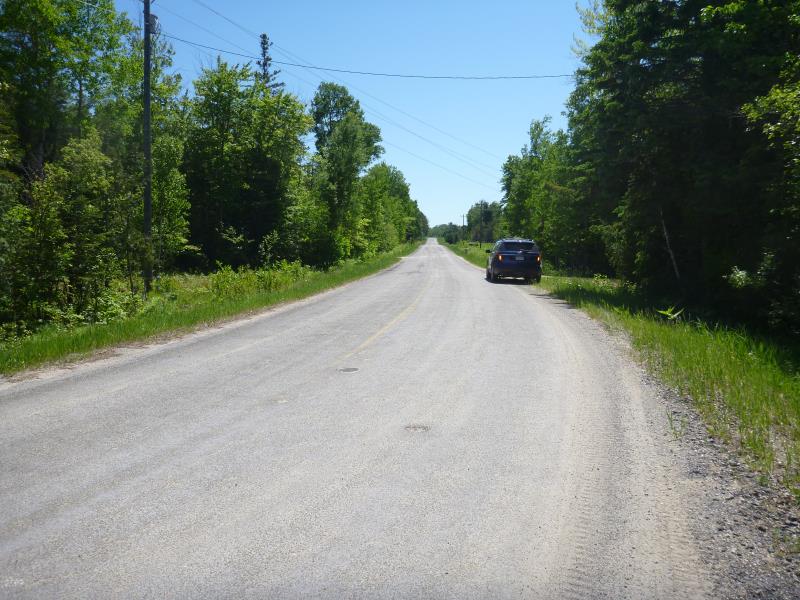
Elder Road
Bliss Twp,
Emmet County
Information collected by:
Site Location
GPS Coordinates: 45.7089
, -84.86875
T38N
R5W
Sec 12
Owned by Private
Structure is NOT Perched
Total Erosion: 0.2618 tons/year
Severity: Minor
Year Inventoried: 2018
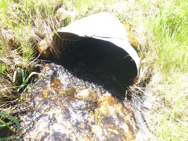
Inlet
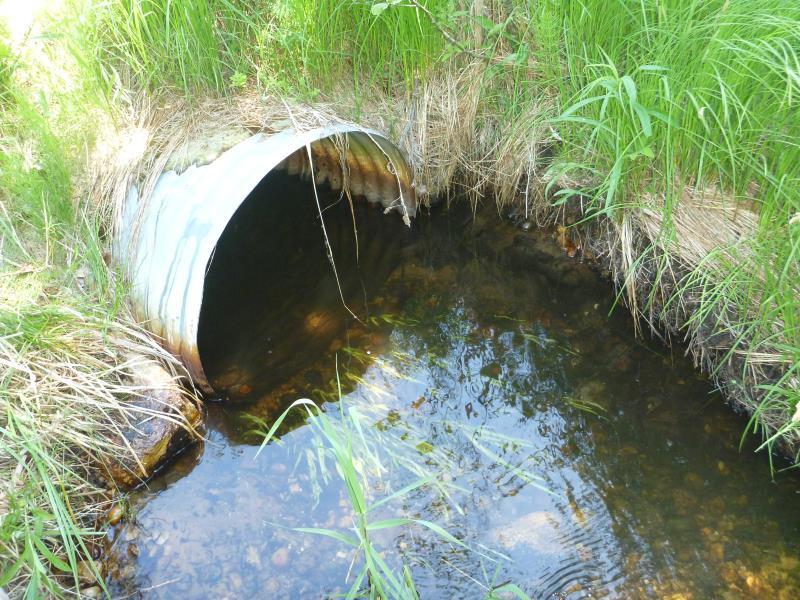
Outlet
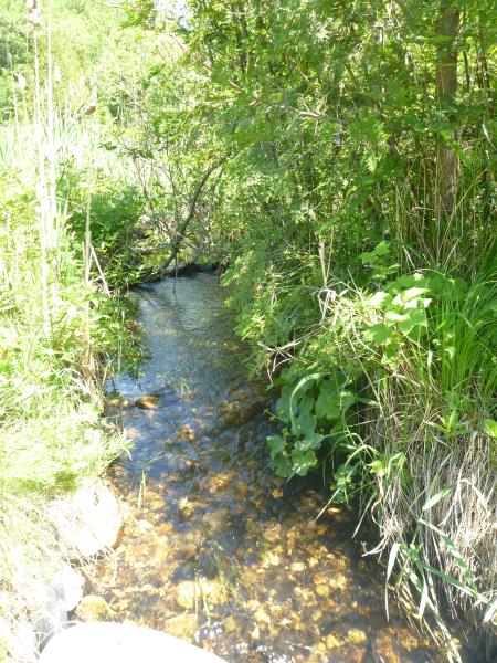
Upstream Conditions
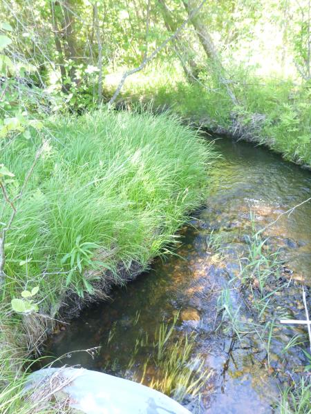
Downstream Conditions
Road Approach - Left
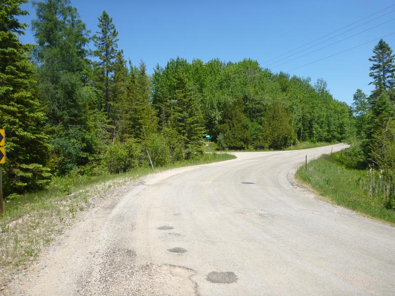
Road Approach - Right
Crossing Information
Type of Crossing: culvert(s)
Number of Structures: 1
Structure Shape: Ellipse
Inlet Type: Projecting
Outlet Type: At Stream Grade
Structure Material: Metal
Structure Substrate: None
General Conditions: Good
Structure Interior: corrugated
Dimensions of Structure: Length 61 ft.
, Width 2.8 ft.
, Height 1.9 ft.
Percentage Crushed:
In Pipe: 51% to 75%
Structure is NOT Perched
Structure Inlet
Water Depth: 0.4 ft.
Embedded Depth of Structure: 0 ft.
Water Velocity*: 2.6956 ft./sec.
Structure Outlet
Water Depth: 0.6 ft.
Embedded Depth of Structure: 0 ft.
Water Velocity*: 0.5846 ft./sec.
*Water Velocities were measured 0.2 ft. below Surface
(with Meter)
Stream Information
Stream Flow: Bankfull
Road Information
Paved
County Road
Road Condition: Fair
Road Width at Culvert: 24 ft.
Location of Low Point: At Stream
Runoff Path: Roadway
Embankments
Upstream
Fill Depth: 5 ft.
Slope: More than 1:2
Downstream
Fill Depth: 6 ft.
Slope: 1:1.5
Approaches
Left Approach
Length: 400 ft.
Slope: 1% to 5%
Vegetation: Heavy
LS Factor: 0.48
Erosion: 0.1523 tons/year
Right Approach
Length: 300 ft.
Slope: 1% to 5%
Vegetation: Heavy
LS Factor: 0.46
Erosion: 0.1095 tons/year
Erosion Information
Total Erosion at Crossing: 0.2618 tons/year
Summary Information
�