Road Stream Crossing Site WPL001
Frontal Lake Michigan Watershed, Unknown Creek
Levering Road
Center Twp,
Emmet County
Information collected by:
Site Location
GPS Coordinates: 45.6368
, -84.95093
T37N
R5W
Sec 5
Owned by Private
Structure is NOT Perched
Total Erosion: 0.777 tons/year
Severity: Minor
Year Inventoried: 2018
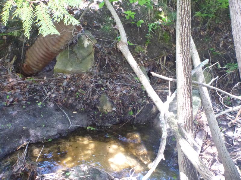
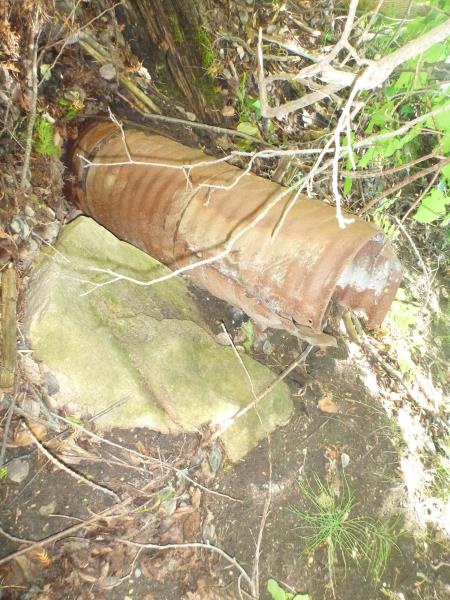
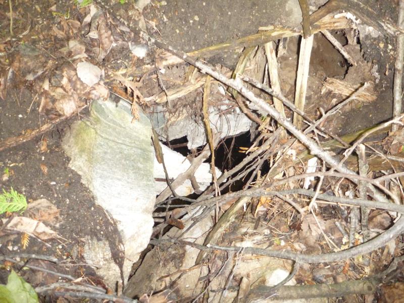
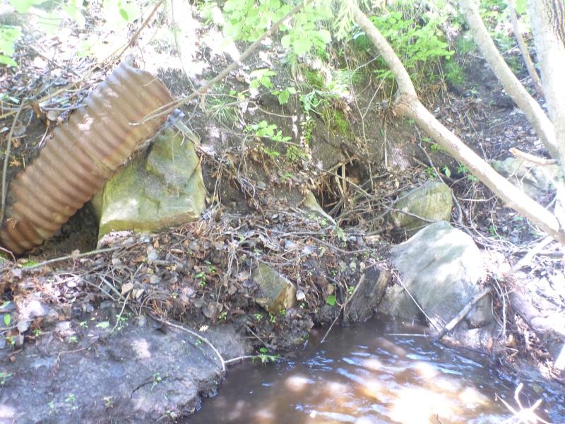
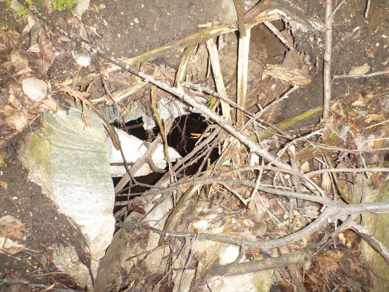
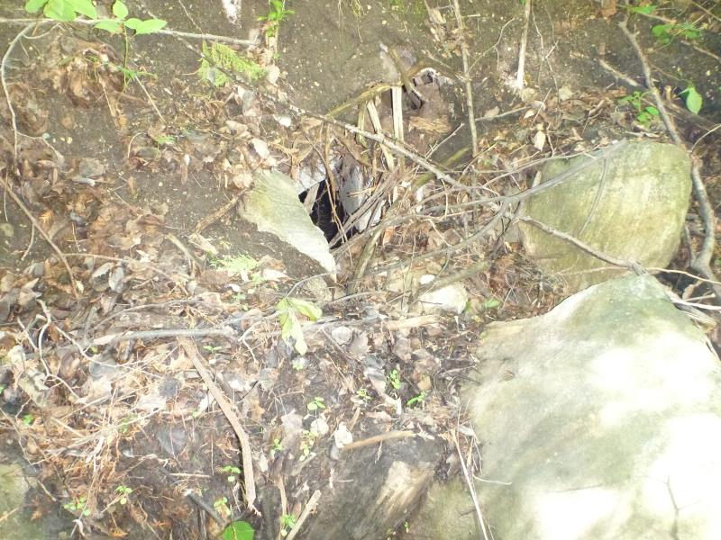
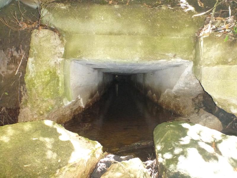
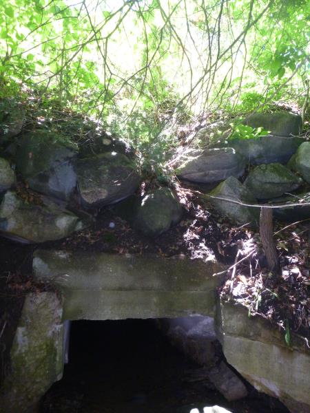
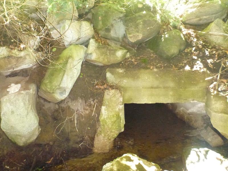
Inlet
Inlet
Inlet
Inlet
Inlet
Inlet
Inlet
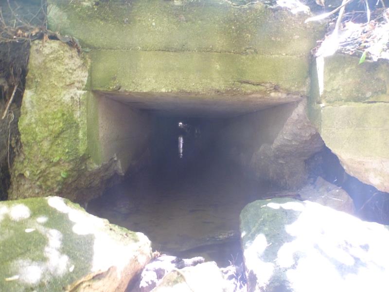
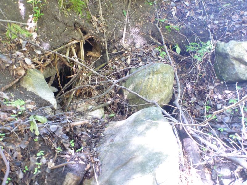
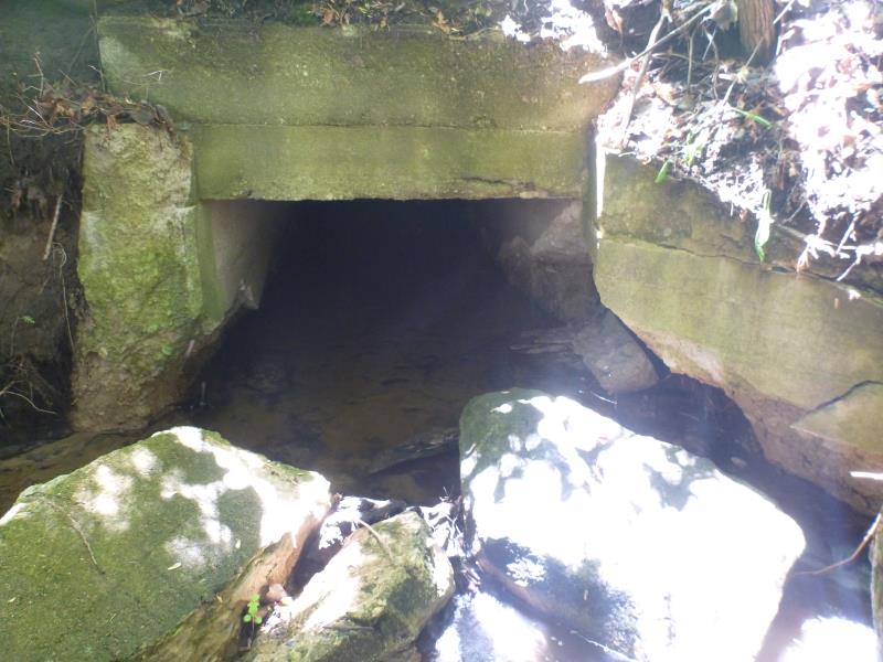
Outlet
Outlet
Outlet
Outlet
Outlet
Outlet
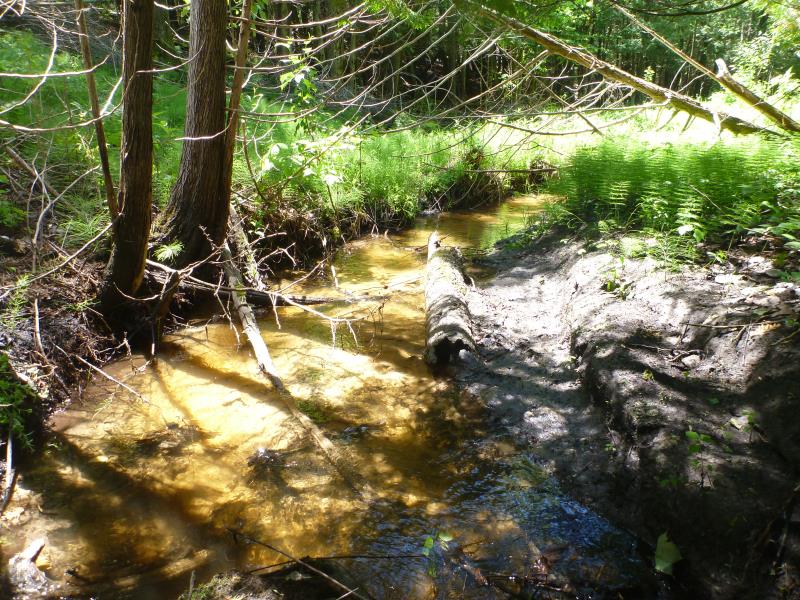
Upstream Conditions
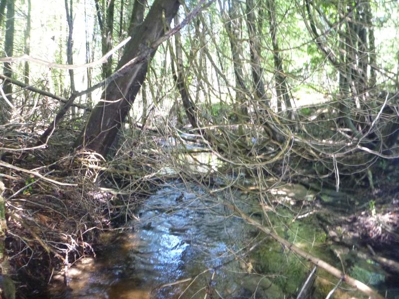
Downstream Conditions
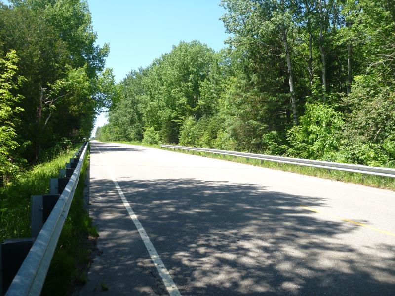
Road Approach - Left
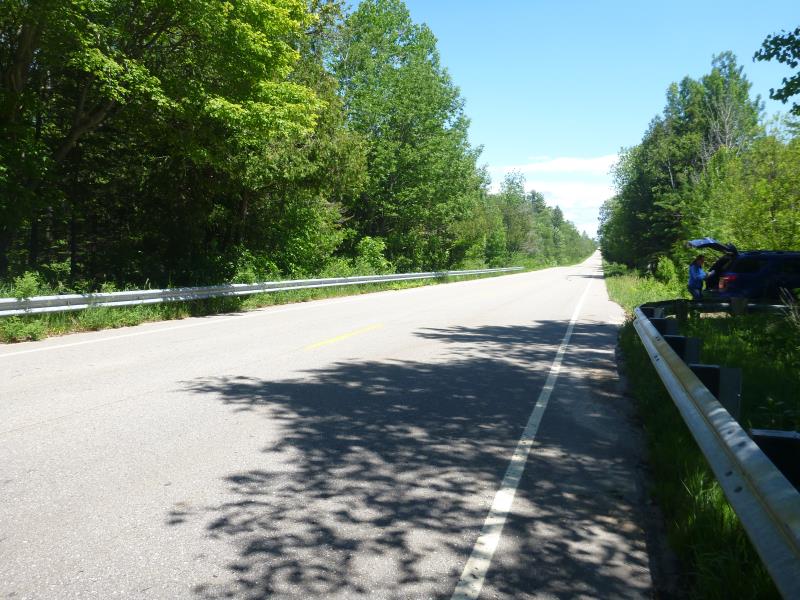
Road Approach - Right
Crossing Information
Type of Crossing: culvert(s)
Number of Structures: 1
Structure Shape: Open Bottom Square/Rectangle
Inlet Type: Wingwall 30-70 Degree
Outlet Type: Cascade over Riprap
Structure Material: Concrete
Structure Substrate: Sand
General Conditions: Poor
Structure Interior: smooth
Dimensions of Structure: Length 67 ft.
, Width 4 ft.
, Height 3 ft.
Percentage Plugged:
Inlet: 76% to 100%
Percentage Crushed:
Inlet: 76% to 100%
Structure is NOT Perched
Structure Inlet
Water Depth: 0.4 ft.
Embedded Depth of Structure: 0 ft.
Water Velocity*: 0.1383 ft./sec.
Structure Outlet
Water Depth: 0.4 ft.
Embedded Depth of Structure: 0 ft.
Water Velocity*: 0.0023 ft./sec.
*Water Velocities were measured 0.2 ft. below Surface
(with Meter)
Additional Comments
Priority Site
Stream Information
Stream Flow: Bankfull
Road Information
Paved
County Road
Road Condition: Good
Road Width at Culvert: 32 ft.
Location of Low Point: Other
Runoff Path: Ditch
Embankments
Upstream
Fill Depth: 15 ft.
Slope: Vertical
Downstream
Fill Depth: 20 ft.
Slope: Vertical
Approaches
Left Approach
Length: 350 ft.
Slope: 1% to 5%
Vegetation: Heavy
LS Factor: 0.47
Erosion: 0.174 tons/year
Right Approach
Length: 1000 ft.
Slope: 1% to 5%
Vegetation: Heavy
LS Factor: 0.57
Erosion: 0.603 tons/year
Erosion Information
Total Erosion at Crossing: 0.777 tons/year
Notes: Right approach highest point was actually 3/4 mi.
Summary Information
Fish Passage is an area of concern for this site.
Fish passage and safety are major issues.
�