Road Stream Crossing Site WPL002
Frontal Lake Michigan Watershed, Unknown Creek
Levering Road
Center Twp,
Emmet County
Information collected by:
Site Location
GPS Coordinates: 45.63687
, -84.94657
T37N
R5W
Sec 5
Owned by Private
Perch Height: 0.6 ft.
Total Erosion: 0.6092 tons/year
Severity: Minor
Year Inventoried: 2018
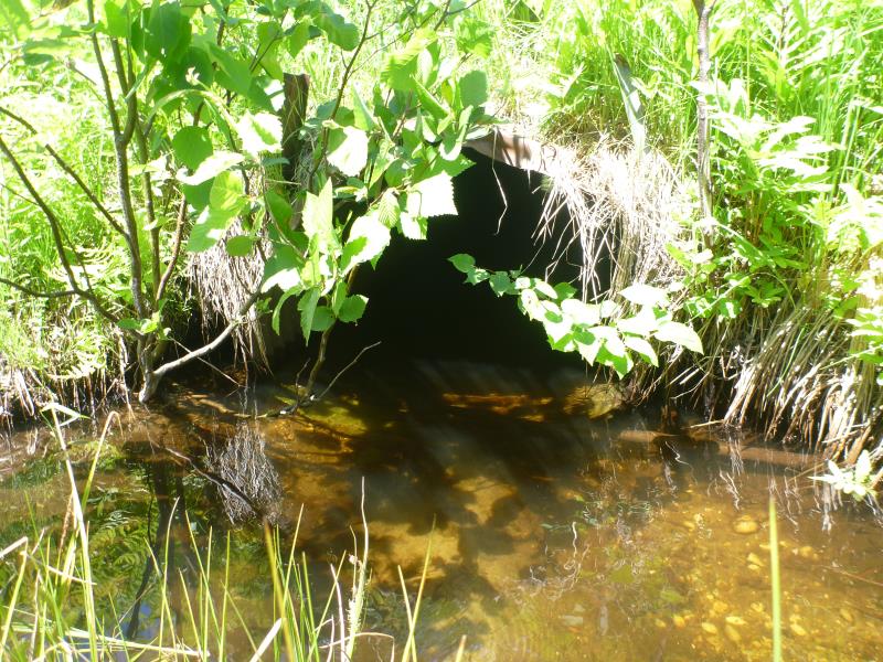
Inlet
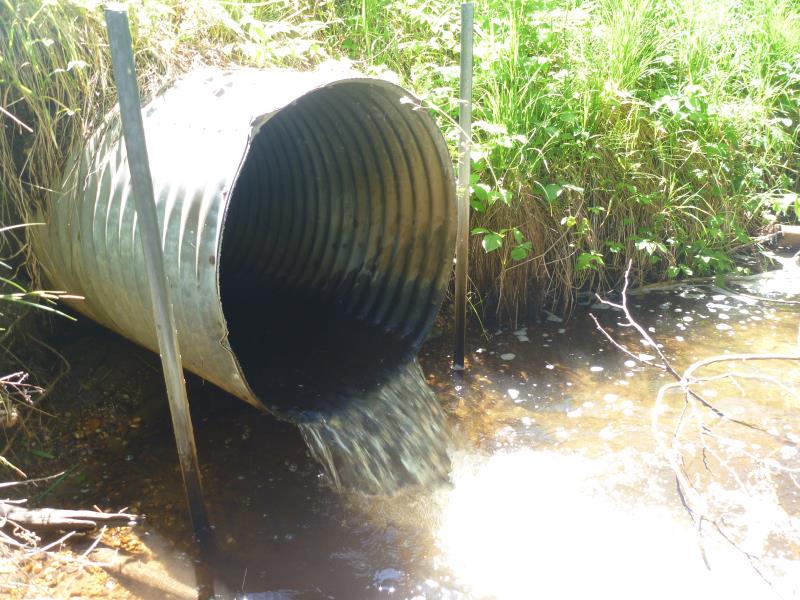
Outlet
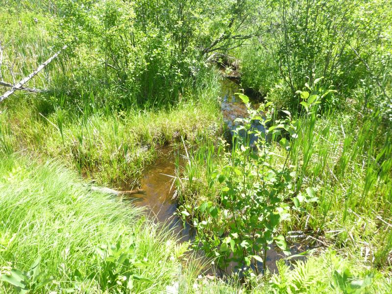
Upstream Conditions
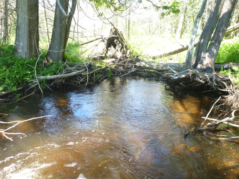
Downstream Conditions
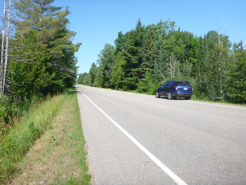
Road Approach - Left
Road Approach - Right
Crossing Information
Type of Crossing: culvert(s)
Number of Structures: 1
Structure Shape: Round
Inlet Type: Projecting
Outlet Type: Freefall into Pool
Structure Material: Metal
Structure Substrate: None
General Conditions: Good
Structure Interior: corrugated
Dimensions of Structure: Length 51 ft.
, Width 3 ft.
, Height 3 ft.
Perch Height: 0.6 ft.
Structure Inlet
Water Depth: 1.2 ft.
Embedded Depth of Structure: 0 ft.
Water Velocity*: 0.2882 ft./sec.
Structure Outlet
Water Depth: 0.3 ft.
Embedded Depth of Structure: 0 ft.
Water Velocity*: 3.3943 ft./sec.
*Water Velocities were measured 0.5 ft. below Surface
(with Meter)
Additional Comments
Perched
Stream Information
Stream Flow: Bankfull
Scour Pool: Length 19 ft.
, Width 12 ft.
, Depth 2.5 ft.
Road Information
Paved
County Road
Road Condition: Good
Road Width at Culvert: 31.5 ft.
Location of Low Point: At Stream
Runoff Path: Ditch
Embankments
Upstream
Fill Depth: 5 ft.
Slope: 1:1.5
Downstream
Fill Depth: 4 ft.
Slope: 1:1.5
Approaches
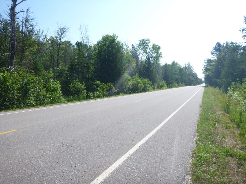
Left Approach
Length: 1000 ft.
Slope: 1% to 5%
Vegetation: Heavy
LS Factor: 0.57
Erosion: 0.5936 tons/year
Right Approach
Length: 300 ft.
Slope: Less Than 1%
Vegetation: Heavy
LS Factor: 0.05
Erosion: 0.0156 tons/year
Erosion Information
Total Erosion at Crossing: 0.6092 tons/year
Notes: Actual left approach was a half mile.
Summary Information
Fish Passage is an area of concern for this site.
The culvert is perched.
A future visit to this site is recommended. perched culvert
�