Road Stream Crossing Site LM001
Manistee River Watershed, Little Manistee River
Hawkins Rd
Ellsworth Twp,
Lake County
Information collected by:
Site Location
GPS Coordinates: 44.003042
, -85.602444
T19N
R11W
Sec 22
Owned by Private
Fish Passability 0
Perch Height: 0.1 ft.
Total Erosion: 0.1845 tons/year
Severity: Severe
Year Inventoried: 2019
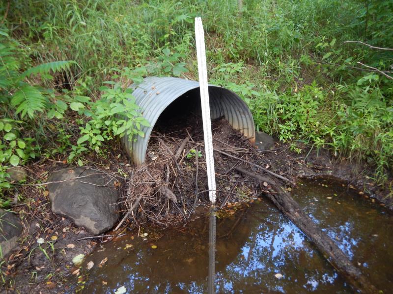
Inlet
Inlet
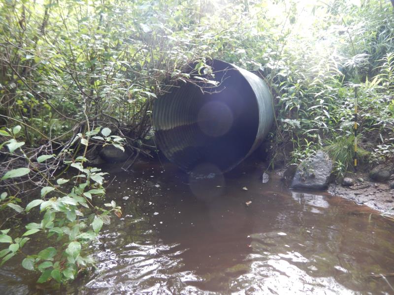
Outlet
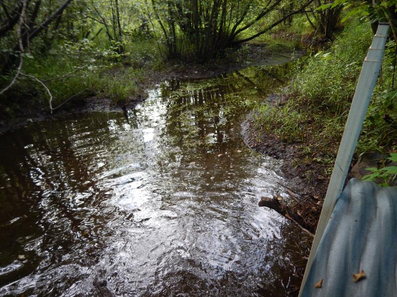
Upstream Conditions
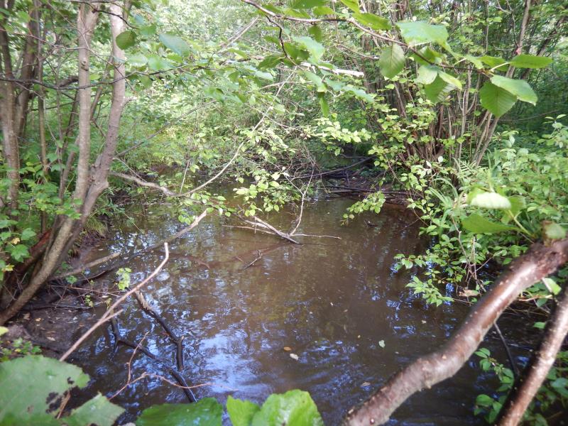
Downstream Conditions

Road Approach - Left
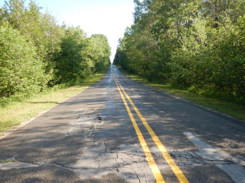
Road Approach - Right
Crossing Information
Type of Crossing: culvert(s)
Number of Structures: 1
Structure Shape: Round
Inlet Type: Projecting
Outlet Type: Freefall into Pool
Structure Material: Metal
Structure Substrate: Mixture
General Conditions: Good
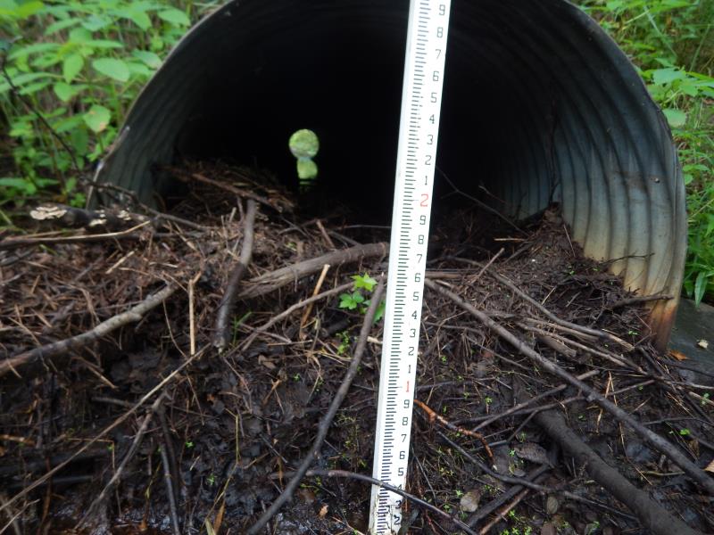
Structure Interior: corrugated
Dimensions of Structure: Length 60 ft.
, Width 3.5 ft.
, Height 3.5 ft.
Percentage Plugged:
Inlet: 26% to 50%
Outlet: 0%
In Pipe: 0%
Perch Height: 0.1 ft.
Structure Inlet
Water Depth: 0.6 ft.
Embedded Depth of Structure: 1.5 ft.
Water Velocity*: 0.1 ft./sec.
Structure Outlet
Water Depth: 1 ft.
Embedded Depth of Structure: 0 ft.
Water Velocity*: 1.5 ft./sec.
*Water Velocities were measured 0.1 ft. below Surface
(with Meter)
Stream Information
Stream Flow: Less than 1/2 Bankfull
Riffle Information
Water Depth: 0.3 ft.
Bankfull Width: 9 ft.
Wetted Width: 6 ft.
Water Velocity: 0.1 ft./sec.
(Measured with Meter)
Dominant Substrate: Organics
Road Information
Paved
County Road
Road Condition: Fair
Road Width at Culvert: 22 ft.
Location of Low Point: Other
Runoff Path: Ditch
Embankments
Upstream
Fill Depth: 5 ft.
Slope: 1:1
Downstream
Fill Depth: 5 ft.
Slope: 1:1
Approaches
Left Approach
Length: 500 ft.
Slope: 1% to 5%
Vegetation: Heavy
LS Factor: 0.5
Erosion: 0.1818 tons/year
Right Approach
Length: 75 ft.
Slope: Less Than 1%
Vegetation: Heavy
LS Factor: 0.05
Erosion: 0.0027 tons/year
Erosion Information
Total Erosion at Crossing: 0.1845 tons/year
Summary Information
Fish Passability 0
Fish Passage is an area of concern for this site.
Perched outlet
These non-native species were observerd at this site: Autumn Olive
�