Road Stream Crossing Site LM002
Manistee River Watershed, Little Manistee River Tributary
1 Mile Rd
Ellsworth Twp,
Lake County
Information collected by:
Site Location
GPS Coordinates: 44.002658
, -85.604245
T19N
R11W
Sec 27
Owned by Private
Fish Passability 0.9
Total Erosion: 2.1157 tons/year
Severity: Moderate
Year Inventoried: 2019
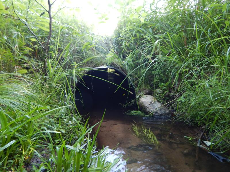
Inlet
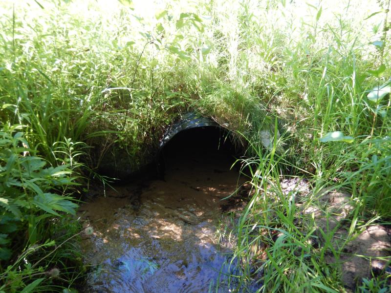
Outlet
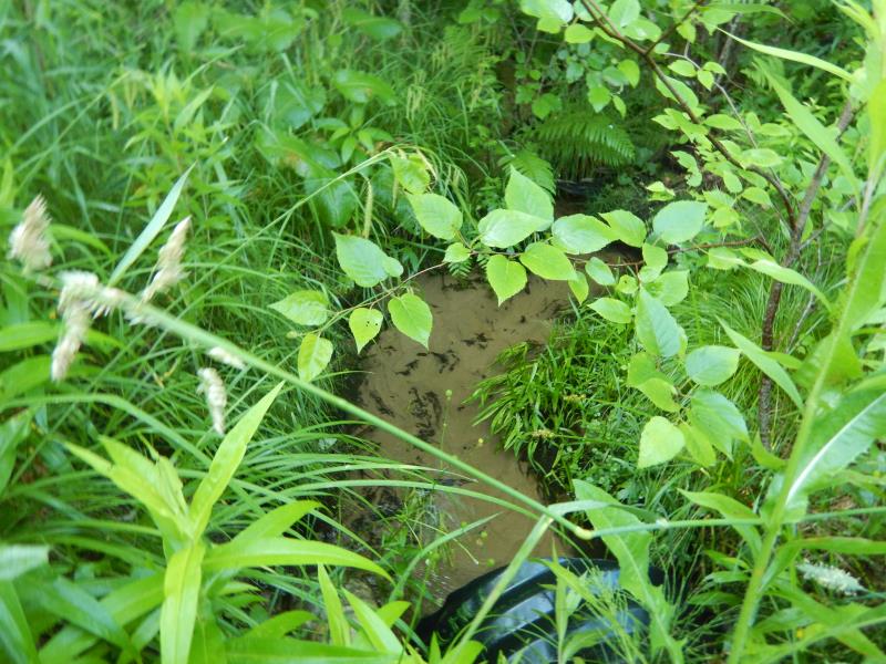
Upstream Conditions
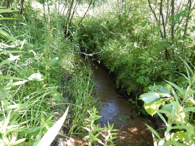
Downstream Conditions
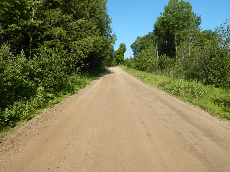
Road Approach - Left
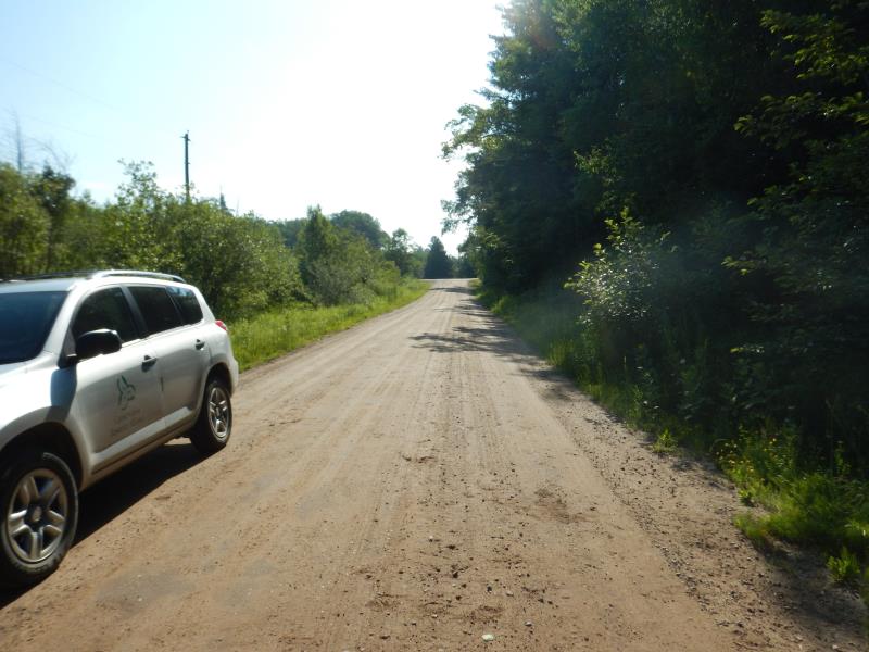
Road Approach - Right
Crossing Information
Type of Crossing: culvert(s)
Number of Structures: 1
Structure Shape: Round
Inlet Type: Projecting
Outlet Type: At Stream Grade
Structure Material: Plastic
Structure Substrate: Sand
General Conditions: Good
Structure Interior: corrugated
Dimensions of Structure: Length 42 ft.
, Width 2 ft.
, Height 2 ft.
Structure Inlet
Water Depth: 0.5 ft.
Embedded Depth of Structure: 0.1 ft.
Water Velocity*: 1.2 ft./sec.
Structure Outlet
Water Depth: 0.4 ft.
Embedded Depth of Structure: 0.5 ft.
Water Velocity*: 0.8 ft./sec.
*Water Velocities were measured 0.1 ft. below Surface
(with Meter)
Stream Information
Stream Flow: Less than Bankfull
Riffle Information
Water Depth: 0.5 ft.
Bankfull Width: 3 ft.
Wetted Width: 2 ft.
Water Velocity: 1.3 ft./sec.
(Measured with Meter)
Dominant Substrate: Sand
Road Information
Gravel
County Road
Road Condition: Fair
Road Width at Culvert: 20 ft.
Location of Low Point: At Stream
Runoff Path: Ditch
Embankments
Upstream
Fill Depth: 2 ft.
Slope: More than 1:2
Downstream
Fill Depth: 2 ft.
Slope: More than 1:2
Approaches
Left Approach
Length: 400 ft.
Slope: 1% to 5%
Vegetation: Heavy
LS Factor: 0.48
Erosion: 1.0579 tons/year
Right Approach
Length: 400 ft.
Slope: 1% to 5%
Vegetation: Heavy
LS Factor: 0.48
Erosion: 1.0579 tons/year
Erosion Information
Total Erosion at Crossing: 2.1157 tons/year
Summary Information
Fish Passability 0.9
These non-native species were observerd at this site: Autumn Olive
�