Road Stream Crossing Site LM003
Manistee River Watershed, Little Manistee River
1 Mile Rd
Ellsworth Twp,
Lake County
Information collected by:
Site Location
GPS Coordinates: 44.002527
, -85.617519
T19N
R11W
Sec 27
Owned by Private
Fish Passability 0.5
Total Erosion: 1.7587 tons/year
Severity: Moderate
Year Inventoried: 2019
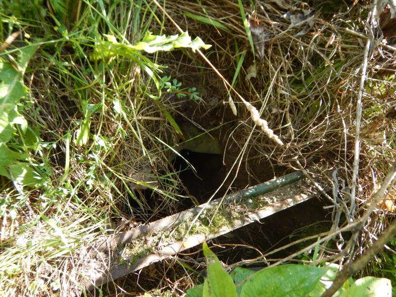
Inlet
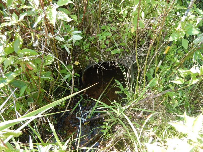
Outlet
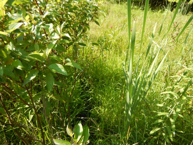
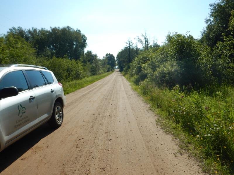
Upstream Conditions
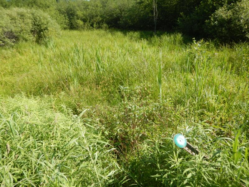
Downstream Conditions
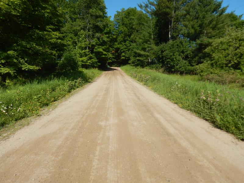
Road Approach - Left
Road Approach - Right
Crossing Information
Type of Crossing: culvert(s)
Number of Structures: 1
Structure Shape: Round
Inlet Type: Projecting
Outlet Type: At Stream Grade
Structure Material: Metal
Structure Substrate: Sand
General Conditions: Poor
Structure Interior: corrugated
Dimensions of Structure: Length 28 ft.
, Width 1.5 ft.
, Height 1.5 ft.
Percentage Crushed:
Inlet: 26% to 50%
Outlet: 0%
In Pipe: 0%
Structure Inlet
Water Depth: 0.1 ft.
Embedded Depth of Structure: 0.2 ft.
Water Velocity*: 0.1 ft./sec.
Structure Outlet
Water Depth: 0.1 ft.
Embedded Depth of Structure: 0.3 ft.
Water Velocity*: 0.1 ft./sec.
*Water Velocities were measured at the Surface
(with Float Test)
Stream Information
Stream Flow: Less than 1/2 Bankfull
Riffle Information
Water Depth: 0.1 ft.
Bankfull Width: 2.5 ft.
Wetted Width: 0.5 ft.
Water Velocity: 0.1 ft./sec.
(Measured with Float Test)
Dominant Substrate: Sand
Road Information
Gravel
County Road
Road Condition: Fair
Road Width at Culvert: 19 ft.
Location of Low Point: At Stream
Runoff Path: Ditch
Embankments
Upstream
Fill Depth: 1.5 ft.
Slope: Vertical
Downstream
Fill Depth: 2 ft.
Slope: More than 1:2
Approaches
Left Approach
Length: 200 ft.
Slope: 1% to 5%
Vegetation: Heavy
LS Factor: 0.43
Erosion: 0.4501 tons/year
Right Approach
Length: 500 ft.
Slope: 1% to 5%
Vegetation: Heavy
LS Factor: 0.5
Erosion: 1.3085 tons/year
Erosion Information
Total Erosion at Crossing: 1.7587 tons/year
Summary Information
Fish Passability 0.5
�