Road Stream Crossing Site LM005
Manistee River Watershed, Little Manistee River Tributary
2 1/2 Mile Rd
Ellsworth Twp,
Lake County
Information collected by:
Site Location
GPS Coordinates: 44.02625
, -85.606523
T19N
R11W
Sec 22
Owned by Private
Fish Passability 0
Perch Height: 0.2 ft.
Total Erosion: 0.6848 tons/year
Severity: Severe
Year Inventoried: 2019
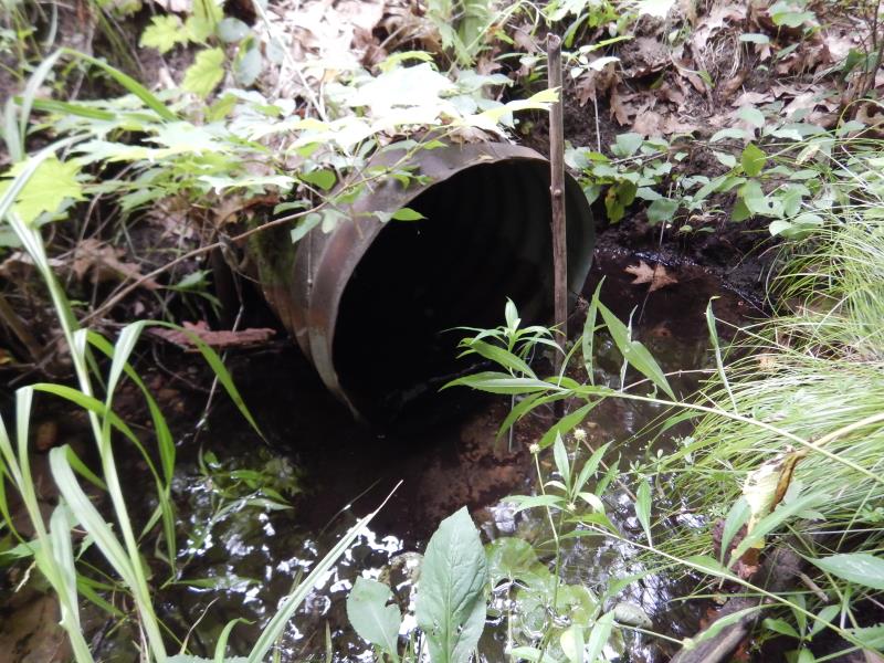
Inlet
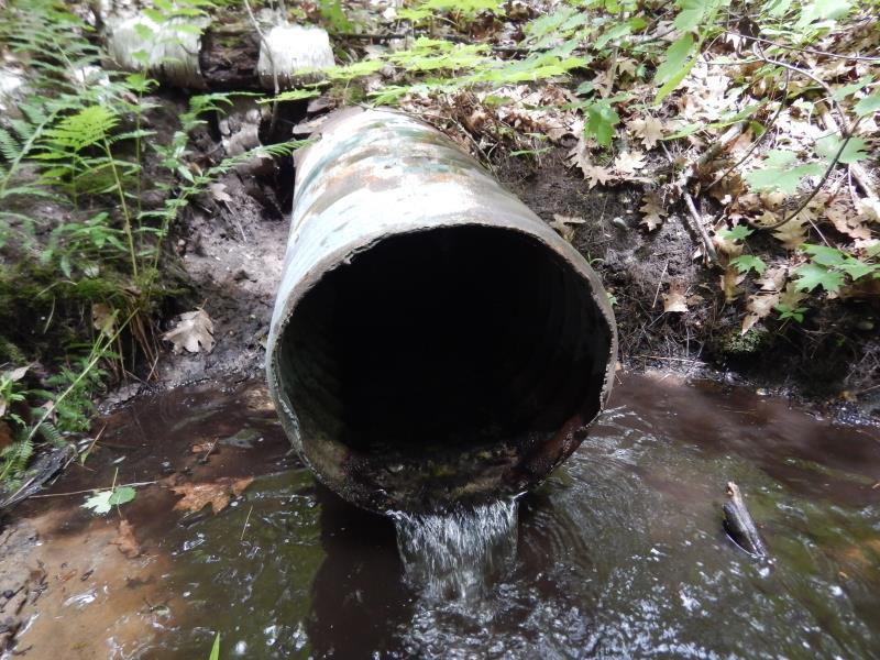
Outlet
Outlet
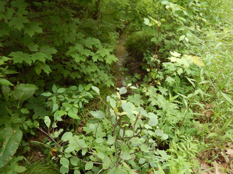
Upstream Conditions
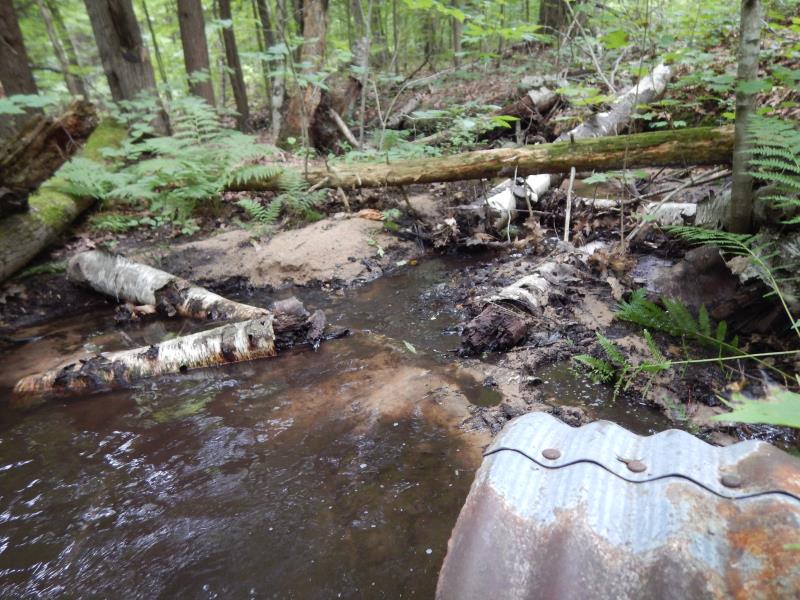
Downstream Conditions
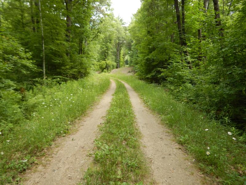
Road Approach - Left
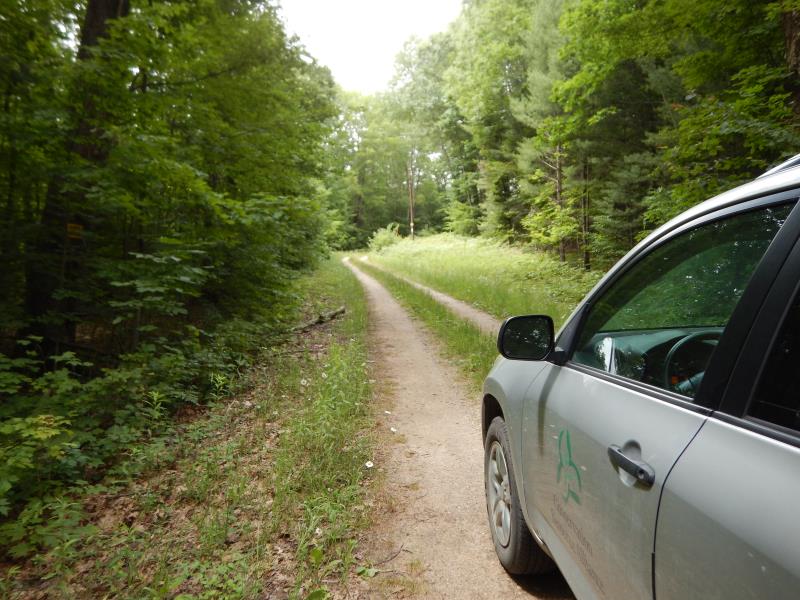
Road Approach - Right
Crossing Information
Type of Crossing: culvert(s)
Number of Structures: 1
Structure Shape: Round
Inlet Type: Projecting
Outlet Type: Freefall into Pool
Structure Material: Metal
Structure Substrate: None
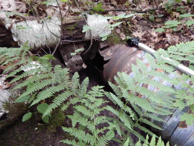
General Conditions: Poor
Structure Interior: corrugated
Structure is Rusted through
Dimensions of Structure: Length 30.5 ft.
, Width 1.5 ft.
, Height 1.5 ft.
Perch Height: 0.2 ft.
Structure Inlet
Water Depth: 0.1 ft.
Embedded Depth of Structure: 0 ft.
Water Velocity*: 1.2 ft./sec.
Structure Outlet
Water Depth: 0.1 ft.
Embedded Depth of Structure: 0 ft.
Water Velocity*: 2.2 ft./sec.
*Water Velocities were measured at the Surface
(with Meter)
Stream Information
Stream Flow: Less than 1/2 Bankfull
Scour Pool: Length 8 ft.
, Width 11 ft.
, Depth 1.5 ft.
Riffle Information
Water Depth: 0.1 ft.
Bankfull Width: 2.6 ft.
Wetted Width: 1.8 ft.
Water Velocity: 0.5 ft./sec.
(Measured with Meter)
Dominant Substrate: Sand
Road Information
Native Surface
County Road
(Seasonal)
Road Condition: Fair
Road Width at Culvert: 10 ft.
Location of Low Point: At Stream
Runoff Path: Roadway
Embankments
Upstream
Fill Depth: 1 ft.
Slope: 1:2
Downstream
Fill Depth: 1 ft.
Slope: 1:2
Approaches
Left Approach
Length: 270 ft.
Slope: 1% to 5%
Vegetation: Heavy
LS Factor: 0.448
Erosion: 0.3332 tons/year
Right Approach
Length: 280 ft.
Slope: 1% to 5%
Vegetation: Heavy
LS Factor: 0.452
Erosion: 0.3487 tons/year
Erosion Information
Total Erosion at Crossing: 0.6848 tons/year
Extent of Erosion: Minor
Notes: Eroding underneath inlet at .2 ft below inlet
Location of Erosion | Erosion Dimensions | Eroded Material | Material Eroded | Total Erosion | ||
facing downstream | Length | Width | Depth | Reaching Stream? | (tons/year) | |
Right Downstream Embankment |
3 ft. |
1 ft. |
1 ft. |
yes |
Sandy Loam |
0.0029 |
Summary Information
Fish Passability 0
Fish Passage is an area of concern for this site.
These non-native species were observerd at this site: Reed Canary Grass
�