Road Stream Crossing Site LM014
Manistee River Watershed, Little Manistee River
N Douglas Rd
Ellsworth Twp,
Lake County
Information collected by:
Site Location
GPS Coordinates: 44.031917
, -85.672857
T19N
R11W
Sec 18
Owned by Private
Fish Passability 0.5
Total Erosion: 0.0028 tons/year
Severity: Moderate
Year Inventoried: 2019
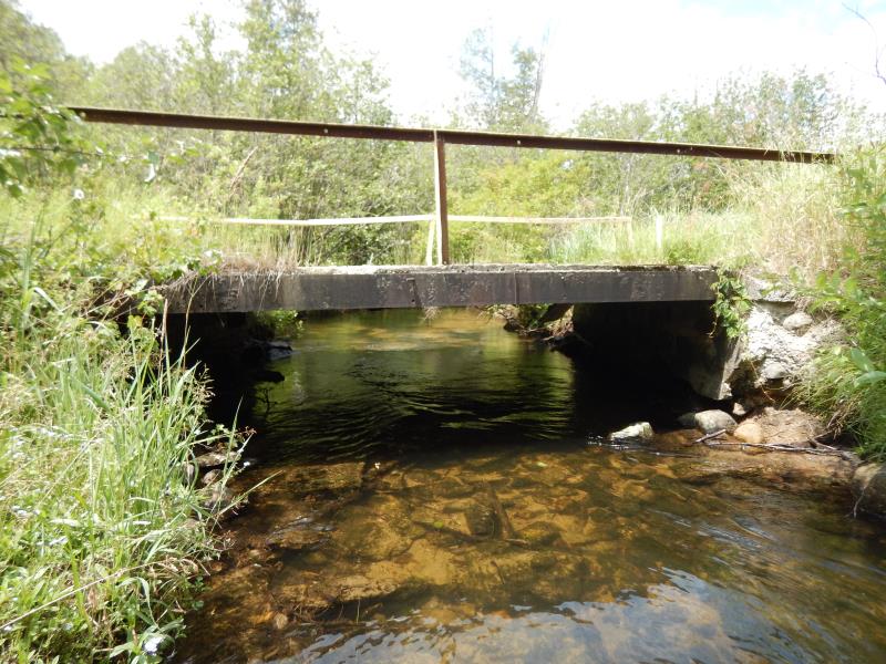
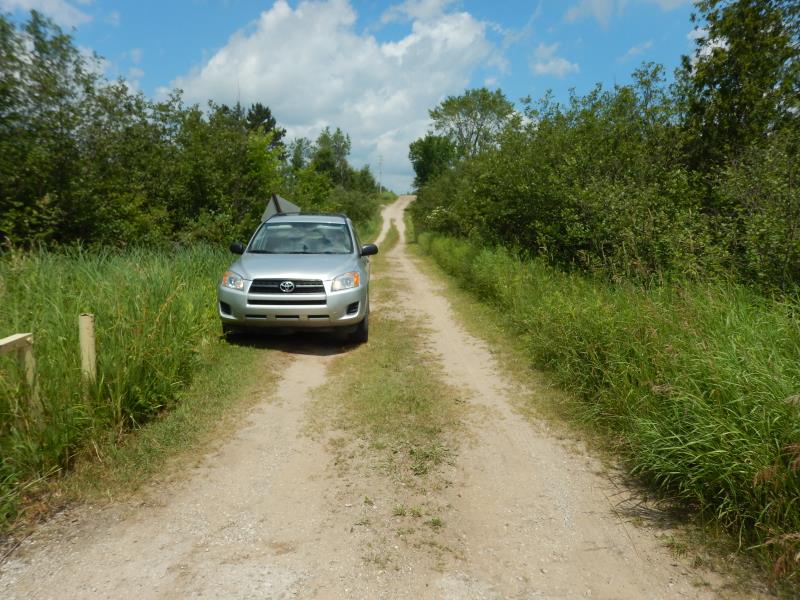
Inlet
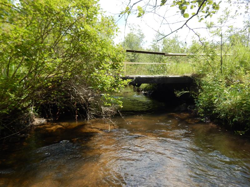
Outlet
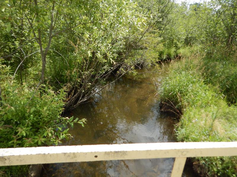
Upstream Conditions
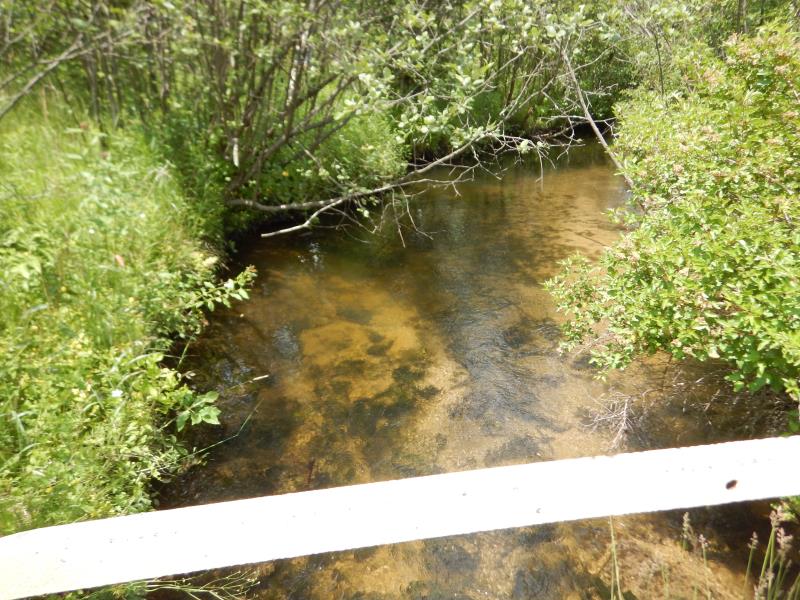
Downstream Conditions
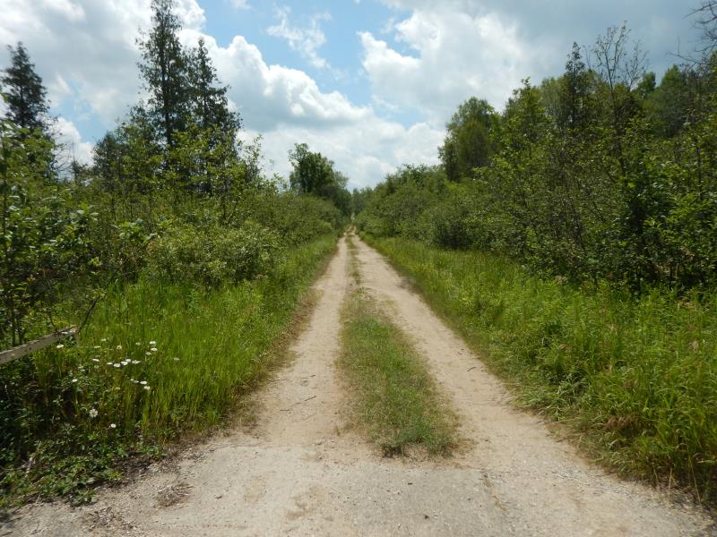
Road Approach - Left
Road Approach - Right
Crossing Information
Type of Crossing: Bridge
Structure Shape: Open Bottom Square/Rectangle
Inlet Type: Wingwall 30-70 Degree
Outlet Type: At Stream Grade
Structure Material: Concrete
Structure Substrate: Rock
General Conditions: Fair
Structure Interior: smooth
Dimensions of Structure: Length 15 ft.
, Width 17 ft.
, Height 4 ft.
Structure Inlet
Water Depth: 0.8 ft.
Embedded Depth of Structure: 0 ft.
Water Velocity*: 1.8 ft./sec.
Structure Outlet
Water Depth: 1.1 ft.
Embedded Depth of Structure: 0 ft.
Water Velocity*: 2.1 ft./sec.
*Water Velocities were measured 0.8 ft. below Surface
(with Meter)
Stream Information
Stream Flow: Less than Bankfull
Riffle Information
Water Depth: 1.7 ft.
Bankfull Width: 14.5 ft.
Wetted Width: 12.5 ft.
Water Velocity: 0.8 ft./sec.
(Measured with Meter)
Dominant Substrate: Sand
Road Information
Paved
County Road
(Seasonal)
Road Condition: Fair
Road Width at Culvert: 17 ft.
Location of Low Point: At Stream
Runoff Path: Roadway
Fill Depth: 0 ft.
Slope: Vertical
Fill Depth: 0 ft.
Slope: Vertical
Approaches
Left Approach
Length: 50 ft.
Slope: Less Than 1%
Vegetation: Heavy
LS Factor: 0.05
Erosion: 0.0014 tons/year
Right Approach
Length: 50 ft.
Slope: Less Than 1%
Vegetation: Heavy
LS Factor: 0.05
Erosion: 0.0014 tons/year
Erosion Information
Total Erosion at Crossing: 0.0028 tons/year
Extent of Erosion: Minor
Notes: wingwalls eroded, but heavy vegetation
Summary Information
Fish Passability 0.5
These non-native species were observerd at this site: Knappweed
�