Road Stream Crossing Site LM016
Manistee River Watershed, Lincoln Creek Tributary
N State Rd
Ellsworth Twp,
Lake County
Information collected by:
Site Location
GPS Coordinates: 44.012559
, -85.682162
T19N
R11W
Sec 30
Owned by Private
Fish Passability 0.5
Total Erosion: 2.0496 tons/year
Severity: Moderate
Year Inventoried: 2019
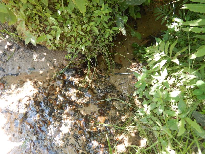
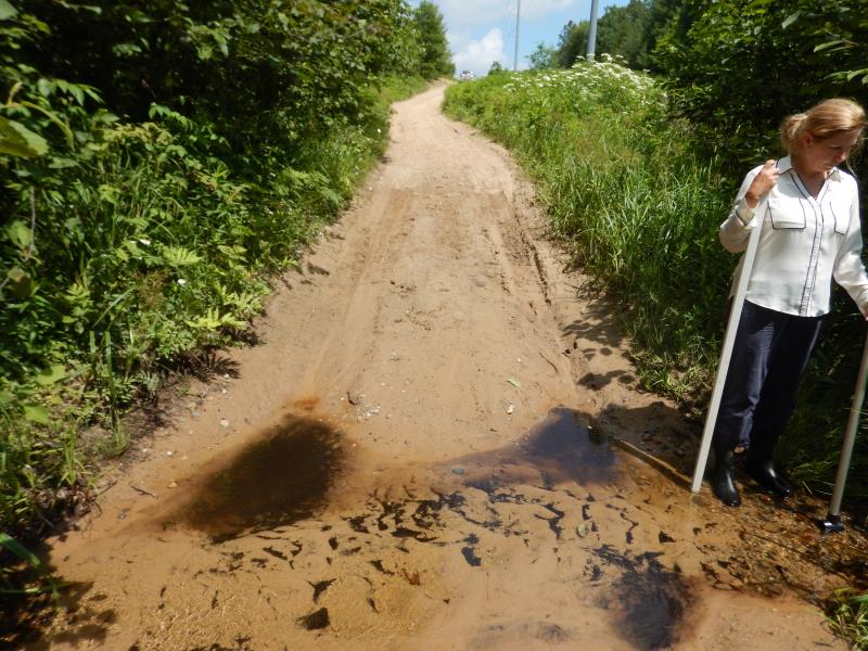
Inlet
Outlet
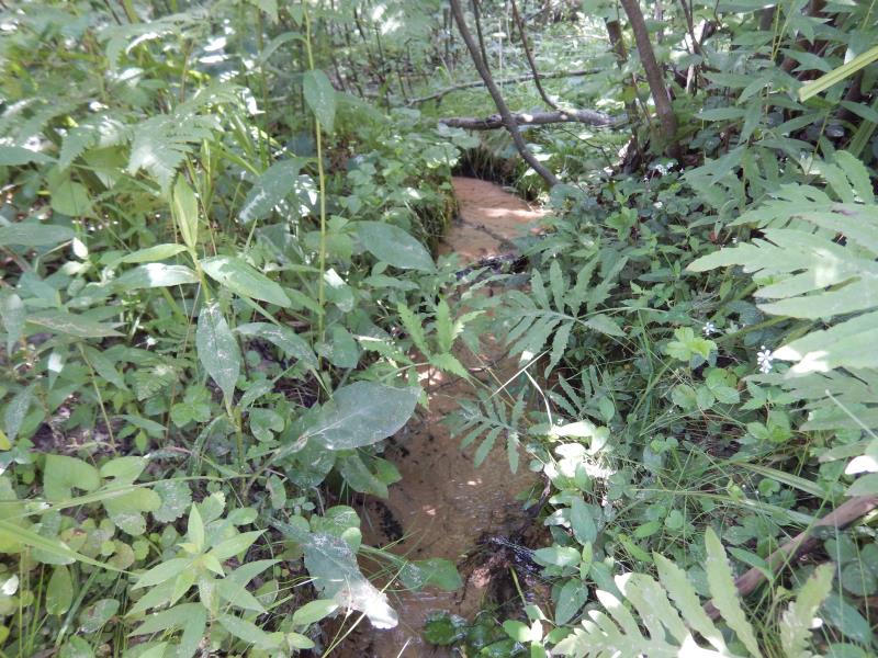
Upstream Conditions
Downstream Conditions
Road Approach - Left
Road Approach - Right
Crossing Information
Type of Crossing: Ford
Inlet Type: Other
Outlet Type: At Stream Grade
Structure Substrate: Sand
General Conditions: Fair
Dimensions of Structure: Length 0 ft.
, Width 0 ft.
, Height 0 ft.
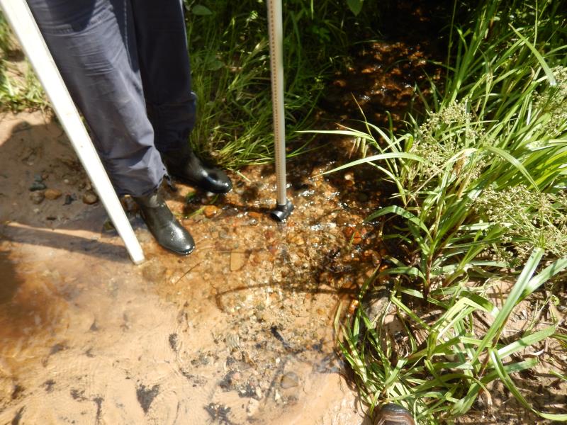
Structure Inlet
Water Depth: 0.1 ft.
Embedded Depth of Structure: 0 ft.
Water Velocity*: 0.8 ft./sec.
Structure Outlet
Water Depth: 0.1 ft.
Embedded Depth of Structure: 0 ft.
Water Velocity*: 1 ft./sec.
*Water Velocities were measured at the Surface
(with Meter)
Stream Information
Stream Flow: Less than 1/2 Bankfull
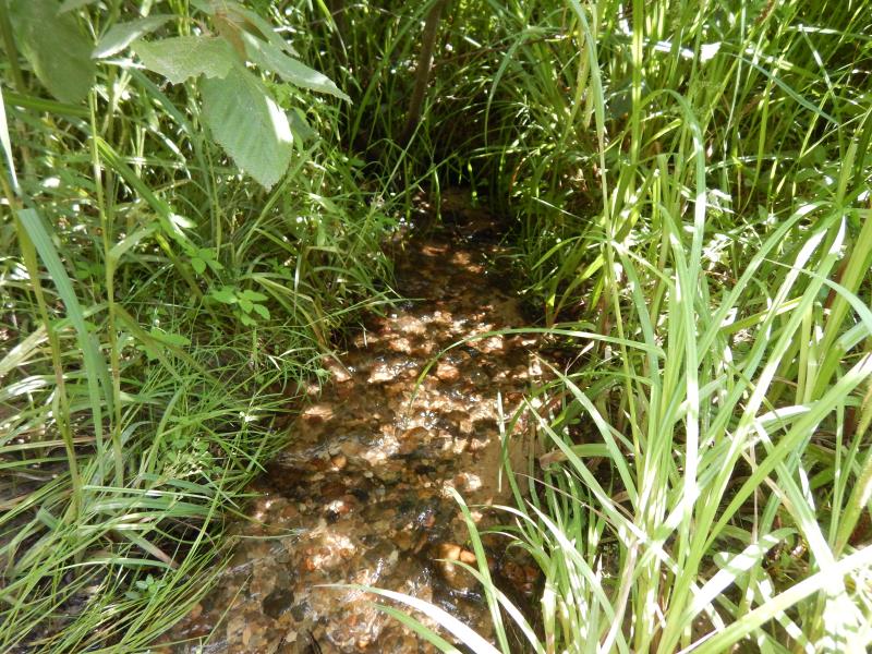
Riffle Information
Water Depth: 0.2 ft.
Bankfull Width: 4 ft.
Wetted Width: 2 ft.
Water Velocity: 1.5 ft./sec.
(Measured with Meter)
Dominant Substrate: Gravel
Road Information
Sand
County Road
(Seasonal)
Road Condition: Poor
Road Width at Culvert: 15 ft.
Location of Low Point: At Stream
Runoff Path: Roadway
Fill Depth: 0 ft.
Slope: More than 1:2
Fill Depth: 0 ft.
Slope: More than 1:2
Approaches
Left Approach
Length: 500 ft.
Slope: 1% to 5%
Vegetation: Heavy
LS Factor: 0.5
Erosion: 1.0331 tons/year
Right Approach
Length: 200 ft.
Slope: 6% to 10%
Vegetation: Heavy
LS Factor: 1.23
Erosion: 1.0165 tons/year
Erosion Information
Total Erosion at Crossing: 2.0496 tons/year
Summary Information
Fish Passability 0.5
Erosion is an area of concern for this site.
�