Road Stream Crossing Site LM019
Manistee River Watershed, Little Manistee River
State Rd
Ellsworth Twp,
Lake County
Information collected by:
Site Location
GPS Coordinates: 44.0347
, -85.6824
T19N
R11W
Sec 18
Owned by Private
Local Government
Local Government
Fish Passability 0.5
Total Erosion: 0.1252 tons/year
Severity: Moderate
Year Inventoried: 2019
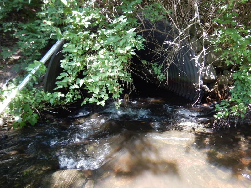
Inlet
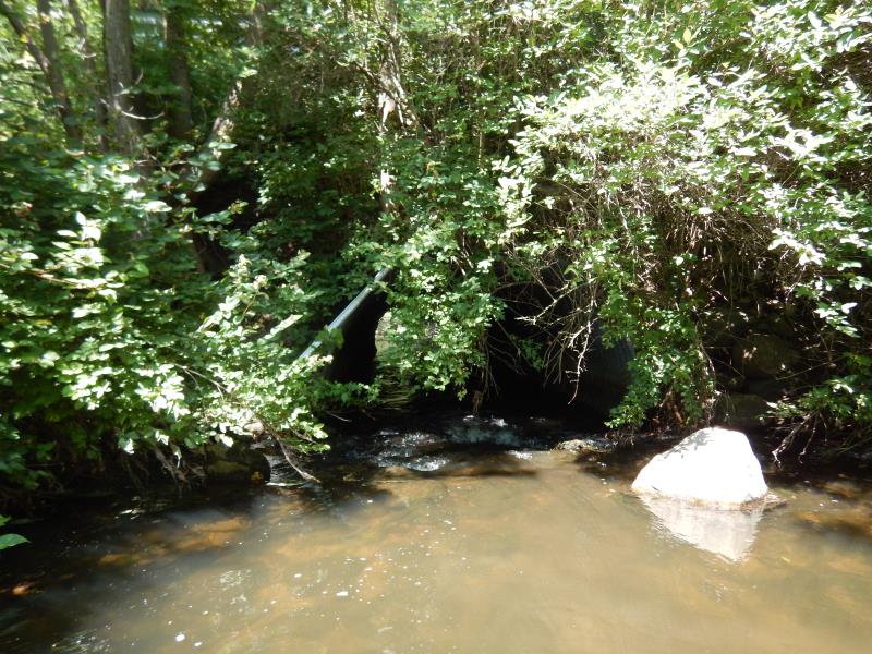
Inlet
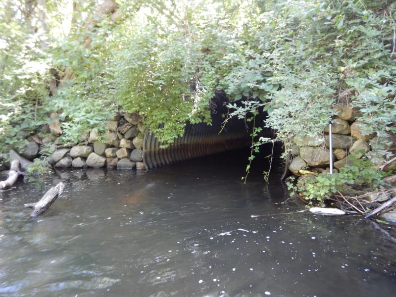
Outlet
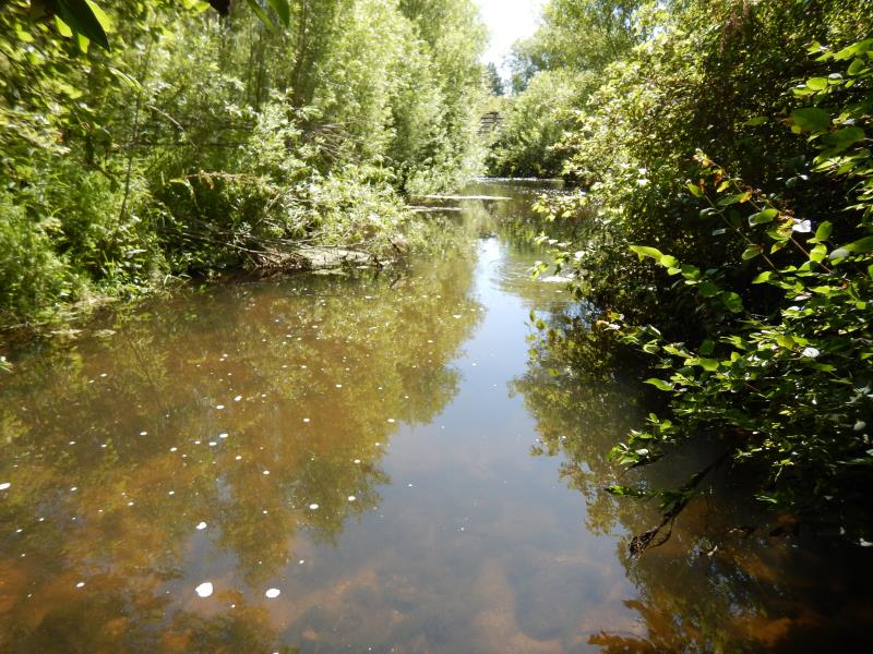
Upstream Conditions
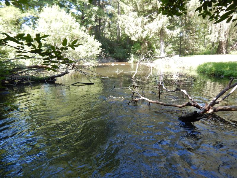
Downstream Conditions

Road Approach - Left
Road Approach - Right

Other
Crossing Information
Type of Crossing: Bridge
Structure Shape: Pipe Arch
Inlet Type: Projecting
Outlet Type: At Stream Grade
Structure Material: Metal
Structure Substrate: Rock
General Conditions: Good
Structure Interior: corrugated
Dimensions of Structure: Length 50.5 ft.
, Width 9 ft.
, Height 6.2 ft.
Structure Inlet
Water Depth: 0.9 ft.
Embedded Depth of Structure: 0 ft.
Water Velocity*: 2 ft./sec.
Structure Outlet
Water Depth: 0.9 ft.
Embedded Depth of Structure: 0 ft.
Water Velocity*: 2.2 ft./sec.
*Water Velocities were measured 0.7 ft. below Surface
(with Meter)
Additional Comments
No tresspassing downstream; below Luther dam upstream
Stream Information
Stream Flow: Less than Bankfull
Scour Pool: Length 40 ft.
, Width 27 ft.
, Depth 4 ft.
Riffle Information
Water Depth: 0.9 ft.
Bankfull Width: 16 ft.
Wetted Width: 14 ft.
Water Velocity: 0.9 ft./sec.
(Measured with Meter)
Dominant Substrate: Gravel
Road Information
Paved
Town Road
Road Condition: Good
Road Width at Culvert: 15 ft.
Location of Low Point: At Stream
Runoff Path: Roadway
Embankments
Upstream
Fill Depth: 10 ft.
Slope: Vertical
Downstream
Fill Depth: 10 ft.
Slope: Vertical
Approaches
Left Approach
Length: 500 ft.
Slope: 1% to 5%
Vegetation: Heavy
LS Factor: 0.5
Erosion: 0.124 tons/year
Right Approach
Length: 50 ft.
Slope: Less Than 1%
Vegetation: Heavy
LS Factor: 0.05
Erosion: 0.0012 tons/year
Erosion Information
Total Erosion at Crossing: 0.1252 tons/year
Summary Information
Fish Passability 0.5
These non-native species were observerd at this site: Autumn Olive
�