Road Stream Crossing Site LM021
Manistee River Watershed, Little Manistee River
Birch/ E 3 1/2 Mile Rd
Newkirk Twp,
Lake County
Information collected by:
Site Location
GPS Coordinates: 44.038277
, -85.689573
T19N
R12W
Sec 13
Owned by State
Private
Private
Fish Passability 0
Perch Height: 1.9 ft.
Total Erosion: 0.5288 tons/year
Severity: Severe
Year Inventoried: 2019
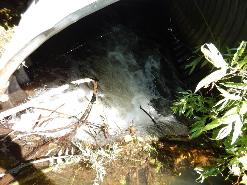
Inlet
Inlet

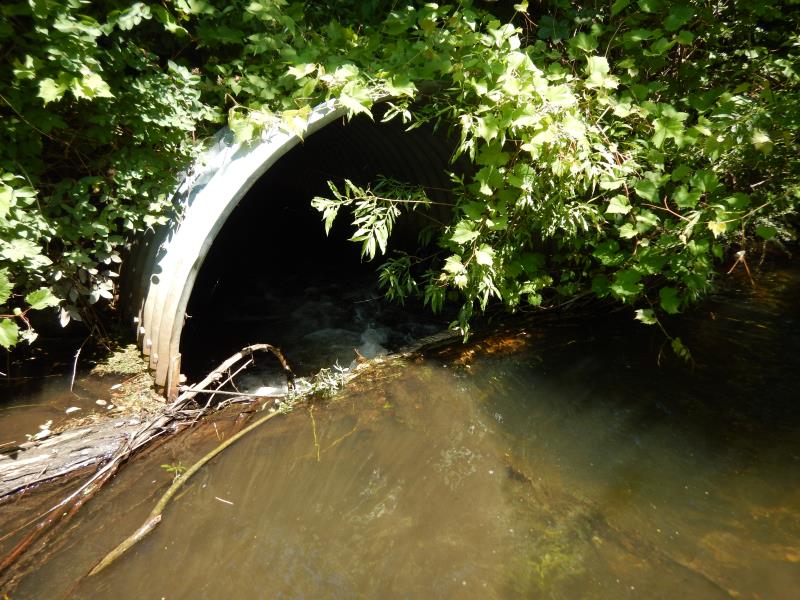
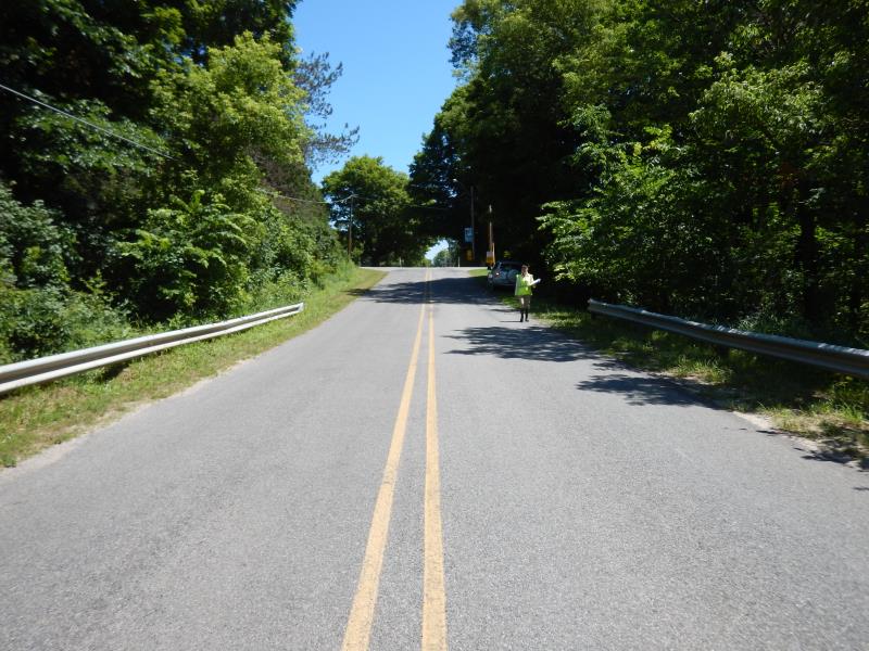
Outlet
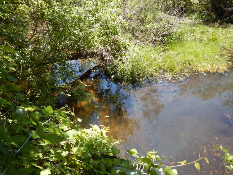
Upstream Conditions
Downstream Conditions
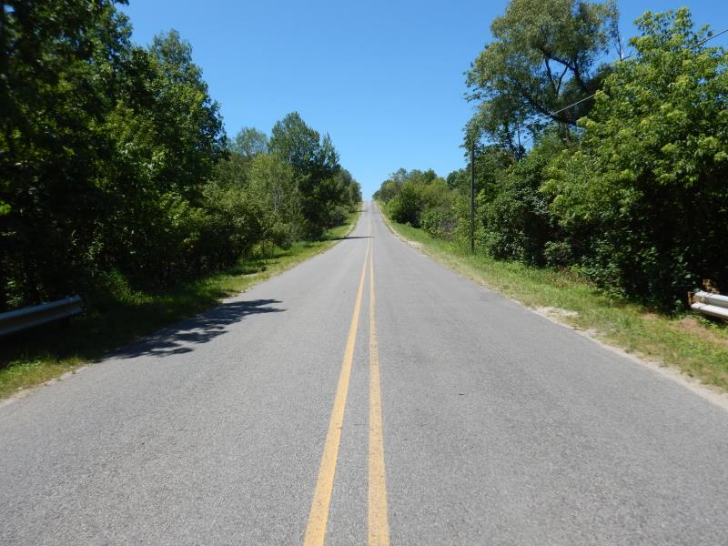
Road Approach - Left
Road Approach - Right
Other
Crossing Information
Type of Crossing: culvert(s)
Number of Structures: 1
Structure Shape: Ellipse
Inlet Type: Projecting
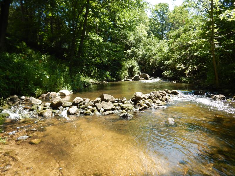
Outlet Type: Cascade over Riprap
Structure Material: Metal
Structure Substrate: None
General Conditions: Fair
Structure Interior: corrugated
Dimensions of Structure: Length 50 ft.
, Width 6.8 ft.
, Height 5.2 ft.
Percentage Plugged:
Inlet: 1% to 25%
Perch Height: 1.9 ft.
Structure Inlet
Water Depth: 0.9 ft.
Embedded Depth of Structure: 0 ft.
Water Velocity*: 4.2 ft./sec.
Structure Outlet
Water Depth: 1.3 ft.
Embedded Depth of Structure: 0 ft.
Water Velocity*: 4.2 ft./sec.
*Water Velocities were measured 0.1 ft. below Surface
(with Meter)
Additional Comments
Inlet has a perch just within from logjam; stream is modified for human use
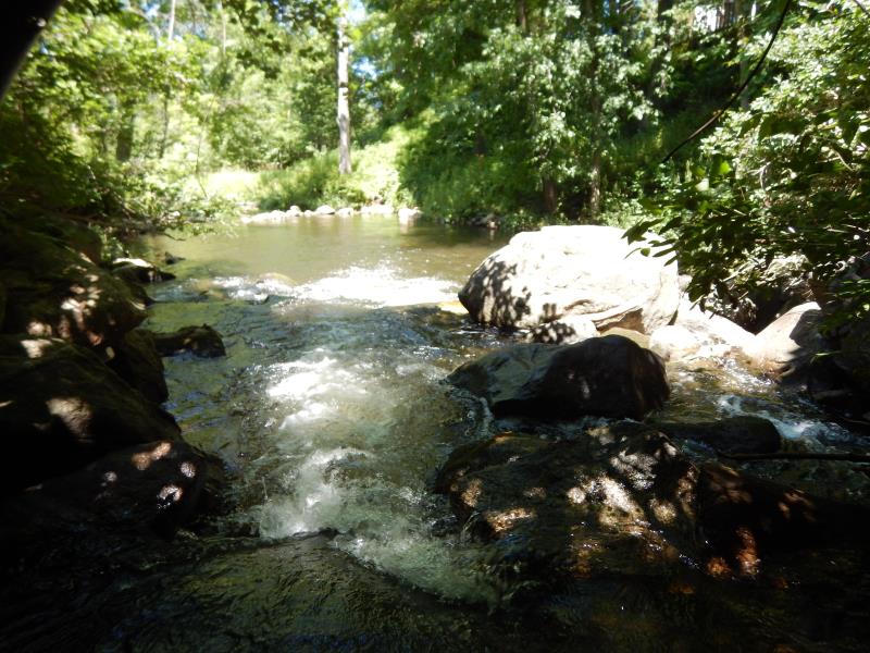
Stream Information
Stream Flow: Less than Bankfull
Scour Pool: Length 50 ft.
, Width 30 ft.
, Depth 4 ft.
Riffle Information
Water Depth: 0.6 ft.
Bankfull Width: 22.5 ft.
Wetted Width: 20.5 ft.
Water Velocity: 1.2 ft./sec.
(Measured with Meter)
Dominant Substrate: Gravel
Road Information
Paved
County Road
Road Condition: Good
Road Width at Culvert: 18 ft.
Location of Low Point: At Stream
Runoff Path: Roadway
Embankments
Upstream
Fill Depth: 6 ft.
Slope: 1:1.5
Downstream
Fill Depth: 6 ft.
Slope: 1:1.5
Approaches
Left Approach
Length: 500 ft.
Slope: 6% to 10%
Vegetation: Heavy
LS Factor: 1.635
Erosion: 0.4864 tons/year
Right Approach
Length: 150 ft.
Slope: 1% to 5%
Vegetation: Heavy
LS Factor: 0.4
Erosion: 0.0357 tons/year
Erosion Information
Total Erosion at Crossing: 0.5288 tons/year
Extent of Erosion: Minor
Location of Erosion | Erosion Dimensions | Eroded Material | Material Eroded | Total Erosion | ||
facing downstream | Length | Width | Depth | Reaching Stream? | (tons/year) | |
Right Upstream Embankment |
7 ft. |
3 ft. |
1 ft. |
yes |
Sandy Loam |
0.0067 |
Summary Information
Fish Passability 0
Fish Passage is an area of concern for this site.
�