Road Stream Crossing Site LM022
Manistee River Watershed, Lincoln Creek
Lincoln Creek Rd
Newkirk Twp,
Lake County
Information collected by:
Site Location
GPS Coordinates: 44.034783
, -85.688954
T19N
R12W
Sec 13
Owned by Private
Fish Passability 0.9
Total Erosion: 1.3109 tons/year
Severity: Moderate
Year Inventoried: 2019
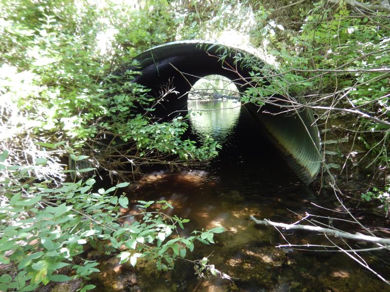
Inlet
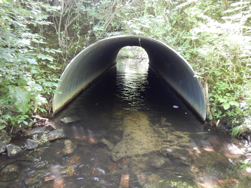
Outlet
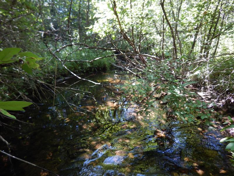
Upstream Conditions
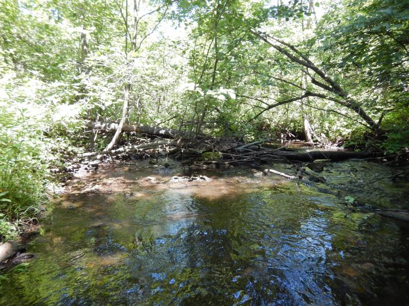
Downstream Conditions
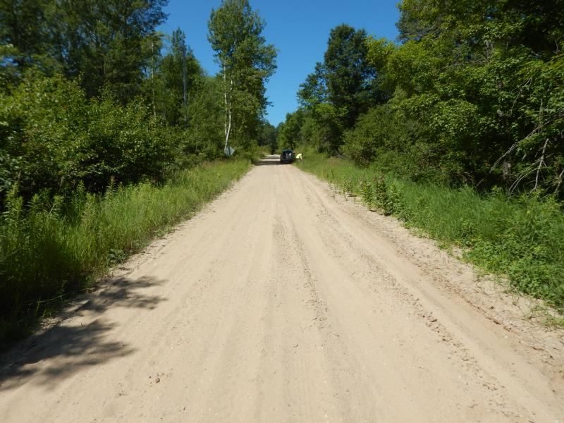
Road Approach - Left
Road Approach - Right
Crossing Information
Type of Crossing: Bridge
Structure Shape: Pipe Arch
Inlet Type: Projecting
Outlet Type: At Stream Grade
Structure Material: Metal
Structure Substrate: Sand
General Conditions: Good
Structure Interior: corrugated
Dimensions of Structure: Length 36 ft.
, Width 8.5 ft.
, Height 6 ft.
Structure Inlet
Water Depth: 1.1 ft.
Embedded Depth of Structure: 0.1 ft.
Water Velocity*: 0.4 ft./sec.
Structure Outlet
Water Depth: 0.9 ft.
Embedded Depth of Structure: 0.4 ft.
Water Velocity*: 0.3 ft./sec.
*Water Velocities were measured 0.7 ft. below Surface
(with Meter)
Stream Information
Stream Flow: Less than Bankfull
Riffle Information
Water Depth: 0.6 ft.
Bankfull Width: 15 ft.
Wetted Width: 13.1 ft.
Water Velocity: 0.6 ft./sec.
(Measured with Meter)
Dominant Substrate: Sand
Road Information
Sand
County Road
Road Condition: Fair
Road Width at Culvert: 17 ft.
Location of Low Point: At Stream
Runoff Path: Ditch
Embankments
Upstream
Fill Depth: 7 ft.
Slope: 1:1.5
Downstream
Fill Depth: 7 ft.
Slope: 1:1.5
Approaches
Left Approach
Length: 360 ft.
Slope: 1% to 5%
Vegetation: Heavy
LS Factor: 0.472
Erosion: 0.7958 tons/year
Right Approach
Length: 250 ft.
Slope: 1% to 5%
Vegetation: Heavy
LS Factor: 0.44
Erosion: 0.5152 tons/year
Erosion Information
Total Erosion at Crossing: 1.3109 tons/year
Summary Information
Fish Passability 0.9
These non-native species were observerd at this site: Autumn Olive
�