Road Stream Crossing Site LM031
Manistee River Watershed, South Branch Twin Creek
Kings Highway
Newkirk Twp,
Lake County
Information collected by:
Site Location
GPS Coordinates: 44.070156
, -85.722688
T19N
R12W
Sec 2
Owned by Private
Fish Passability 0.9
Total Erosion: 1.4607 tons/year
Severity: Moderate
Year Inventoried: 2019
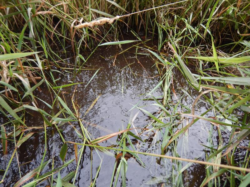
Inlet
Outlet

Upstream Conditions
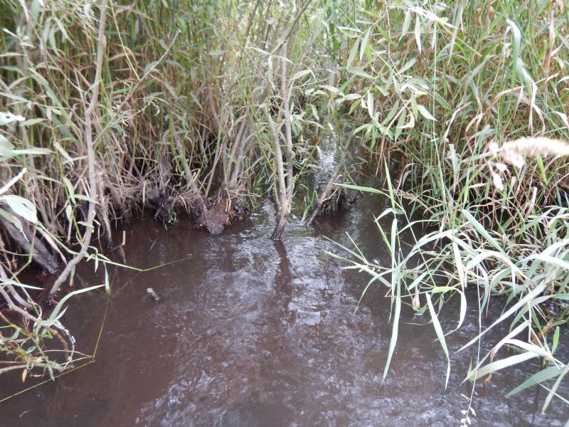
Downstream Conditions
Road Approach - Left
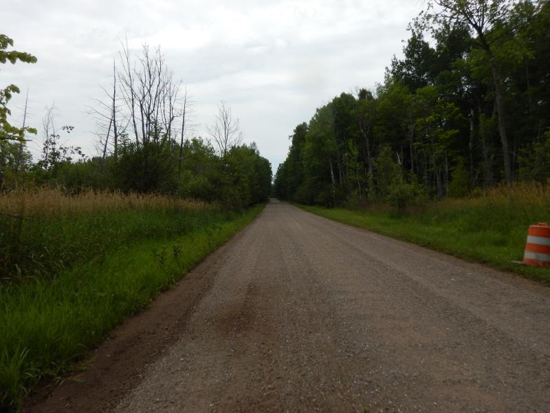
Road Approach - Right
Crossing Information
Type of Crossing: culvert(s)
Number of Structures: 2
Structure Shape: Round
Inlet Type: Projecting
Outlet Type: Other
Structure Material: Metal
Structure Substrate: Mixture
General Conditions: Fair
Multiple Culverts/Spans | ||||
Culvert/Span | Width | Length | Height | Material |
1 |
2 ft. |
26 ft. |
2 ft. |
Metal |
2 |
2 ft. |
26 ft. |
2 ft. |
Metal |
Structure Interior: corrugated
Dimensions of Structure: Length 26 ft.
, Width 2 ft.
, Height 2 ft.
Structure Inlet
Water Depth: 3 ft.
Embedded Depth of Structure: 0.5 ft.
Water Velocity*: 0.1 ft./sec.
Structure Outlet
Water Depth: 2 ft.
Embedded Depth of Structure: 0.5 ft.
Water Velocity*: 0.1 ft./sec.
*Water Velocities were measured at the Surface
(with Float Test)
Additional Comments
Culvert measurements are from culvert #2. Submerged.
Stream Information
Stream Flow: Less than Bankfull
Riffle Information
Water Depth: 1 ft.
Bankfull Width: 8 ft.
Wetted Width: 6 ft.
Water Velocity: 0.2 ft./sec.
(Measured with Meter)
Dominant Substrate: Gravel
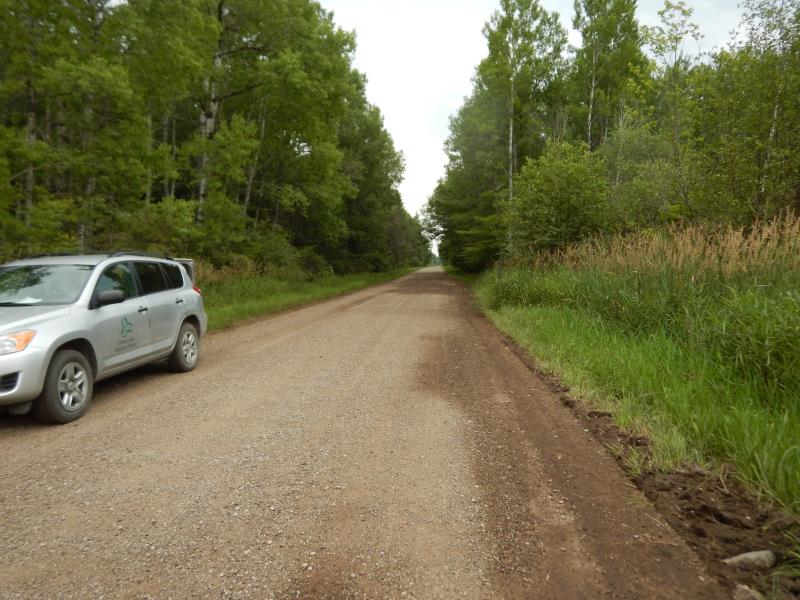
Road Information
Gravel
County Road
Road Condition: Good
Road Width at Culvert: 21 ft.
Location of Low Point: Other
Runoff Path: Ditch
Embankments
Upstream
Fill Depth: 1 ft.
Slope: 1:2
Downstream
Fill Depth: 1 ft.
Slope: 1:2
Approaches
Left Approach
Length: 500 ft.
Slope: 1% to 5%
Vegetation: Heavy
LS Factor: 0.5
Erosion: 1.4463 tons/year
Right Approach
Length: 50 ft.
Slope: Less Than 1%
Vegetation: Heavy
LS Factor: 0.05
Erosion: 0.0145 tons/year
Erosion Information
Total Erosion at Crossing: 1.4607 tons/year
Summary Information
Fish Passability 0.9
�