Road Stream Crossing Site LM032
Manistee River Watershed, South Branch Twin Creek
Power Lines North of Old M-63
Newkirk Twp,
Lake County
Information collected by:
Site Location
GPS Coordinates: 44.070254
, -85.751321
T19N
R12W
Sec 4
Owned by Private
Fish Passability 0.9
Total Erosion: 0.0072 tons/year
Severity: Minor
Year Inventoried: 2019
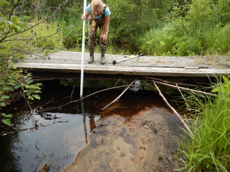
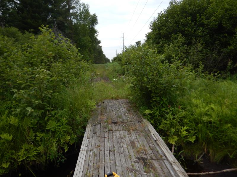
Inlet
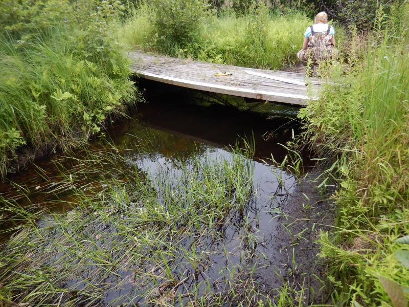
Outlet
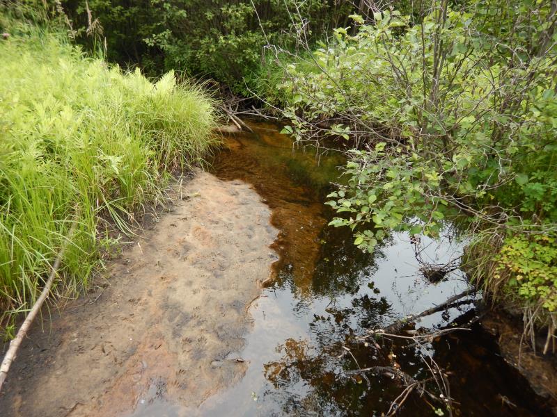
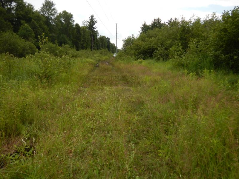
Upstream Conditions
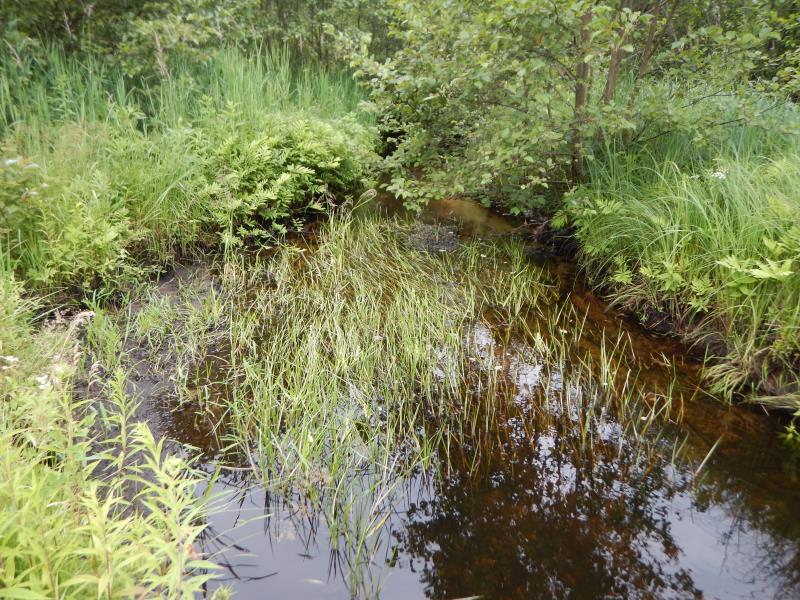
Downstream Conditions
Road Approach - Left
Road Approach - Right
Crossing Information
Type of Crossing: Bridge
Structure Shape: Open Bottom Square/Rectangle
Inlet Type: Other
Outlet Type: At Stream Grade
Structure Material: Wood
Structure Substrate: Sand
General Conditions: Poor
Structure Interior: smooth
Dimensions of Structure: Length 5.2 ft.
, Width 15.7 ft.
, Height 2 ft.
Structure Inlet
Water Depth: 0.7 ft.
Embedded Depth of Structure: 0 ft.
Water Velocity*: 0.4 ft./sec.
Structure Outlet
Water Depth: 1 ft.
Embedded Depth of Structure: 0 ft.
Water Velocity*: 0.2 ft./sec.
*Water Velocities were measured 0.6 ft. below Surface
(with Meter)
Stream Information
Stream Flow: Less than 1/2 Bankfull
Riffle Information
Water Depth: 0.3 ft.
Bankfull Width: 1 ft.
Wetted Width: 6 ft.
Water Velocity: 0.6 ft./sec.
(Measured with Meter)
Dominant Substrate: Sand
Road Information
Native Surface
Other Road
Road Condition: Poor
Road Width at Culvert: 5.2 ft.
Location of Low Point: Other
Runoff Path: Roadway
Fill Depth: 0 ft.
Slope: Vertical
Fill Depth: 0 ft.
Slope: Vertical
Approaches
Left Approach
Length: 50 ft.
Slope: Less Than 1%
Vegetation: Heavy
LS Factor: 0.05
Erosion: 0.0036 tons/year
Right Approach
Length: 50 ft.
Slope: Less Than 1%
Vegetation: Heavy
LS Factor: 0.05
Erosion: 0.0036 tons/year
Erosion Information
Total Erosion at Crossing: 0.0072 tons/year
Summary Information
Fish Passability 0.9
�