Road Stream Crossing Site LM039
Manistee River Watershed, Tributary to Rose Lake Outlet
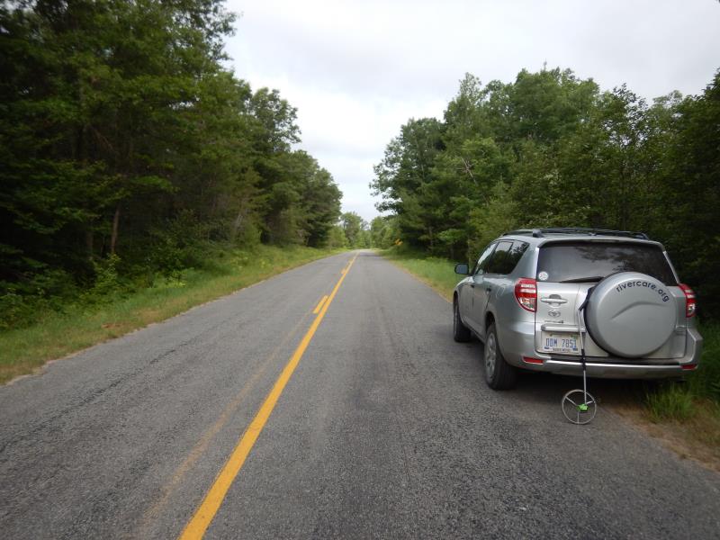
E 3 Mile Road
Newkirk Twp,
Lake County
Information collected by:
Site Location
GPS Coordinates: 44.034087
, -85.787092
T19N
R12W
Sec 18
Owned by State
Fish Passability 0
Perch Height: 0.1 ft.
Total Erosion: 0.1421 tons/year
Severity: Severe
Year Inventoried: 2019
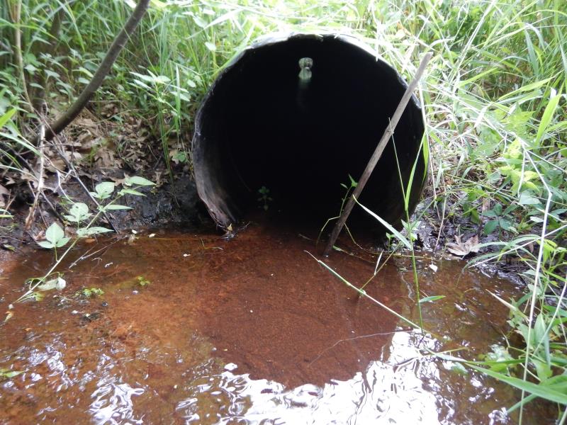
Inlet
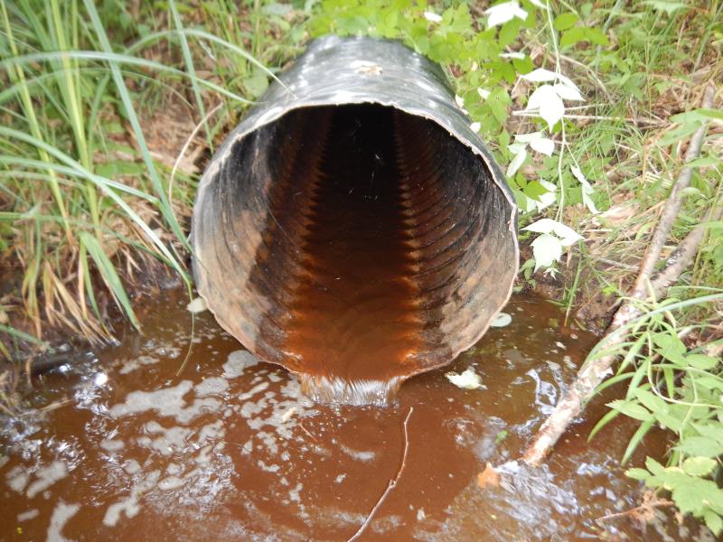
Outlet

Upstream Conditions
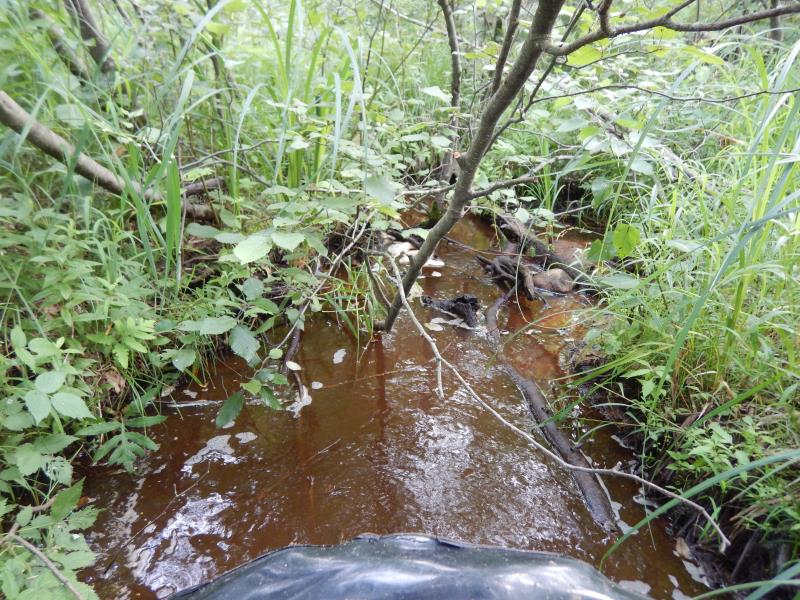
Downstream Conditions
Road Approach - Left
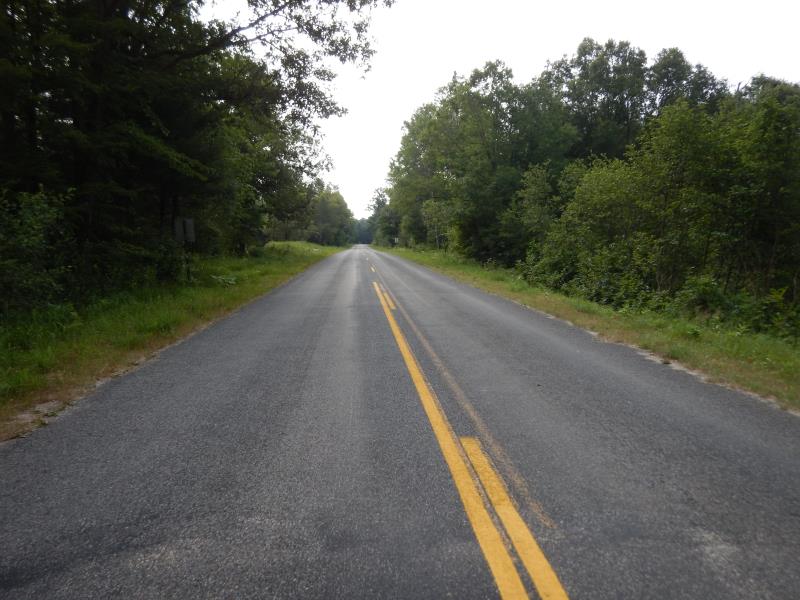
Road Approach - Right
Crossing Information
Type of Crossing: culvert(s)
Number of Structures: 1
Structure Shape: Round
Inlet Type: Projecting
Outlet Type: Freefall into Pool
Structure Material: Plastic
Structure Substrate: None
General Conditions: Good
Structure Interior: corrugated
Dimensions of Structure: Length 50 ft.
, Width 2 ft.
, Height 2 ft.
Perch Height: 0.1 ft.
Structure Inlet
Water Depth: 0.2 ft.
Embedded Depth of Structure: 0 ft.
Water Velocity*: 0.5 ft./sec.
Structure Outlet
Water Depth: 0.1 ft.
Embedded Depth of Structure: 0 ft.
Water Velocity*: 1.5 ft./sec.
*Water Velocities were measured 0.1 ft. below Surface
(with Meter)
Stream Information
Stream Flow: Less than 1/2 Bankfull
Riffle Information
Water Depth: 0.1 ft.
Bankfull Width: 3.5 ft.
Wetted Width: 2.5 ft.
Water Velocity: 0.2 ft./sec.
(Measured with Meter)
Dominant Substrate: Gravel
Road Information
Paved
County Road
Road Condition: Good
Road Width at Culvert: 25 ft.
Location of Low Point: At Stream
Runoff Path: Ditch
Embankments
Upstream
Fill Depth: 4 ft.
Slope: More than 1:2
Downstream
Fill Depth: 5 ft.
Slope: 1:1.5
Approaches
Left Approach
Length: 200 ft.
Slope: 1% to 5%
Vegetation: Heavy
LS Factor: 0.43
Erosion: 0.0711 tons/year
Right Approach
Length: 200 ft.
Slope: 1% to 5%
Vegetation: Heavy
LS Factor: 0.43
Erosion: 0.0711 tons/year
Erosion Information
Total Erosion at Crossing: 0.1421 tons/year
Summary Information
Fish Passability 0
Fish Passage is an area of concern for this site.
Perched culvert and minimal flow.
�