Road Stream Crossing Site LM041
Manistee River Watershed, Clancy Creek
N Wilderness Trail
Peacock Twp,
Lake County
Information collected by:
Site Location
GPS Coordinates: 44.054708
, -85.8127
T19N
R13W
Sec 12
Owned by State
Private
Private
Fish Passability 0
Perch Height: 0.3 ft.
Total Erosion: 0.8902 tons/year
Severity: Severe
Year Inventoried: 2019
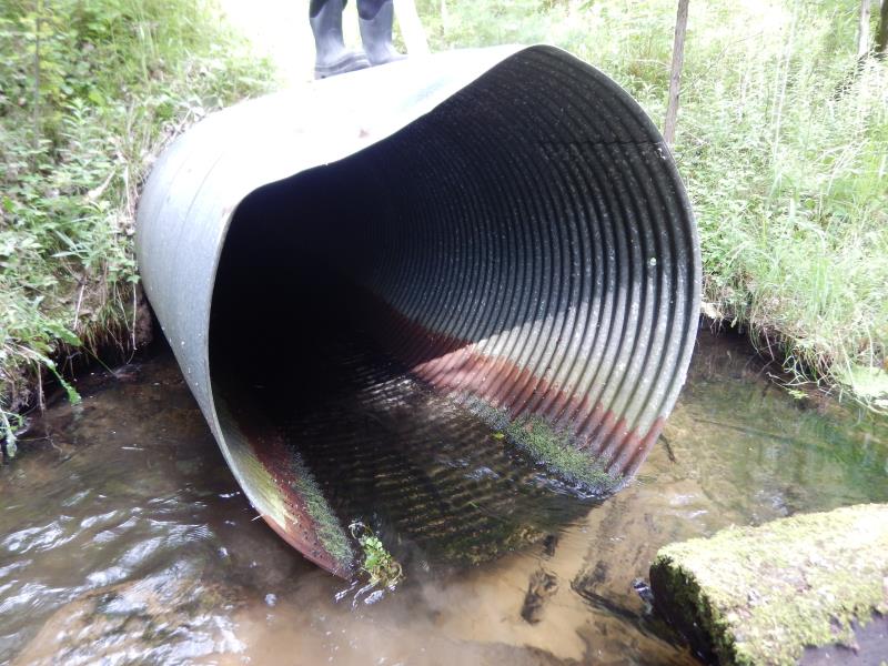
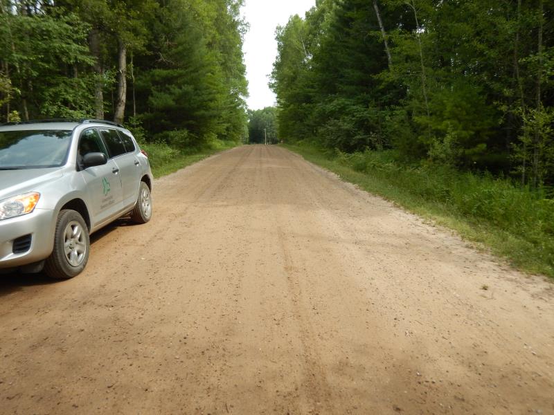
Inlet
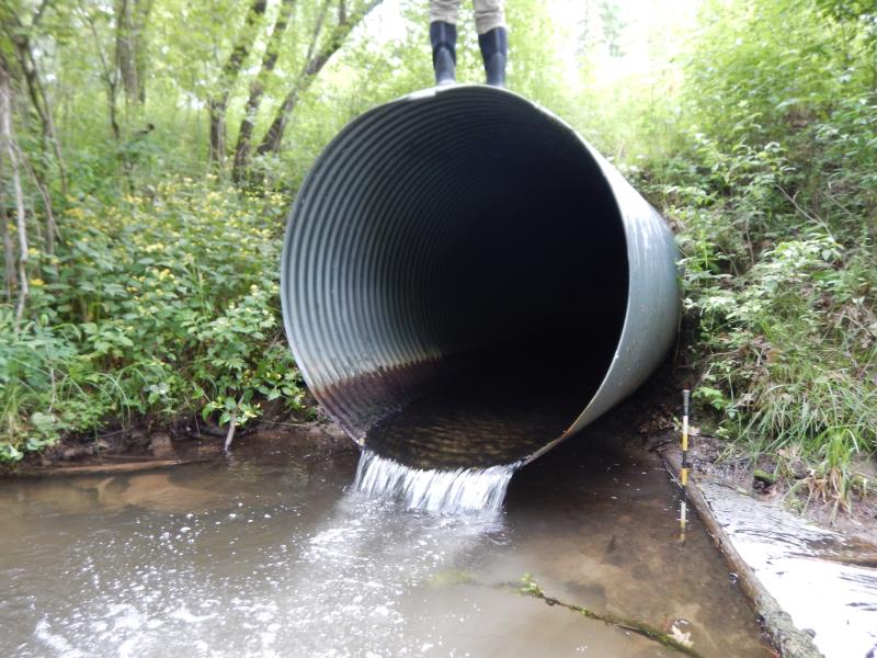
Outlet
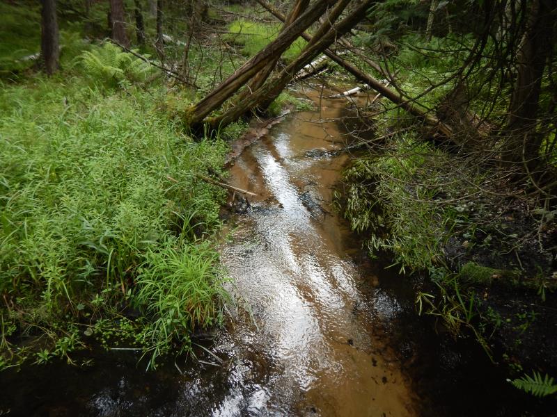
Upstream Conditions
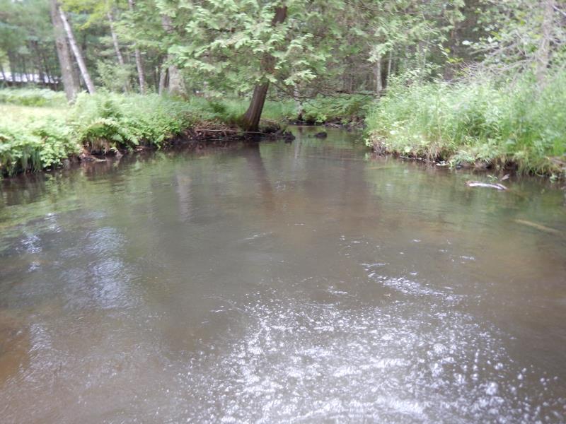
Downstream Conditions
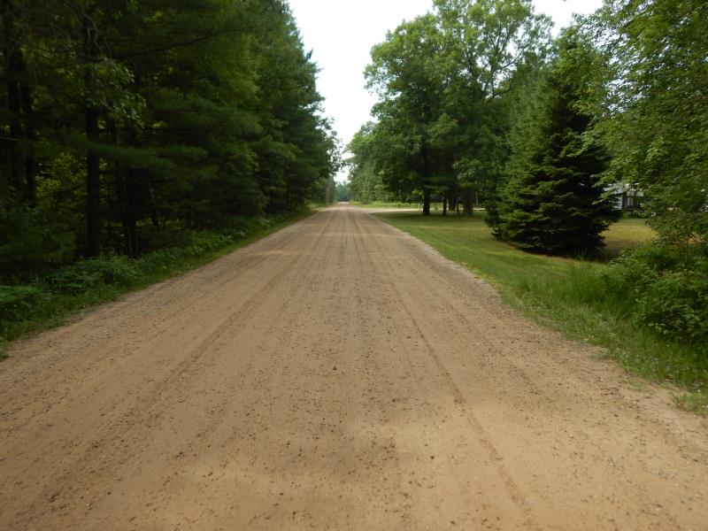
Road Approach - Left
Road Approach - Right
Crossing Information
Type of Crossing: culvert(s)
Number of Structures: 1
Structure Shape: Round
Inlet Type: Projecting
Outlet Type: Freefall into Pool
Structure Material: Metal
Structure Substrate: None
General Conditions: Good
Structure Interior: corrugated
Dimensions of Structure: Length 59.5 ft.
, Width 5 ft.
, Height 5 ft.
Perch Height: 0.3 ft.
Structure Inlet
Water Depth: 0.5 ft.
Embedded Depth of Structure: 0 ft.
Water Velocity*: 3 ft./sec.
Structure Outlet
Water Depth: 0.5 ft.
Embedded Depth of Structure: 0 ft.
Water Velocity*: 5.3 ft./sec.
*Water Velocities were measured 0.4 ft. below Surface
(with Meter)
Stream Information
Stream Flow: Less than 1/2 Bankfull
Scour Pool: Length 37 ft.
, Width 20 ft.
, Depth 4 ft.
Riffle Information
Water Depth: 0.4 ft.
Bankfull Width: 12 ft.
Wetted Width: 9 ft.
Water Velocity: 1 ft./sec.
(Measured with Meter)
Dominant Substrate: Sand
Road Information
Gravel
County Road
Road Condition: Good
Road Width at Culvert: 23 ft.
Location of Low Point: Other
Runoff Path: Ditch
Embankments
Upstream
Fill Depth: 3.8 ft.
Slope: 1:1.5
Downstream
Fill Depth: 4 ft.
Slope: 1:2
Approaches
Left Approach
Length: 50 ft.
Slope: Less Than 1%
Vegetation: Heavy
LS Factor: 0.05
Erosion: 0.0158 tons/year
Right Approach
Length: 300 ft.
Slope: 1% to 5%
Vegetation: Heavy
LS Factor: 0.46
Erosion: 0.8744 tons/year
Erosion Information
Total Erosion at Crossing: 0.8902 tons/year
Summary Information
Fish Passability 0
Fish Passage is an area of concern for this site.
Perched culvert.
�