Road Stream Crossing Site LM052
Manistee River Watershed, Stronach Creek
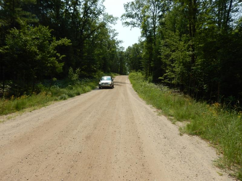
Astor Rd
Eden Twp,
Lake County
Information collected by:
Site Location
GPS Coordinates: 44.147476
, -85.864308
T20N
R13W
Sec 3
Fish Passability 0.9
Total Erosion: 1.5513 tons/year
Severity: Moderate
Year Inventoried: 2019
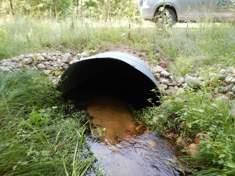
Inlet
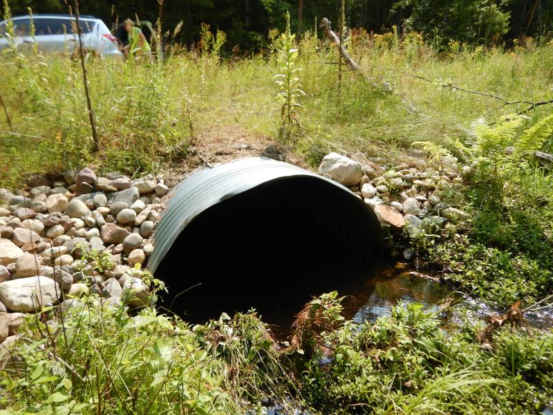
Outlet
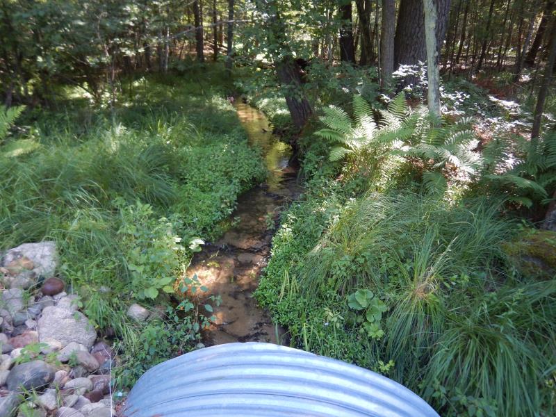
Upstream Conditions
.JPG)
Downstream Conditions
Road Approach - Left

Road Approach - Right
Crossing Information
Type of Crossing: culvert(s)
Number of Structures: 1
Structure Shape: Ellipse
Inlet Type: Projecting
Outlet Type: At Stream Grade
Structure Material: Metal
Structure Substrate: Sand
General Conditions: New
Structure Interior: corrugated
Dimensions of Structure: Length 50.6 ft.
, Width 6.2 ft.
, Height 4.3 ft.
Structure Inlet
Water Depth: 0.5 ft.
Embedded Depth of Structure: 1.1 ft.
Water Velocity*: 1.2 ft./sec.
Structure Outlet
Water Depth: 1 ft.
Embedded Depth of Structure: 0.4 ft.
Water Velocity*: 0.2 ft./sec.
*Water Velocities were measured 0.3 ft. below Surface
(with Meter)
Stream Information
Stream Flow: Bankfull
Riffle Information
Water Depth: 0.4 ft.
Bankfull Width: 4 ft.
Wetted Width: 4 ft.
Water Velocity: 1.1 ft./sec.
(Measured with Meter)
Dominant Substrate: Sand
Road Information
Gravel
County Road
Road Condition: Good
Road Width at Culvert: 17 ft.
Location of Low Point: At Stream
Runoff Path: Ditch
Embankments
Upstream
Fill Depth: 1 ft.
Slope: More than 1:2
Downstream
Fill Depth: 1 ft.
Slope: 1:2
Approaches
Left Approach
Length: 350 ft.
Slope: 1% to 5%
Vegetation: Partial
LS Factor: 0.575
Erosion: 0.9425 tons/year
Right Approach
Length: 250 ft.
Slope: 1% to 5%
Vegetation: Partial
LS Factor: 0.52
Erosion: 0.6088 tons/year
Erosion Information
Total Erosion at Crossing: 1.5513 tons/year
Summary Information
Fish Passability 0.9
�