Road Stream Crossing Site LM053
Manistee River Watershed, Stronach Creek
Peacock Rd
Eden Twp,
Lake County
Information collected by:
Site Location
GPS Coordinates: 44.1414326
, -85.884663
T20N
R13W
Sec 9
Owned by Private
Fish Passability 0.9
Total Erosion: 1.2038 tons/year
Severity: Moderate
Year Inventoried: 2019
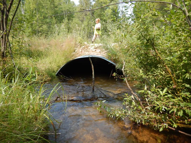
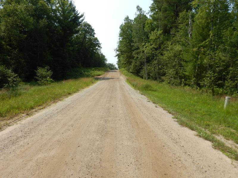
Inlet
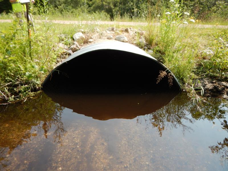
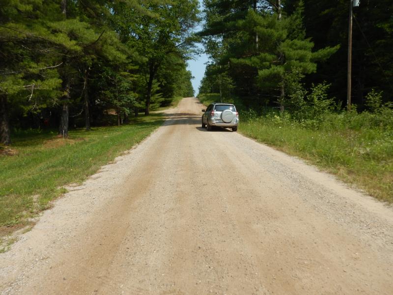
Outlet
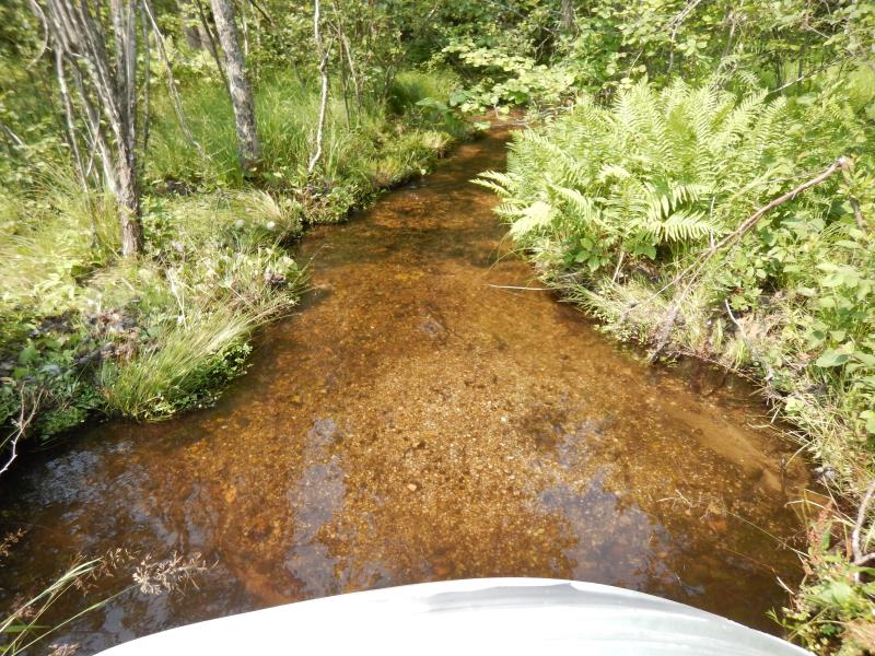
Upstream Conditions
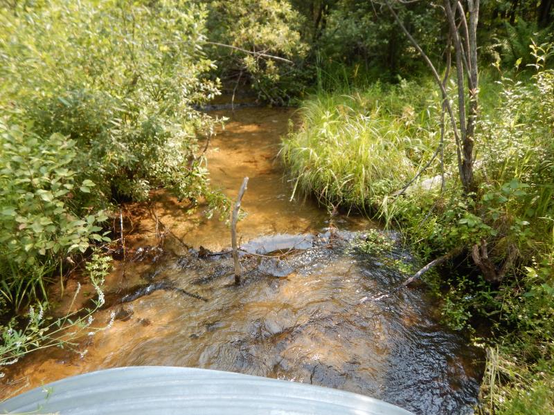
Downstream Conditions
Road Approach - Left
Road Approach - Right
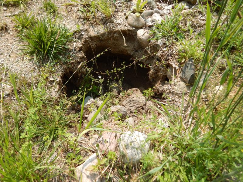
Erosion
Crossing Information
Type of Crossing: culvert(s)
Number of Structures: 1
Structure Shape: Open Bottom Arch
Inlet Type: Projecting
Outlet Type: At Stream Grade
Structure Material: Metal
Structure Substrate: Mixture
General Conditions: New
Structure Interior: corrugated
Dimensions of Structure: Length 60.3 ft.
, Width 8.8 ft.
, Height 3.5 ft.
Structure Inlet
Water Depth: 1.2 ft.
Embedded Depth of Structure: 0 ft.
Water Velocity*: 1 ft./sec.
Structure Outlet
Water Depth: 2.4 ft.
Embedded Depth of Structure: 0 ft.
Water Velocity*: 0.2 ft./sec.
*Water Velocities were measured 0.8 ft. below Surface
(with Meter)
Stream Information
Stream Flow: Less than Bankfull
Riffle Information
Water Depth: 0.6 ft.
Bankfull Width: 9 ft.
Wetted Width: 9 ft.
Water Velocity: 1.2 ft./sec.
(Measured with Meter)
Dominant Substrate: Sand
Road Information
Gravel
County Road
Road Condition: Fair
Road Width at Culvert: 17.5 ft.
Location of Low Point: At Stream
Runoff Path: Ditch
Embankments
Upstream
Fill Depth: 1 ft.
Slope: 1:2
Downstream
Fill Depth: 1 ft.
Slope: 1:2
Approaches
Left Approach
Length: 400 ft.
Slope: 1% to 5%
Vegetation: Partial
LS Factor: 0.6
Erosion: 1.157 tons/year
Right Approach
Length: 50 ft.
Slope: Less Than 1%
Vegetation: Partial
LS Factor: 0.05
Erosion: 0.0121 tons/year
Erosion Information
Total Erosion at Crossing: 1.2038 tons/year
Extent of Erosion: Moderate
Erosion is occurring and corrective actions can be installed to address the problem.
Location of Erosion | Erosion Dimensions | Eroded Material | Material Eroded | Total Erosion | ||
facing downstream | Length | Width | Depth | Reaching Stream? | (tons/year) | |
Right Downstream Embankment |
3 ft. |
2 ft. |
1.5 ft. |
no |
Sand |
0.0347 |
Summary Information
Fish Passability 0.9
Erosion is an area of concern for this site.
�