Road Stream Crossing Site LM054
Manistee River Watershed, Stronach Creek
N Irons Road
Eden Twp,
Lake County
Information collected by:
Site Location
GPS Coordinates: 44.144609
, -85.905082
T20N
R13W
Sec 8
Owned by Private
Fish Passability 0.5
Total Erosion: 0.0303 tons/year
Severity: Moderate
Year Inventoried: 2019
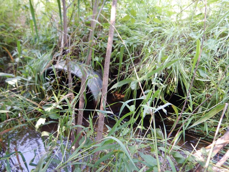
Inlet
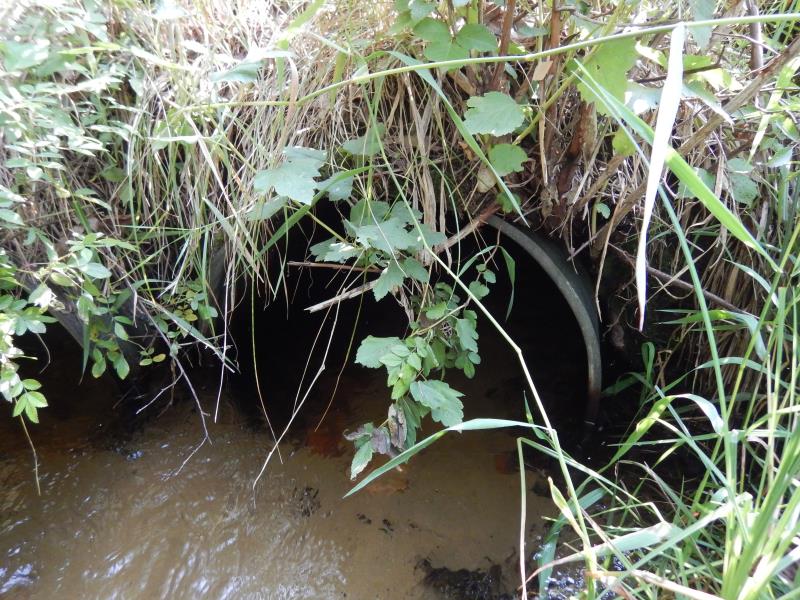
Outlet
.JPG)
Outlet
.JPG)
Upstream Conditions
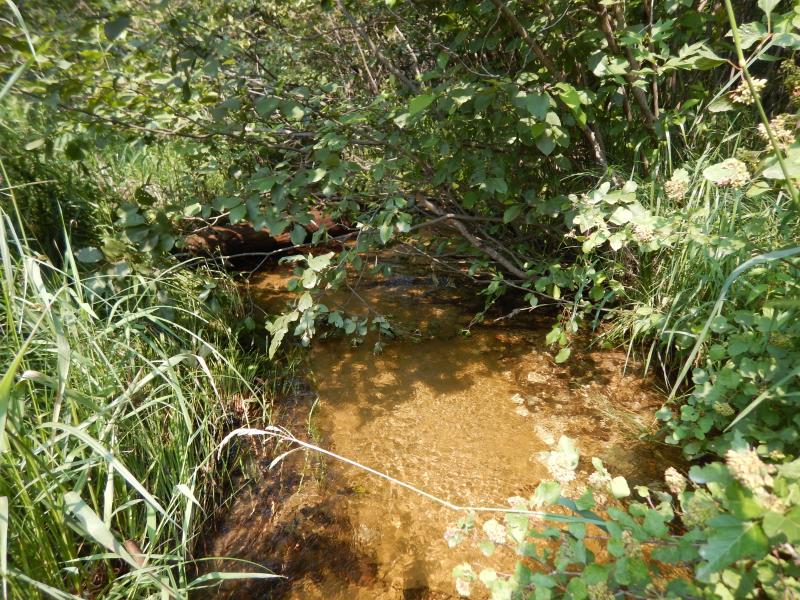
Downstream Conditions
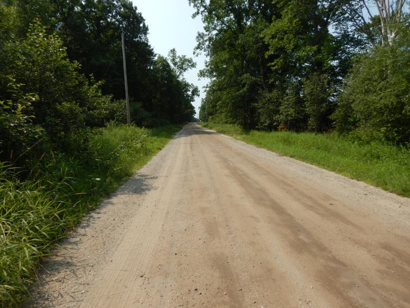
Road Approach - Left
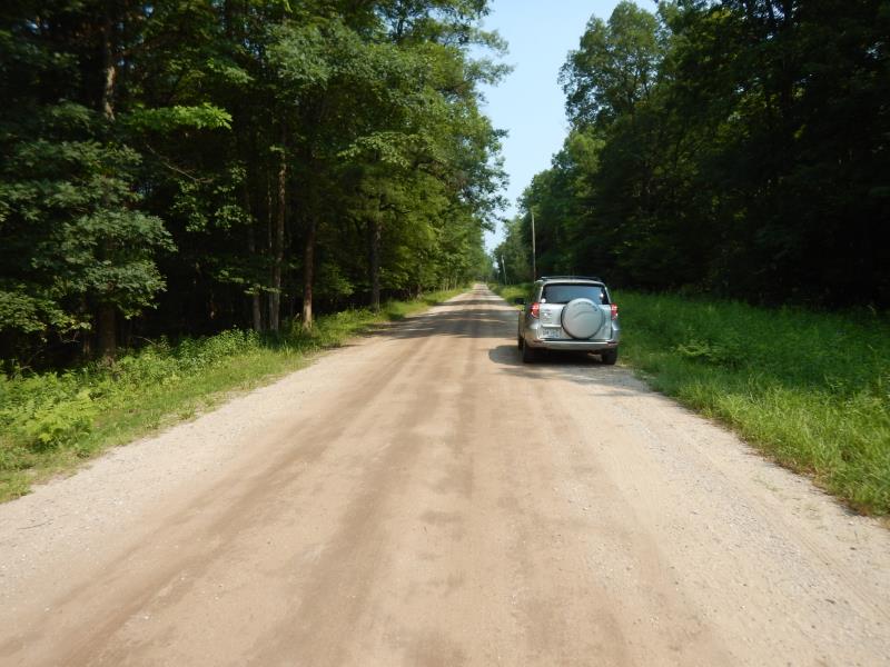
Road Approach - Right
Crossing Information
Type of Crossing: culvert(s)
Number of Structures: 2
Structure Shape: Round
Inlet Type: Projecting
Outlet Type: At Stream Grade
Structure Material: Metal
Structure Substrate: Sand
General Conditions: Good
Multiple Culverts/Spans | ||||
Culvert/Span | Width | Length | Height | Material |
1 |
2 ft. |
30 ft. |
2 ft. |
Metal |
2 |
2 ft. |
30 ft. |
2 ft. |
Metal |
Structure Interior: corrugated
Dimensions of Structure: Length 30 ft.
, Width 2 ft.
, Height 2 ft.
Structure Inlet
Water Depth: 0.8 ft.
Embedded Depth of Structure: 0 ft.
Water Velocity*: 2.2 ft./sec.
Structure Outlet
Water Depth: 1 ft.
Embedded Depth of Structure: 0 ft.
Water Velocity*: 1.7 ft./sec.
*Water Velocities were measured 0.4 ft. below Surface
(with Meter)
Additional Comments
Culvert measurements from culvert #2.
Stream Information
Stream Flow: Bankfull
Riffle Information
Water Depth: 0.8 ft.
Bankfull Width: 6.5 ft.
Wetted Width: 6.5 ft.
Water Velocity: 1.4 ft./sec.
(Measured with Meter)
Dominant Substrate: Sand
Road Information
Gravel
County Road
Road Condition: Fair
Road Width at Culvert: 22 ft.
Location of Low Point: Other
Runoff Path: Ditch
Embankments
Upstream
Fill Depth: 0.5 ft.
Slope: 1:2
Downstream
Fill Depth: 0.5 ft.
Slope: 1:2
Approaches
Left Approach
Length: 50 ft.
Slope: Less Than 1%
Vegetation: Heavy
LS Factor: 0.05
Erosion: 0.0152 tons/year
Right Approach
Length: 50 ft.
Slope: Less Than 1%
Vegetation: Heavy
LS Factor: 0.05
Erosion: 0.0152 tons/year
Erosion Information
Total Erosion at Crossing: 0.0303 tons/year
Summary Information
Fish Passability 0.5
�