Road Stream Crossing Site LM055
Manistee River Watershed, Stornach Creek
N Brooks Rd
Eden Twp,
Lake County
Information collected by:
Site Location
GPS Coordinates: 44.147161
, -85.921456
T20N
R13w
Sec 7
Owned by Private
Fish Passability 0.9
Total Erosion: 0.3967 tons/year
Severity: Minor
Year Inventoried: 2019
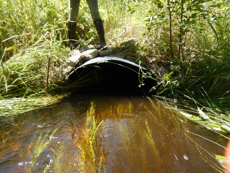
Inlet
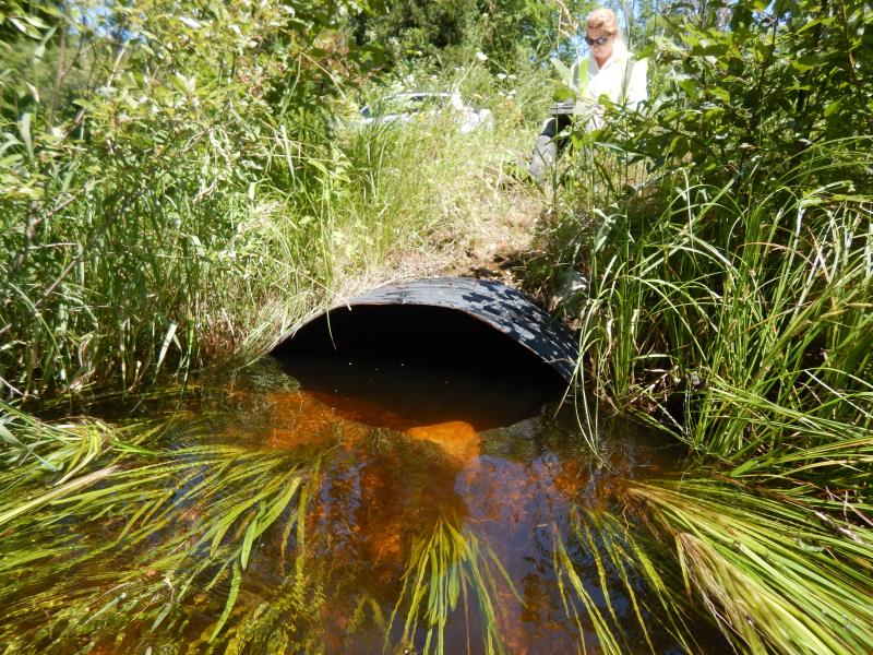
Outlet
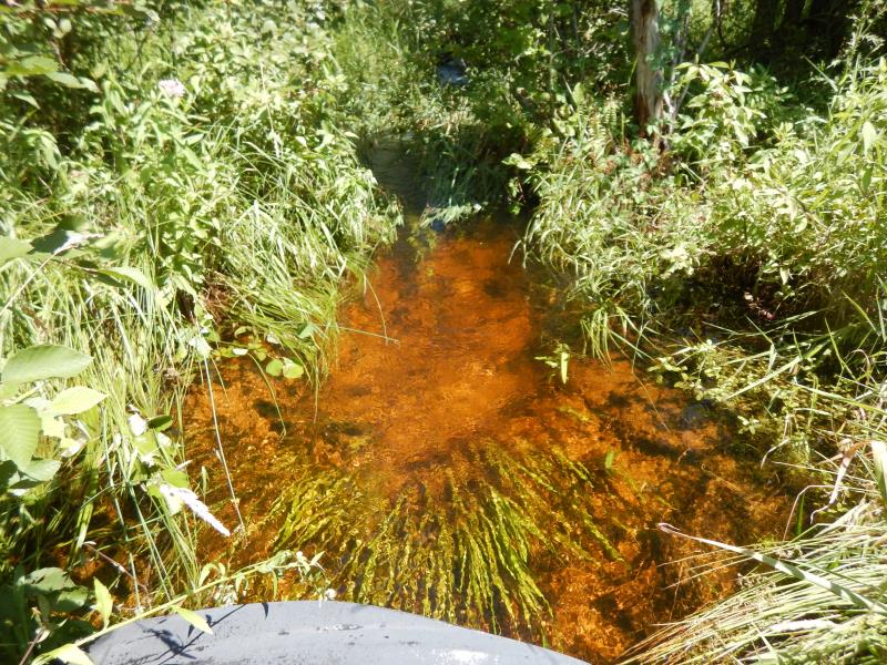
Upstream Conditions
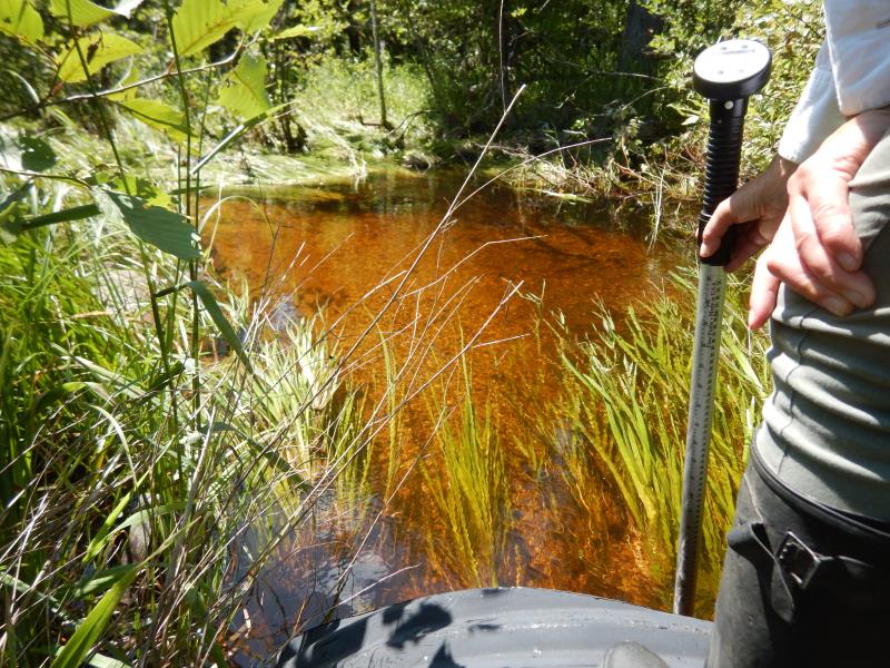
Downstream Conditions
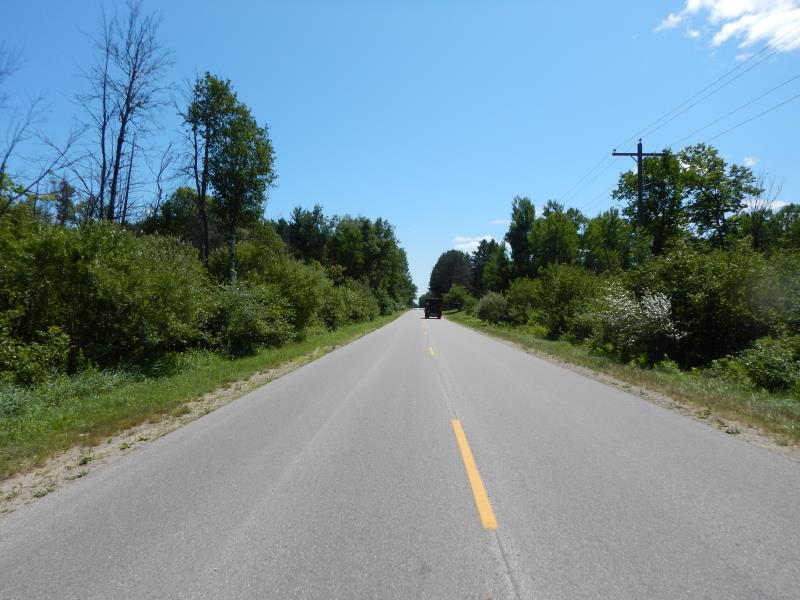
Road Approach - Left
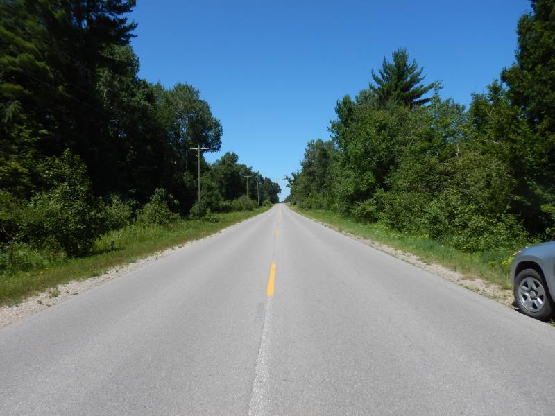
Road Approach - Right
Crossing Information
Type of Crossing: culvert(s)
Number of Structures: 1
Structure Shape: Ellipse
Inlet Type: Projecting
Outlet Type: At Stream Grade
Structure Material: Metal
Structure Substrate: Sand
General Conditions: Good
Structure Interior: corrugated
Dimensions of Structure: Length 60 ft.
, Width 4.7 ft.
, Height 3.3 ft.
Structure Inlet
Water Depth: 1.5 ft.
Embedded Depth of Structure: 0.1 ft.
Water Velocity*: 1.1 ft./sec.
Structure Outlet
Water Depth: 2 ft.
Embedded Depth of Structure: 0.1 ft.
Water Velocity*: 0.5 ft./sec.
*Water Velocities were measured 0.9 ft. below Surface
(with Meter)
Additional Comments
Additional notes due to extreme flooding
Stream Information
Stream Flow: Bankfull
Riffle Information
Water Depth: 1.7 ft.
Bankfull Width: 4.8 ft.
Wetted Width: 4.8 ft.
Water Velocity: 0.8 ft./sec.
(Measured with Meter)
Dominant Substrate: Sand
Road Information
Paved
County Road
Road Condition: Good
Road Width at Culvert: 24 ft.
Location of Low Point: At Stream
Runoff Path: Ditch
Embankments
Upstream
Fill Depth: 2.1 ft.
Slope: More than 1:2
Downstream
Fill Depth: 2.1 ft.
Slope: More than 1:2
Approaches
Left Approach
Length: 500 ft.
Slope: 1% to 5%
Vegetation: Heavy
LS Factor: 0.5
Erosion: 0.1983 tons/year
Right Approach
Length: 500 ft.
Slope: 1% to 5%
Vegetation: Heavy
LS Factor: 0.5
Erosion: 0.1983 tons/year
Erosion Information
Total Erosion at Crossing: 0.3967 tons/year
Summary Information
Fish Passability 0.9
These non-native species were observerd at this site: Autumn Olive and Bull Thistle
�