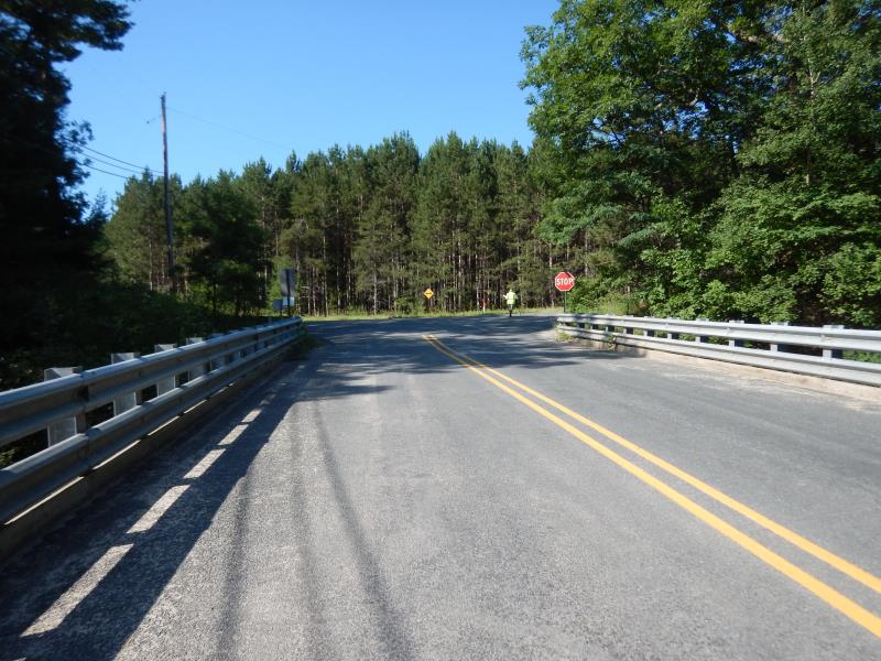
Road Stream Crossing Site LM059
Manistee River Watershed, Little Manistee River
Dewitt Bridge/ N Granger Rd
Elk Twp,
Lake County
Information collected by:
Site Location
GPS Coordinates: 44.115735
, -85.972829
T20N
R14W
Sec 22
Owned by Private
Fish Passability 0.5
Total Erosion: 0.0696 tons/year
Severity: Moderate
Year Inventoried: 2019
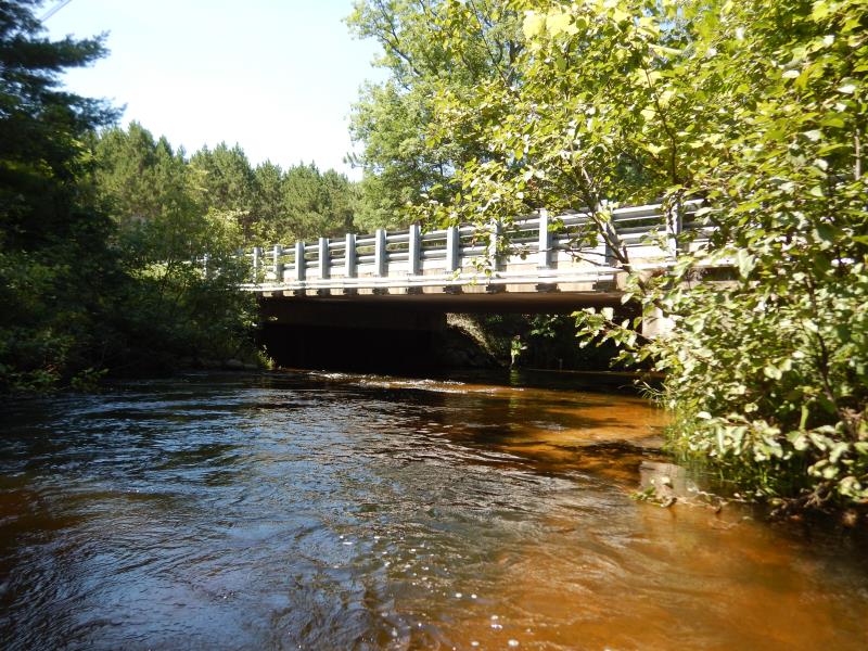
Inlet
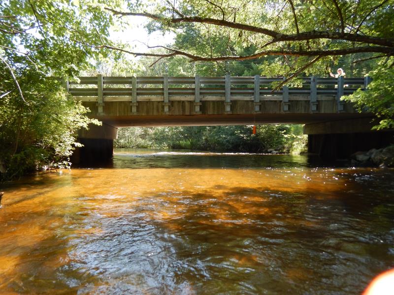
Outlet
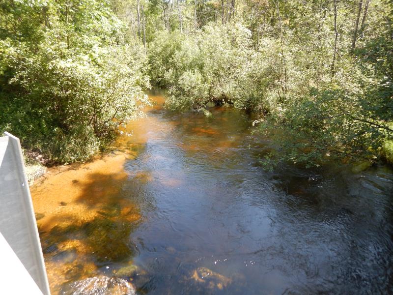
Upstream Conditions
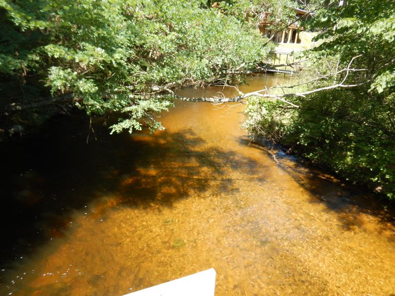
Downstream Conditions
Road Approach - Left
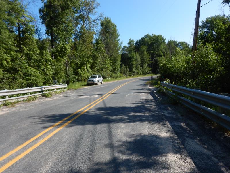
Road Approach - Right
Crossing Information
Type of Crossing: Bridge
Structure Shape: Open Bottom Square/Rectangle
Inlet Type: Headwall
Outlet Type: At Stream Grade
Structure Material: Concrete
Structure Substrate: Mixture
General Conditions: Good
Structure Interior: smooth
Dimensions of Structure: Length 31 ft.
, Width 75 ft.
, Height 9.8 ft.
Structure Inlet
Water Depth: 2.2 ft.
Embedded Depth of Structure: 0 ft.
Water Velocity*: 2.2 ft./sec.
Structure Outlet
Water Depth: 2.2 ft.
Embedded Depth of Structure: 0 ft.
Water Velocity*: 2.5 ft./sec.
*Water Velocities were measured 2 ft. below Surface
(with Meter)
Additional Comments
Additional notes due to extreme flooding
Stream Information
Stream Flow: Bankfull
Riffle Information
Water Depth: 2.3 ft.
Bankfull Width: 28.5 ft.
Wetted Width: 28.5 ft.
Water Velocity: 2.8 ft./sec.
(Measured with Meter)
Dominant Substrate: Gravel
Road Information
Paved
County Road
Road Condition: Good
Road Width at Culvert: 30 ft.
Location of Low Point: Other
Runoff Path: Ditch
Fill Depth: 0 ft.
Slope: Vertical
Fill Depth: 0 ft.
Slope: Vertical
Approaches
Left Approach
Length: 150 ft.
Slope: 1% to 5%
Vegetation: Heavy
LS Factor: 0.4
Erosion: 0.0595 tons/year
Right Approach
Length: 50 ft.
Slope: Less Than 1%
Vegetation: Heavy
LS Factor: 0.05
Erosion: 0.0025 tons/year
Erosion Information
Total Erosion at Crossing: 0.0696 tons/year
Extent of Erosion: Minor
Location of Erosion | Erosion Dimensions | Eroded Material | Material Eroded | Total Erosion | ||
facing downstream | Length | Width | Depth | Reaching Stream? | (tons/year) | |
Left Downstream Embankment |
10 ft. |
1 ft. |
0.2 ft. |
yes |
Sandy Loam |
0.0019 |
Right Downstream Embankment |
10 ft. |
1 ft. |
0.2 ft. |
yes |
Sandy Loam |
0.0019 |
Left Upstream Embankment |
10 ft. |
1 ft. |
0.2 ft. |
yes |
Sandy Loam |
0.0019 |
Right Upstream Embankment |
10 ft. |
1 ft. |
0.2 ft. |
yes |
Sandy Loam |
0.0019 |
Summary Information
Fish Passability 0.5
�