Road Stream Crossing Site LM064
Manistee River Watershed, Cool Creek
N Bass Lake Rd
Elk Twp,
Lake County
Information collected by:
Site Location
GPS Coordinates: 44.162306
, -85.981512
T20N
R14W
Sec 3
Owned by Private
Fish Passability 0.5
Total Erosion: 0.1022 tons/year
Severity: Moderate
Year Inventoried: 2019
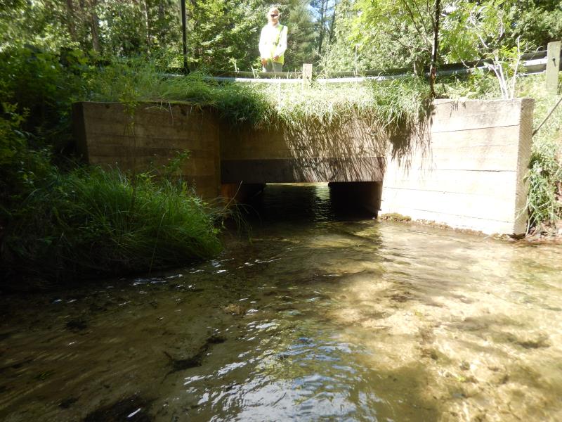
Inlet
Outlet
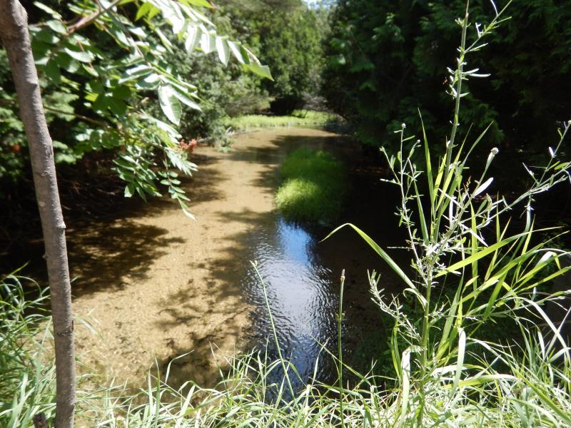
Upstream Conditions
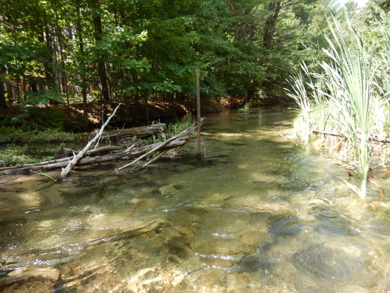
Downstream Conditions
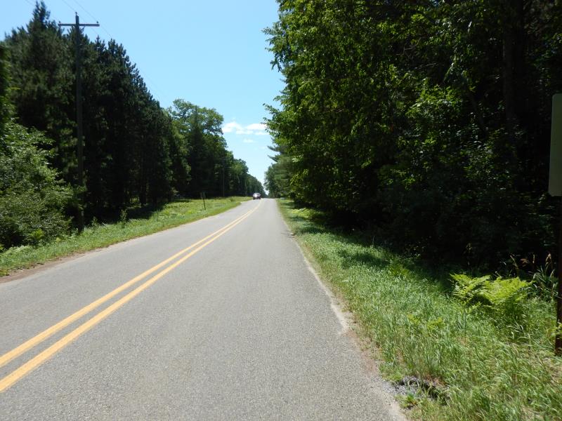
Road Approach - Left
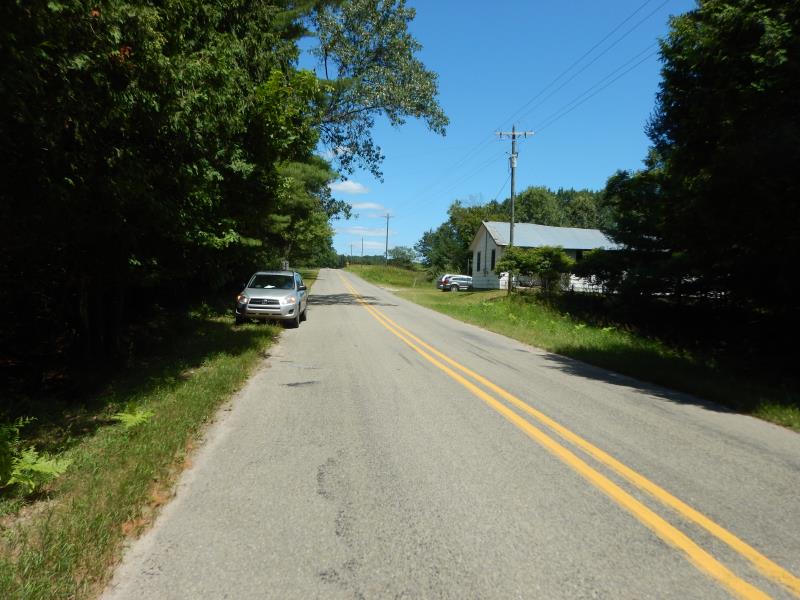
Road Approach - Right
Crossing Information
Type of Crossing: Bridge
Structure Shape: Open Bottom Square/Rectangle
Inlet Type: Wingwall 30-70 Degree
Outlet Type: At Stream Grade
Structure Material: Concrete
Structure Substrate: Sand
General Conditions: Fair
Structure Interior: smooth
Dimensions of Structure: Length 31.5 ft.
, Width 8.5 ft.
, Height 4.2 ft.
Structure Inlet
Water Depth: 1.6 ft.
Embedded Depth of Structure: 0 ft.
Water Velocity*: 2.1 ft./sec.
Structure Outlet
Water Depth: 1.5 ft.
Embedded Depth of Structure: 0 ft.
Water Velocity*: 1.7 ft./sec.
*Water Velocities were measured 1.5 ft. below Surface
(with Meter)
Additional Comments
Additional notes due to extreme flooding; Fence downstream precariously unstable
Stream Information
Stream Flow: Bankfull
Riffle Information
Water Depth: 0.7 ft.
Bankfull Width: 31 ft.
Wetted Width: 31 ft.
Water Velocity: 1.4 ft./sec.
(Measured with Meter)
Dominant Substrate: Sand
Road Information
Paved
County Road
Road Condition: Fair
Road Width at Culvert: 22 ft.
Location of Low Point: Other
Runoff Path: Ditch
Embankments
Upstream
Fill Depth: 0.5 ft.
Slope: Vertical
Downstream
Fill Depth: 0.5 ft.
Slope: Vertical
Approaches
Left Approach
Length: 300 ft.
Slope: 1% to 5%
Vegetation: Heavy
LS Factor: 0.46
Erosion: 0.1004 tons/year
Right Approach
Length: 50 ft.
Slope: Less Than 1%
Vegetation: Heavy
LS Factor: 0.05
Erosion: 0.0018 tons/year
Erosion Information
Total Erosion at Crossing: 0.1022 tons/year
Summary Information
Fish Passability 0.5
These non-native species were observerd at this site: Bull Thistle
�