Road Stream Crossing Site LM068
Manistee River Watershed, Stronach Creek
N Hamilton Rd
Elk Twp,
Lake County
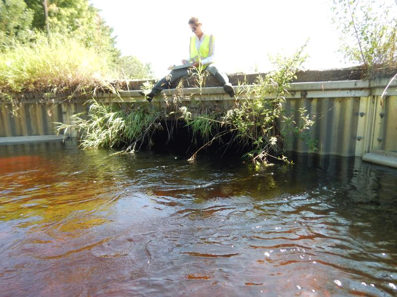
Information collected by:
Site Location
GPS Coordinates: 44.1506
, -86.0038
T20N
R14W
Sec 5
Fish Passability 0.9
Total Erosion: 0.0052 tons/year
Severity: Minor
Year Inventoried: 2019
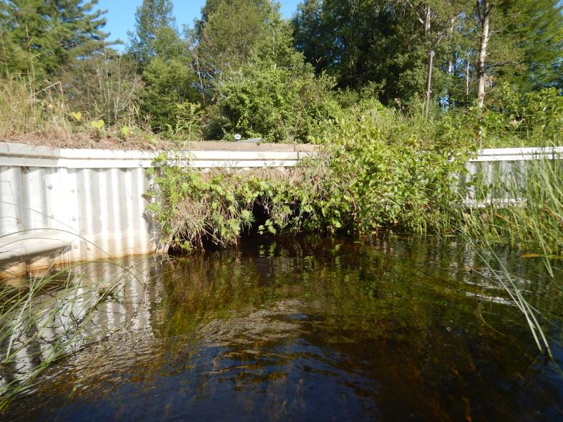
Inlet
Inlet
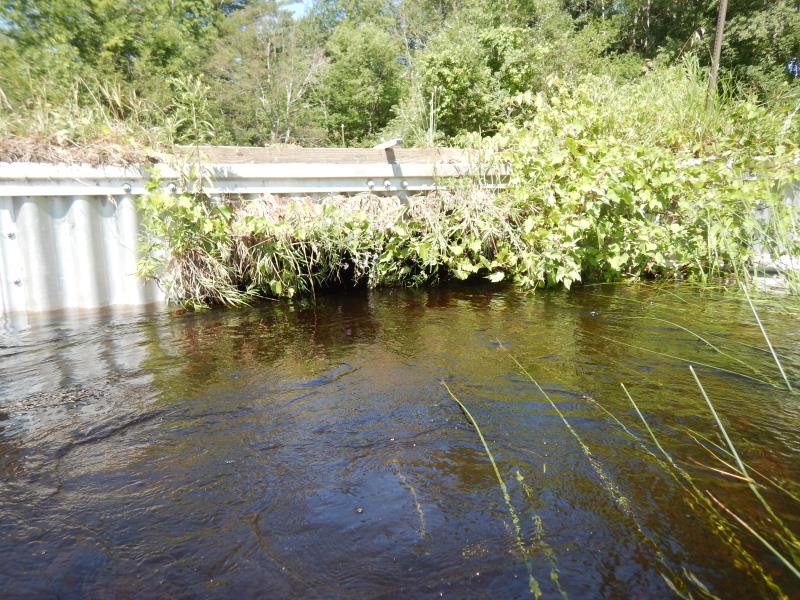
Outlet
Outlet
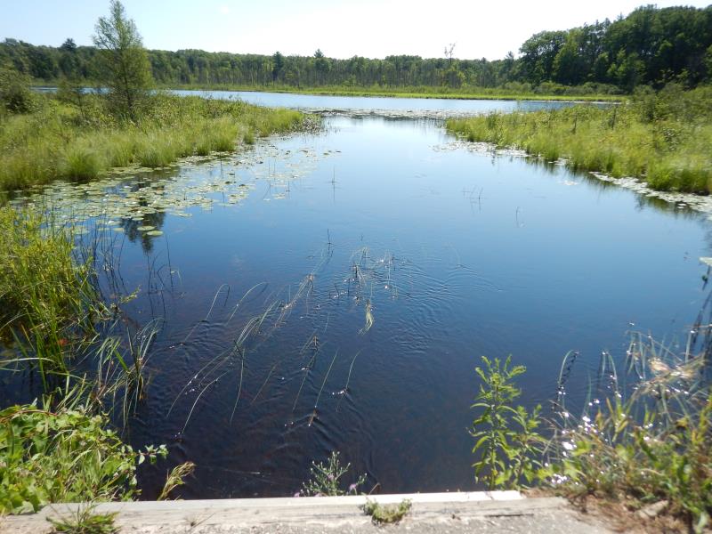
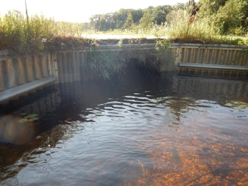
Upstream Conditions
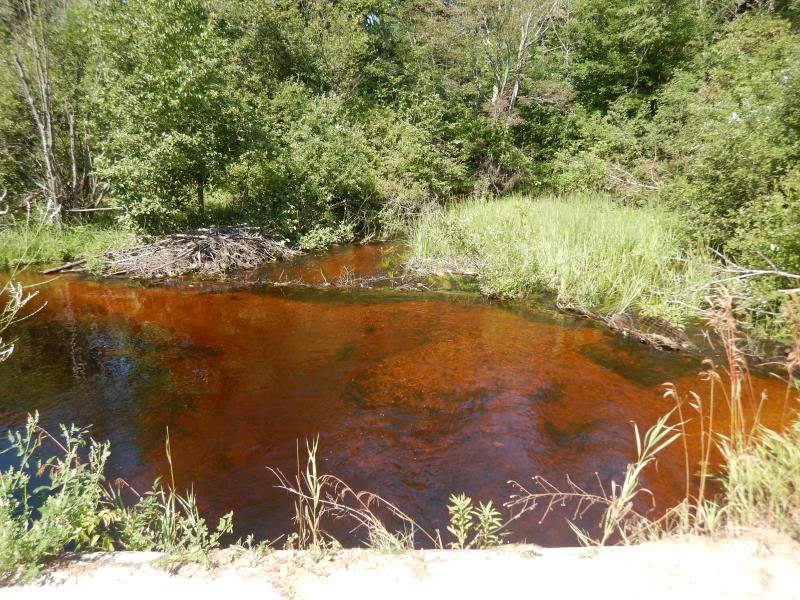
Downstream Conditions
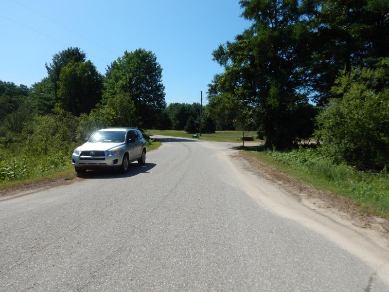
Road Approach - Left
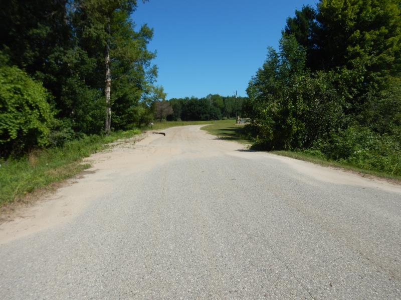
Road Approach - Right
Crossing Information
Type of Crossing: culvert(s)
Number of Structures: 1
Structure Shape: Pipe Arch
Inlet Type: Wingwall 30-70 Degree
Outlet Type: At Stream Grade
Structure Material: Metal
Structure Substrate: Gravel
General Conditions: Good
Structure Interior: corrugated
Dimensions of Structure: Length 32 ft.
, Width 9.5 ft.
, Height 4.1 ft.
Structure Inlet
Water Depth: 2.3 ft.
Embedded Depth of Structure: 0.1 ft.
Water Velocity*: 0.9 ft./sec.
Structure Outlet
Water Depth: 2.3 ft.
Embedded Depth of Structure: 0 ft.
Water Velocity*: 0.8 ft./sec.
*Water Velocities were measured 2.2 ft. below Surface
(with Meter)
Additional Comments
Additional notes due to extreme flooding; arch opening submerged
Stream Information
Stream Flow: Bankfull
Riffle Information
Water Depth: 0.8 ft.
Bankfull Width: 27 ft.
Wetted Width: 27 ft.
Water Velocity: 1.8 ft./sec.
(Measured with Meter)
Dominant Substrate: Gravel
Road Information
Paved
County Road
Road Condition: Good
Road Width at Culvert: 31.5 ft.
Location of Low Point: Other
Runoff Path: Ditch
Fill Depth: 0 ft.
Slope: Vertical
Fill Depth: 0 ft.
Slope: Vertical
Approaches
Left Approach
Length: 50 ft.
Slope: Less Than 1%
Vegetation: Heavy
LS Factor: 0.05
Erosion: 0.0026 tons/year
Right Approach
Length: 50 ft.
Slope: Less Than 1%
Vegetation: Heavy
LS Factor: 0.05
Erosion: 0.0026 tons/year
Erosion Information
Total Erosion at Crossing: 0.0052 tons/year
Summary Information
Fish Passability 0.9
Fish Passage is an area of concern for this site.
Beaver Dam
These non-native species were observerd at this site: Autumn Olive and Knappweed
�