Road Stream Crossing Site LM069
Manistee River Watershed, Stronach Creek
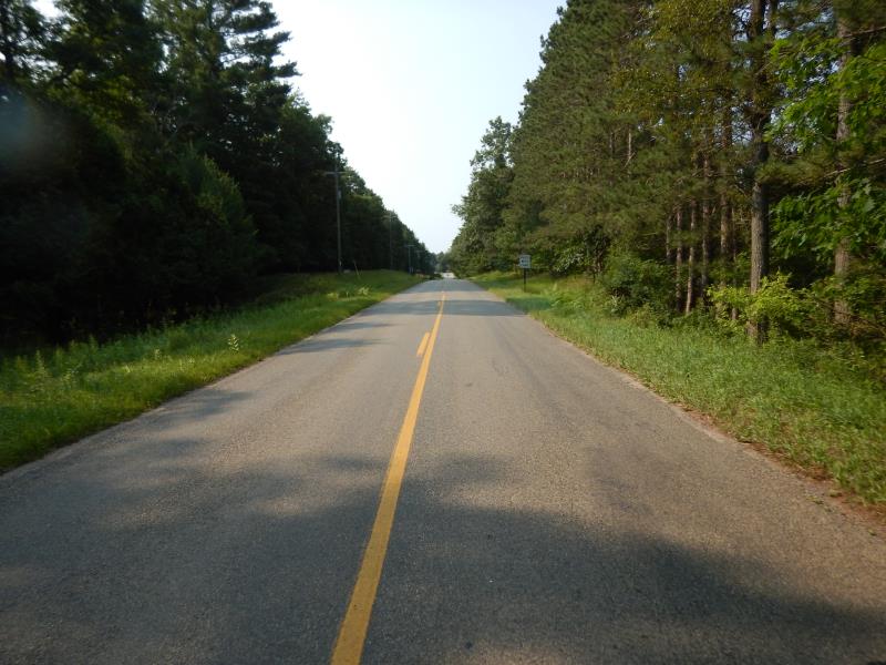
N Turner Road
Elk Twp,
Lake County
Information collected by:
Site Location
GPS Coordinates: 44.153955
, -85.981863
T20N
R14W
Sec 4
Owned by Private
Fish Passability 0.5
Total Erosion: 0.0502 tons/year
Severity: Moderate
Year Inventoried: 2019
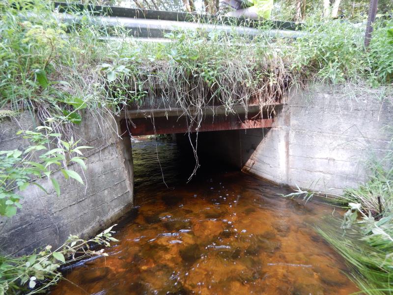
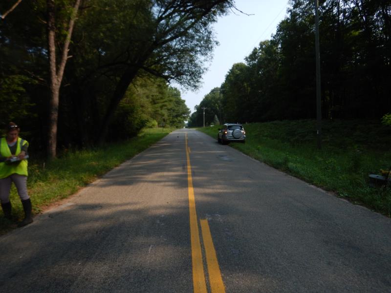
Inlet
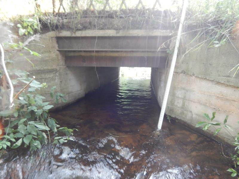
Outlet
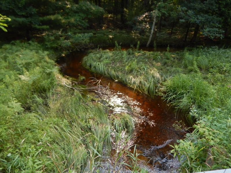
Upstream Conditions
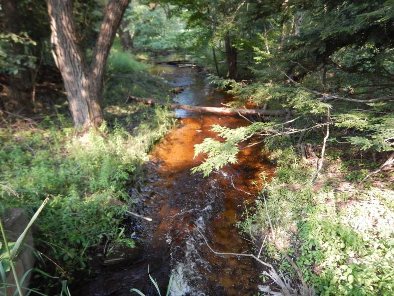
Downstream Conditions
Road Approach - Left
Road Approach - Right
Crossing Information
Type of Crossing: Bridge
Structure Shape: Open Bottom Square/Rectangle
Inlet Type: Wingwall 30-70 Degree
Outlet Type: At Stream Grade
Structure Material: Concrete
Structure Substrate: Mixture
General Conditions: Fair
Structure Interior: smooth
Dimensions of Structure: Length 26.5 ft.
, Width 6.5 ft.
, Height 4 ft.
Structure Inlet
Water Depth: 1.1 ft.
Embedded Depth of Structure: 0 ft.
Water Velocity*: 2.5 ft./sec.
Structure Outlet
Water Depth: 1 ft.
Embedded Depth of Structure: 0 ft.
Water Velocity*: 2.6 ft./sec.
*Water Velocities were measured 0.9 ft. below Surface
(with Meter)
Stream Information
Stream Flow: Bankfull
Riffle Information
Water Depth: 1.5 ft.
Bankfull Width: 8.5 ft.
Wetted Width: 8.5 ft.
Water Velocity: 1.2 ft./sec.
(Measured with Meter)
Dominant Substrate: Sand
Road Information
Paved
County Road
Road Condition: Good
Road Width at Culvert: 20 ft.
Location of Low Point: At Stream
Runoff Path: Ditch
Fill Depth: 0 ft.
Slope: Vertical
Fill Depth: 0 ft.
Slope: Vertical
Approaches
Left Approach
Length: 100 ft.
Slope: 1% to 5%
Vegetation: Heavy
LS Factor: 0.38
Erosion: 0.0251 tons/year
Right Approach
Length: 100 ft.
Slope: 1% to 5%
Vegetation: Heavy
LS Factor: 0.38
Erosion: 0.0251 tons/year
Erosion Information
Total Erosion at Crossing: 0.0502 tons/year
Summary Information
Fish Passability 0.5
These non-native species were observerd at this site: Thistle
�