Road Stream Crossing Site LM072
Manistee River Watershed, Stronach Creek
W 11 Mile Rd
Elk Twp,
Lake County
Information collected by:
Site Location
GPS Coordinates: 44.148343
, -85.993754
T20N
R14W
Sec 4
Fish Passability 0
Total Erosion: 0.0644 tons/year
Severity: Severe
Year Inventoried: 2019
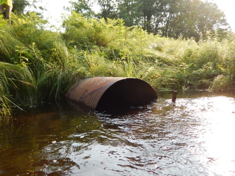
Inlet
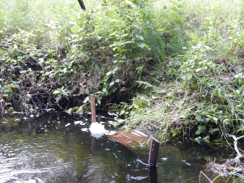
Outlet
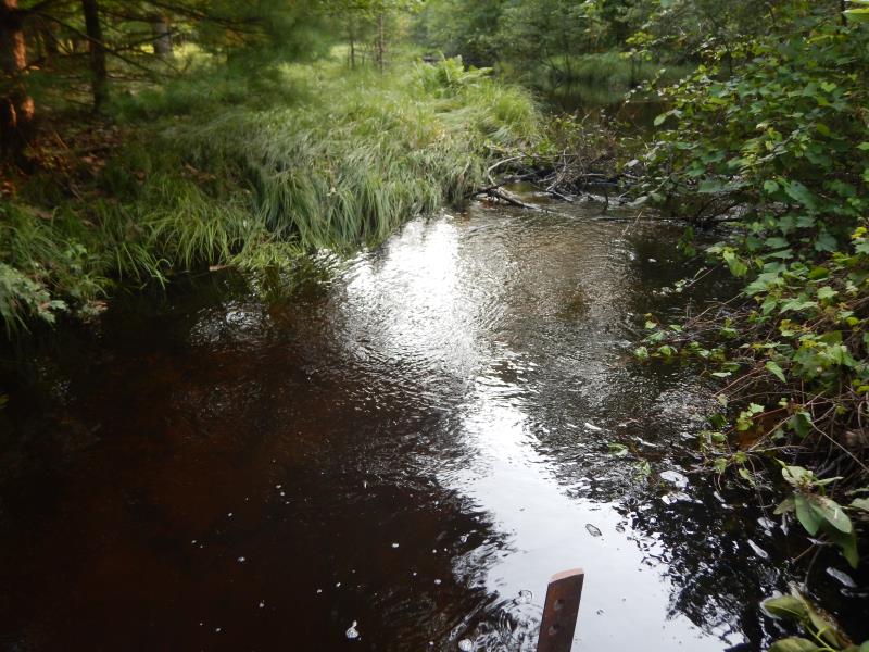
Upstream Conditions
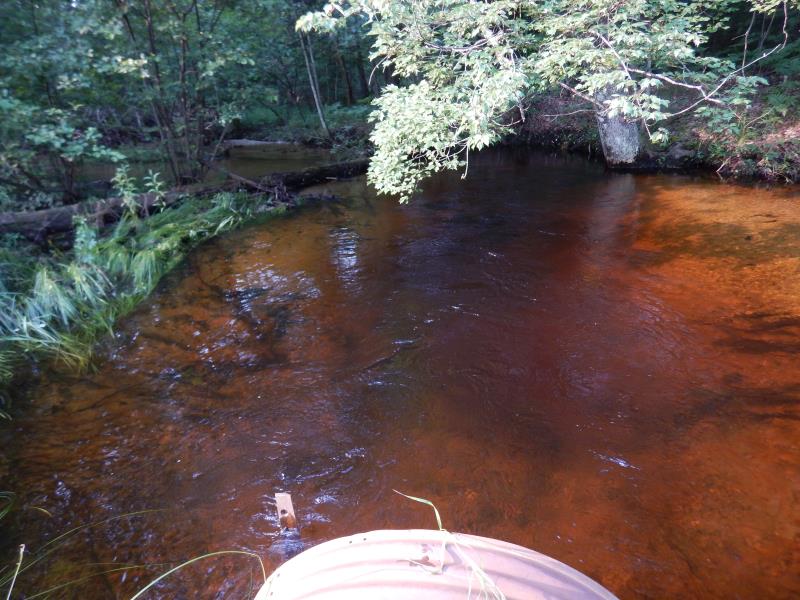
Downstream Conditions
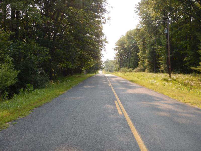
Road Approach - Left
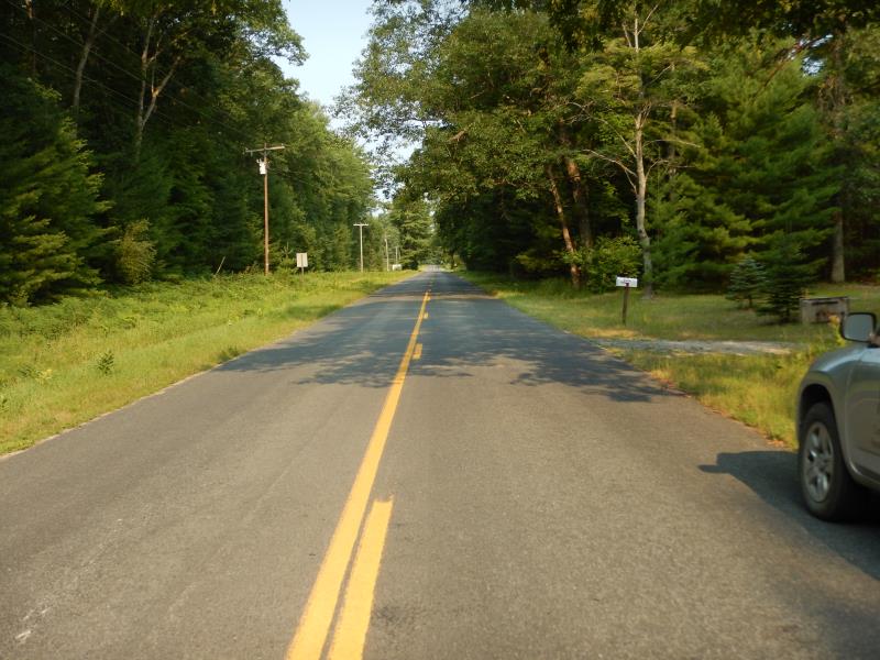
Road Approach - Right
Crossing Information
Type of Crossing: culvert(s)
Number of Structures: 1
Structure Shape: Ellipse
Inlet Type: Projecting
Outlet Type: At Stream Grade
Structure Material: Metal
Structure Substrate: Gravel
General Conditions: Fair
Structure Interior: corrugated
Dimensions of Structure: Length 60 ft.
, Width 4 ft.
, Height 2.8 ft.
Structure Inlet
Water Depth: 3.3 ft.
Embedded Depth of Structure: 0 ft.
Water Velocity*: 1.9 ft./sec.
Structure Outlet
Water Depth: 1.4 ft.
Embedded Depth of Structure: 0 ft.
Water Velocity*: 3.1 ft./sec.
*Water Velocities were measured 1.5 ft. below Surface
(with Meter)
Additional Comments
Inlet submerged, flooding, but also seems 'tipped down'
Stream Information
Stream Flow: Bankfull
Scour Pool: Length 35 ft.
, Width 35 ft.
, Depth 4.5 ft.
Riffle Information
Water Depth: 1.9 ft.
Bankfull Width: 25 ft.
Wetted Width: 25 ft.
Water Velocity: 0.8 ft./sec.
(Measured with Meter)
Dominant Substrate: Sand
Road Information
Paved
County Road
Road Condition: Good
Road Width at Culvert: 22 ft.
Location of Low Point: At Stream
Runoff Path: Ditch
Embankments
Upstream
Fill Depth: 5 ft.
Slope: 1:1.5
Downstream
Fill Depth: 5.5 ft.
Slope: 1:2
Approaches
Left Approach
Length: 200 ft.
Slope: 1% to 5%
Vegetation: Heavy
LS Factor: 0.43
Erosion: 0.0625 tons/year
Right Approach
Length: 50 ft.
Slope: Less Than 1%
Vegetation: Heavy
LS Factor: 0.05
Erosion: 0.0018 tons/year
Erosion Information
Total Erosion at Crossing: 0.0644 tons/year
Summary Information
Fish Passability 0
�