Road Stream Crossing Site LM075
Manistee River Watershed, Little Manistee River Tributary
W 11 Mile Rd
Elk Twp,
Lake County
Information collected by:
Site Location
GPS Coordinates: 44.149376
, -86.019202
T20N
R14W
Sec 5
Fish Passability 0.9
Total Erosion: 1.7769 tons/year
Severity: Moderate
Year Inventoried: 2019
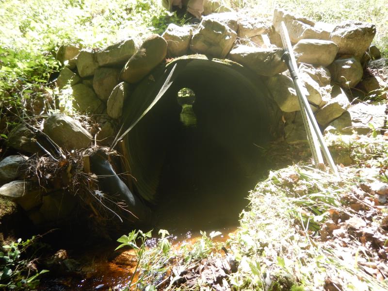
Inlet
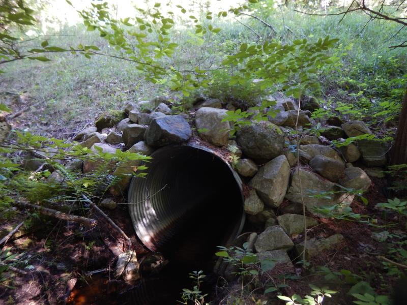
Outlet
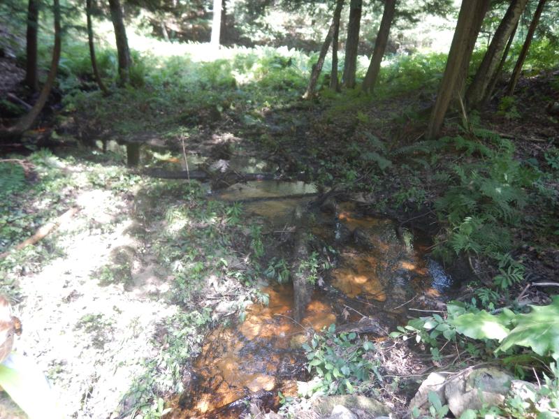
Upstream Conditions
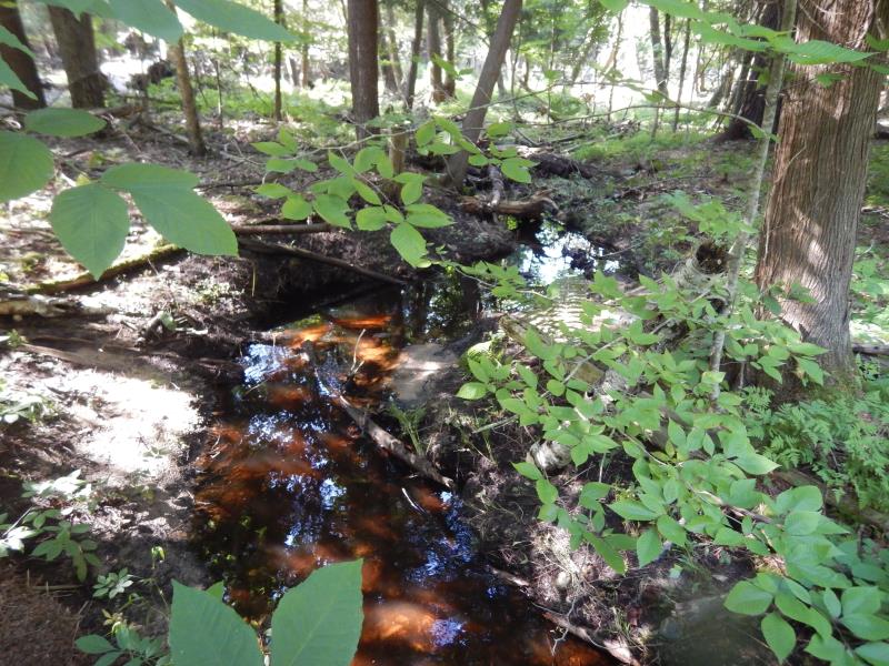
Downstream Conditions
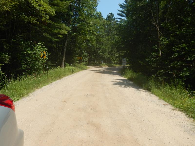
Road Approach - Left
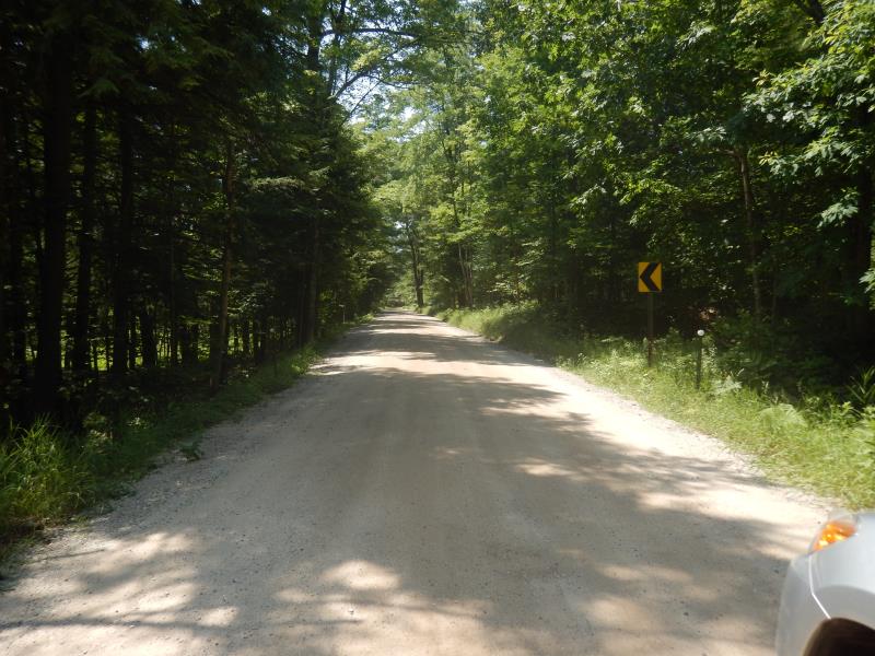
Road Approach - Right
Crossing Information
Type of Crossing: culvert(s)
Number of Structures: 1
Structure Shape: Round
Inlet Type: Projecting
Outlet Type: At Stream Grade
Structure Material: Metal
Structure Substrate: Sand
General Conditions: Good
Structure Interior: corrugated
Dimensions of Structure: Length 60 ft.
, Width 4.5 ft.
, Height 4.5 ft.
Structure Inlet
Water Depth: 0.4 ft.
Embedded Depth of Structure: 0.1 ft.
Water Velocity*: 0.1 ft./sec.
Structure Outlet
Water Depth: 0.2 ft.
Embedded Depth of Structure: 0.1 ft.
Water Velocity*: 0.5 ft./sec.
*Water Velocities were measured 0.2 ft. below Surface
(with Meter)
Additional Comments
Additional notes due to extreme flooding
Stream Information
Stream Flow: Bankfull
Riffle Information
Water Depth: 0.4 ft.
Bankfull Width: 4.2 ft.
Wetted Width: 4.2 ft.
Water Velocity: 0.1 ft./sec.
(Measured with Meter)
Dominant Substrate: Sand
Road Information
Gravel
County Road
Road Condition: Fair
Road Width at Culvert: 20 ft.
Location of Low Point: Other
Runoff Path: Ditch
Embankments
Upstream
Fill Depth: 10 ft.
Slope: 1:1
Downstream
Fill Depth: 10 ft.
Slope: 1:1
Approaches
Left Approach
Length: 50 ft.
Slope: Less Than 1%
Vegetation: Partial
LS Factor: 0.05
Erosion: 0.0138 tons/year
Right Approach
Length: 500 ft.
Slope: 1% to 5%
Vegetation: Partial
LS Factor: 0.64
Erosion: 1.7631 tons/year
Erosion Information
Total Erosion at Crossing: 1.7769 tons/year
Summary Information
Fish Passability 0.9
�