Road Stream Crossing Site LM077
Manistee River Watershed, Little Manistee River Tributary Tank Creek
S Skocelas Rd/ 9 Mile Bridge
Stronach Twp,
Manistee County
Information collected by:
Site Location
GPS Coordinates: 44.171367
, -86.103238
T21N
R15W
Sec 34
Fish Passability 0.5
Total Erosion: 0.3625 tons/year
Severity: Moderate
Year Inventoried: 2019
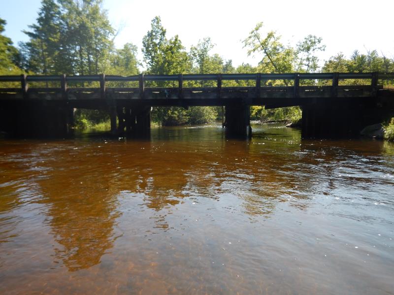
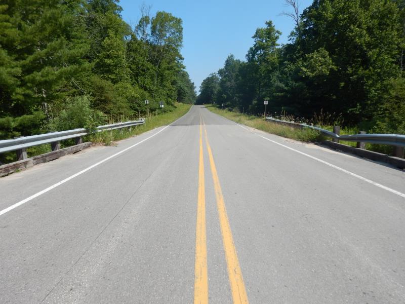
Inlet
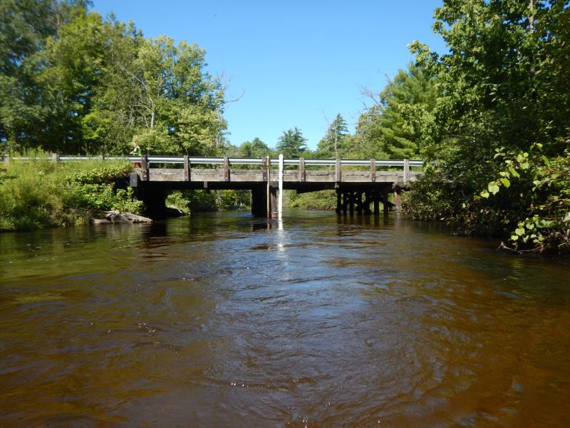
Outlet
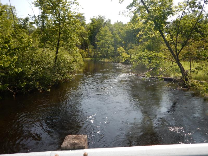
Upstream Conditions
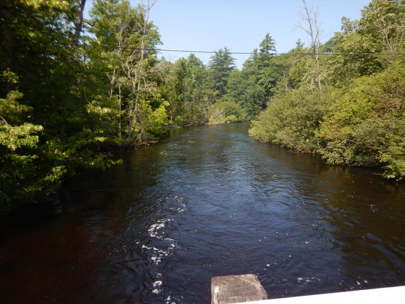
Downstream Conditions
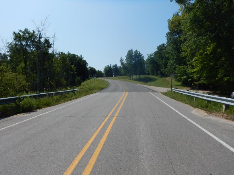
Road Approach - Left
Road Approach - Right
Crossing Information
Type of Crossing: Bridge
Structure Shape: Open Bottom Square/Rectangle
Inlet Type: Wingwall 30-70 Degree
Outlet Type: At Stream Grade
Structure Material: Wood
Structure Substrate: Gravel
General Conditions: Good
Structure Interior: smooth
Dimensions of Structure: Length 34 ft.
, Width 64 ft.
, Height 9 ft.
Structure Inlet
Water Depth: 2.5 ft.
Embedded Depth of Structure: 0 ft.
Water Velocity*: 2.5 ft./sec.
Structure Outlet
Water Depth: 3.5 ft.
Embedded Depth of Structure: 0 ft.
Water Velocity*: 2.5 ft./sec.
*Water Velocities were measured 1.5 ft. below Surface
(with Meter)
Additional Comments
Additional notes due to extreme flooding
Stream Information
Stream Flow: Bankfull
Riffle Information
Water Depth: 2.4 ft.
Bankfull Width: 43.5 ft.
Wetted Width: 43.5 ft.
Water Velocity: 3.1 ft./sec.
(Measured with Meter)
Dominant Substrate: Sand
Road Information
Paved
County Road
Road Condition: Good
Road Width at Culvert: 34 ft.
Location of Low Point: Other
Runoff Path: Ditch
Fill Depth: 0 ft.
Slope: Vertical
Fill Depth: 0 ft.
Slope: Vertical
Approaches
Left Approach
Length: 500 ft.
Slope: 1% to 5%
Vegetation: Partial
LS Factor: 0.64
Erosion: 0.3597 tons/year
Right Approach
Length: 50 ft.
Slope: Less Than 1%
Vegetation: Heavy
LS Factor: 0.05
Erosion: 0.0028 tons/year
Erosion Information
Total Erosion at Crossing: 0.3625 tons/year
Summary Information
Fish Passability 0.5
These non-native species were observerd at this site: Knappweed
�