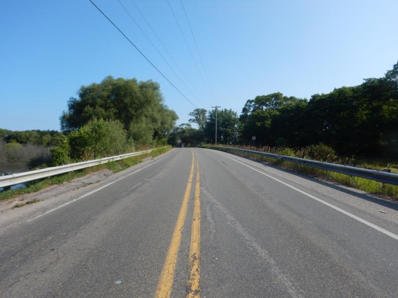
Road Stream Crossing Site LM082
Manistee River Watershed, Little Manistee River
Waters Rd
Stronach Twp,
Manistee County
Information collected by:
Site Location
GPS Coordinates: 44.208835
, -86.276586
T21N
R16W
Sec 21
Owned by Federal
Fish Passability 0.5
Total Erosion: 0.2049 tons/year
Severity: Moderate
Year Inventoried: 2019
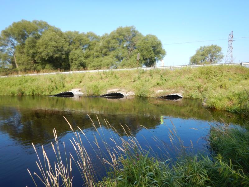
Inlet
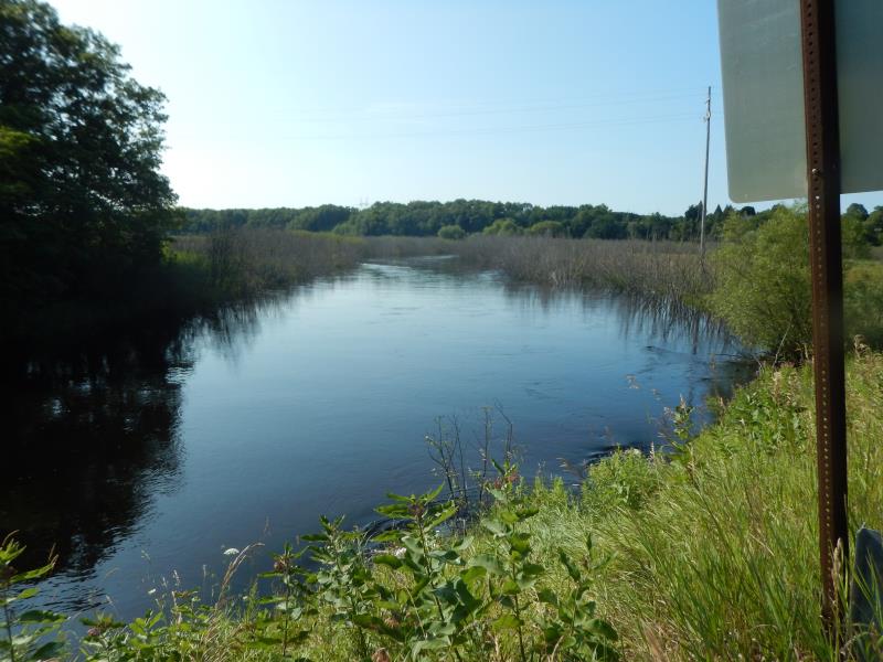
Upstream Conditions
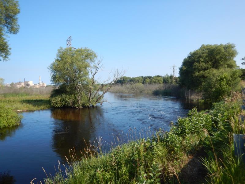
Downstream Conditions
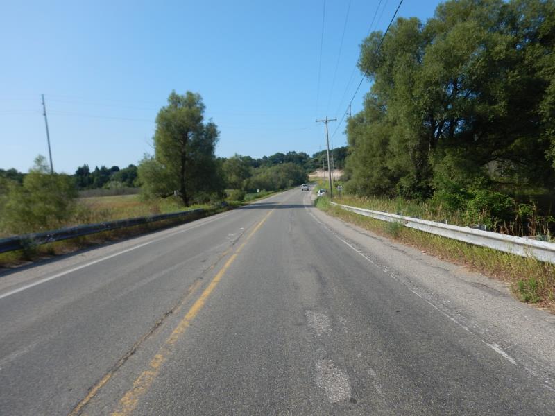
Road Approach - Left
Road Approach - Right
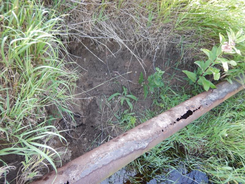
Erosion
Other
Crossing Information
Type of Crossing: culvert(s)
Number of Structures: 3
Structure Shape: Pipe Arch
Inlet Type: Mitered
Outlet Type: At Stream Grade
Structure Material: Metal
Structure Substrate: Mixture
General Conditions: Fair
Multiple Culverts/Spans | ||||
Culvert/Span | Width | Length | Height | Material |
1 |
10 ft. |
80 ft. |
8.5 ft. |
Metal |
2 |
10 ft. |
80 ft. |
8.5 ft. |
Metal |
3 |
10 ft. |
80 ft. |
8.5 ft. |
Metal |
Structure Interior: corrugated
Dimensions of Structure: Length 80 ft.
, Width 10 ft.
, Height 8.5 ft.
Structure Inlet
Water Depth: 6.8 ft.
Embedded Depth of Structure: 0 ft.
Water Velocity*: 2 ft./sec.
Structure Outlet
Water Depth: 6.8 ft.
Embedded Depth of Structure: 0.2 ft.
Water Velocity*: 2.4 ft./sec.
*Water Velocities were measured 1.8 ft. below Surface
(with Meter)
Additional Comments
Additional notes due to previous flooding; values from culvert 2; rifle estimated
Stream Information
Stream Flow: More than Bankfull
Riffle Information
Water Depth: 7 ft.
Bankfull Width: 80 ft.
Wetted Width: 80 ft.
Water Velocity: 2 ft./sec.
Road Information
Paved
Federal Road
Road Condition: Good
Road Width at Culvert: 32 ft.
Location of Low Point: Other
Runoff Path: Roadway
Embankments
Upstream
Fill Depth: 6 ft.
Slope: 1:1.5
Downstream
Fill Depth: 6 ft.
Slope: 1:1
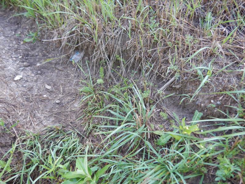
Approaches
Left Approach
Length: 150 ft.
Slope: Less Than 1%
Vegetation: Heavy
LS Factor: 0.05
Erosion: 0.0079 tons/year
Right Approach
Length: 250 ft.
Slope: 1% to 5%
Vegetation: Heavy
LS Factor: 0.44
Erosion: 0.1164 tons/year
Erosion Information
Total Erosion at Crossing: 0.2049 tons/year
Extent of Erosion: Moderate
Location of Erosion | Erosion Dimensions | Eroded Material | Material Eroded | Total Erosion | ||
facing downstream | Length | Width | Depth | Reaching Stream? | (tons/year) | |
Left Downstream Embankment |
3 ft. |
6 ft. |
4 ft. |
yes |
Sandy Loam |
0.0806 |
Summary Information
Fish Passability 0.5
These non-native species were observerd at this site: Bull Thistle and Knappweed
�