Road Stream Crossing Site LIN_CRA001
Lincoln River Watershed, South Branch of Lincoln River
N Amber Rd
Victory Twp,
Mason County
Information collected by:
Site Location
GPS Coordinates: 44.015009
, -86.319929
T19N
R17W
Sec 34/35
Owned by Private
Year Inventoried: 2019
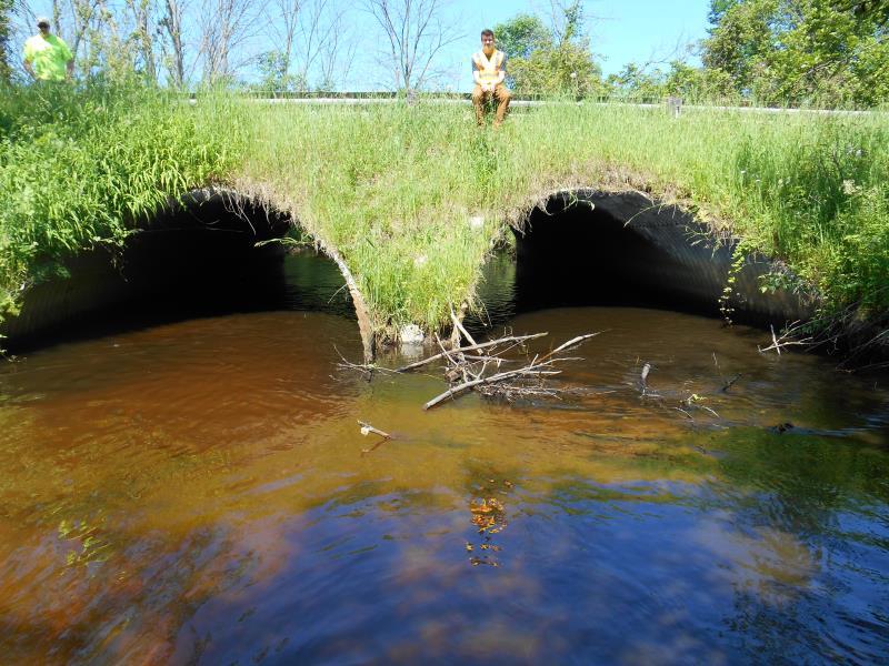
Inlet
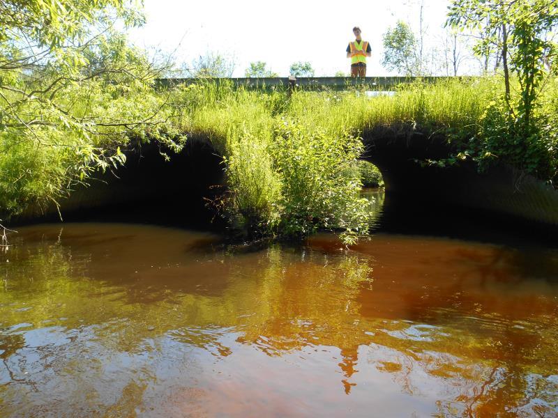
Outlet
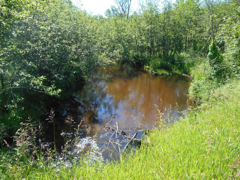
Upstream Conditions
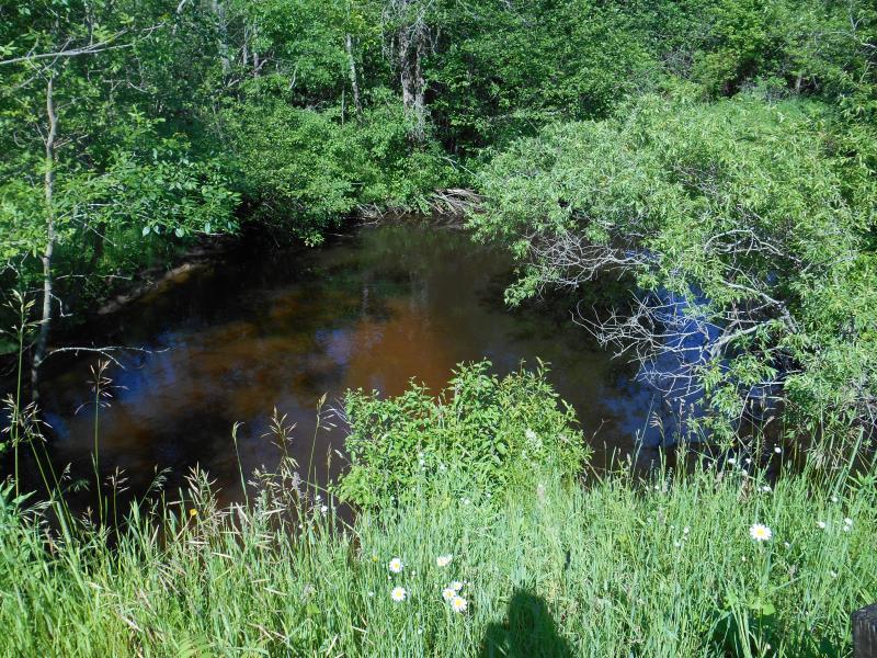
Downstream Conditions
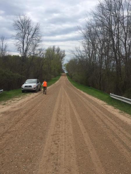
Road Approach - Left
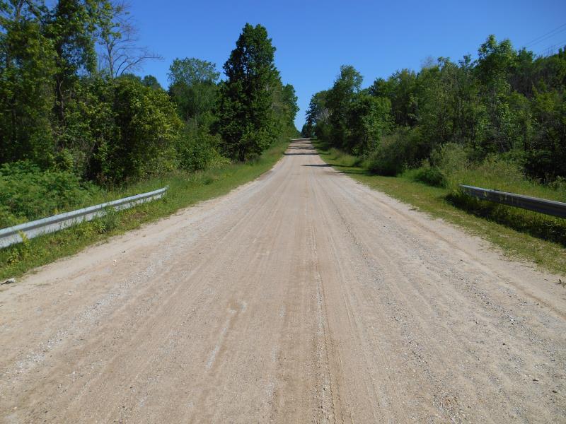
Road Approach - Right
Crossing Information
Type of Crossing: culvert(s)
Number of Structures: 2
Structure Shape: Pipe Arch
Inlet Type: Mitered
Outlet Type: At Stream Grade
Structure Material: Metal
Structure Substrate: Sand
General Conditions: Good
Multiple Culverts/Spans | ||||
Culvert/Span | Width | Length | Height | Material |
1 |
10 ft. |
43 ft. |
7.7 ft. |
Metal |
2 |
10 ft. |
43 ft. |
8.2 ft. |
Metal |
Structure Interior: corrugated
Dimensions of Structure: Length 43 ft.
, Width 10 ft.
, Height 8 ft.
Structure Inlet
Water Depth: 1.7 ft.
Embedded Depth of Structure: 0.6 ft.
Structure Outlet
Water Depth: 1.5 ft.
Embedded Depth of Structure: 0.8 ft.
(with Float Test)
Stream Information
Stream Flow: Less than Bankfull
Riffle Information
Water Depth: 1.5 ft.
Bankfull Width: 24.6 ft.
Wetted Width: 22 ft.
(Measured with Meter)
Dominant Substrate: Organics
Road Information
Sand
Federal Road
Road Condition: Good
Location of Low Point: At Stream
Runoff Path: Ditch
Embankments
Upstream
Fill Depth: 3.5 ft.
Slope: Vertical
Downstream
Fill Depth: 2.7 ft.
Slope: Vertical
Length: 500 ft.
Slope: Less Than 1%
Vegetation: Heavy
Length: 500 ft.
Slope: Less Than 1%
Vegetation: Heavy
Erosion Information
Extent of Erosion: Moderate
Summary Information
Erosion is an area of concern for this site.
�