Road Stream Crossing Site LIN_CRA002
Lincoln River Watershed, Drainage of South Branch of Lincoln River
W Sugar Grove Rd
Victory Twp,
Mason County
Information collected by:
Site Location
GPS Coordinates: 44.00605
, -86.3278
T19N
R17W
Sec 27/34
Owned by Private
Fish Passability 0.9
Total Erosion: 0.6982 tons/year
Severity: Moderate
Year Inventoried: 2019
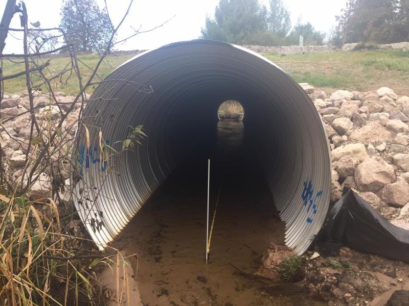
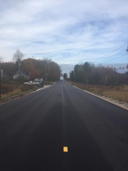
Inlet
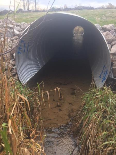
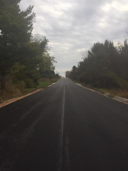
Outlet
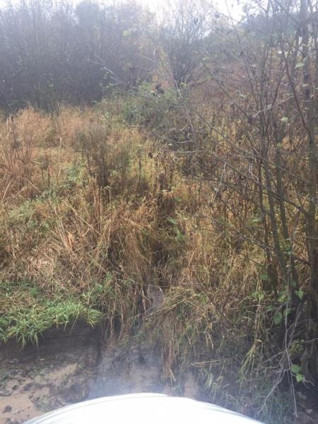
Upstream Conditions
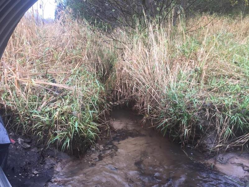
Downstream Conditions
Road Approach - Left
Road Approach - Right
Crossing Information
Type of Crossing: culvert(s)
Number of Structures: 1
Structure Shape: Round
Inlet Type: Projecting
Outlet Type: At Stream Grade
Structure Material: Metal
Structure Substrate: Sand
General Conditions: New
Structure Interior: corrugated
Dimensions of Structure: Length 90 ft.
, Width 7 ft.
, Height 7 ft.
Structure Inlet
Water Depth: 0.3 ft.
Embedded Depth of Structure: 0.9 ft.
Water Velocity*: 1.2 ft./sec.
Structure Outlet
Water Depth: 0.2 ft.
Embedded Depth of Structure: 1.5 ft.
Water Velocity*: 1.2 ft./sec.
*Water Velocities were measured at the Surface
(with Meter)
Additional Comments
Surveys conducted before and after culvert replacement.
Stream Information
Stream Flow: Less than Bankfull
Riffle Information
Water Depth: 0.6 ft.
Bankfull Width: 3.5 ft.
Wetted Width: 3.5 ft.
Water Velocity: 0.8 ft./sec.
(Measured with Meter)
Dominant Substrate: Sand
Road Information
Paved
County Road
Road Condition: Good
Road Width at Culvert: 33 ft.
Location of Low Point: At Stream
Runoff Path: Roadway
Embankments
Upstream
Fill Depth: 4 ft.
Slope: 1:1.5
Downstream
Fill Depth: 5 ft.
Slope: 1:1.5
Approaches
Left Approach
Length: 500 ft.
Slope: 1% to 5%
Vegetation: Partial
LS Factor: 0.64
Erosion: 0.3491 tons/year
Right Approach
Length: 500 ft.
Slope: 1% to 5%
Vegetation: Partial
LS Factor: 0.64
Erosion: 0.3491 tons/year
Erosion Information
Total Erosion at Crossing: 0.6982 tons/year
Erosion is occurring and corrective actions can be installed to address the problem.
Summary Information
Fish Passability 0.9
�